Rain cuts through limestone
Wied il-Qlejgħa formed as runoff eroded the landscape, creating a seasonal watercourse within a much larger valley system.
Chadwick Lakes is at its best when the valley is doing exactly what it was shaped to do - catching, slowing and storing winter rain.
Known locally as Wied il-Qlejgħa, this green valley between Rabat and Mtarfa contains a chain of dams, pools and channels that hold back seasonal runoff. The result is one of Malta's most distinctive freshwater landscapes.
The name comes from Sir Osbert Chadwick, whose late nineteenth-century waterworks improved the valley's rainwater storage. Today the historic system sits inside a restored ecological corridor with a roughly 2 km walking trail.
The valley is natural, but much of the landscape visitors recognise today is the result of deliberate water capture and management.
Wied il-Qlejgħa formed as runoff eroded the landscape, creating a seasonal watercourse within a much larger valley system.
Springs and underground cisterns in the wider area were incorporated into systems supplying the Wignacourt Aqueduct and Valletta.
A series of dams of different sizes was planned to retain more rainwater, giving the valley the name used today.
The Fiddien Box and associated channels and pipes helped supplement the growing water needs of the Harbour area.
Restoration removed debris and invasive species, repaired historic structures, improved storage and created a public nature trail.
Chadwick Lakes is the popular name. The valley itself is Wied il-Qlejgħa, and the 'lakes' are really a chain of seasonal pools and reservoirs retained behind dams rather than natural permanent lakes.
Chadwick Lakes is the popular name. The valley itself is Wied il-Qlejgħa, and the 'lakes' are really a chain of seasonal pools and reservoirs retained behind dams rather than natural permanent lakes.
The landscape makes most sense when you follow the water from one retained pool to the next. After sustained winter rain the dams and channels come alive; in dry months the same route can be almost entirely exposed.

Rainwater moves down Wied il-Qlejgħa through channels, shallow pools and successive dams. Each barrier slows the flow, stores water and prolongs its availability in the valley.
The restored system now retains around 70 million litres across the wider site, supporting agriculture while creating longer-lived wet habitat after rain.
Chadwick Lakes map. Tap to open full-screen.
The stepped barriers interrupt the valley flow, creating the linked pools that define Chadwick Lakes.
After rain, water gathers in pools and channels that support Painted Frogs, aquatic insects and riparian plants. Invasive Red Swamp Crayfish are now widespread here and can prey on tadpoles and other local freshwater fauna.
Riparian trees, reeds and damp-loving plants contrast sharply with Malta's drier surrounding countryside.
The valley changes dramatically with rainfall, so the details you notice will depend heavily on the season.
For a first visit, the official trail from the Fiddien side gives the clearest introduction to the valley's waterworks and ecology.
The old pumping station is a useful historical anchor for the walk.
This is where the name 'lakes' begins to make visual sense.
The restored trail runs through one of Malta's most unusual riparian landscapes.
Larger basins show just how much water the catchment can hold.
Water, dams, bridges, vegetation and the trail through Wied il-Qlejgħa.


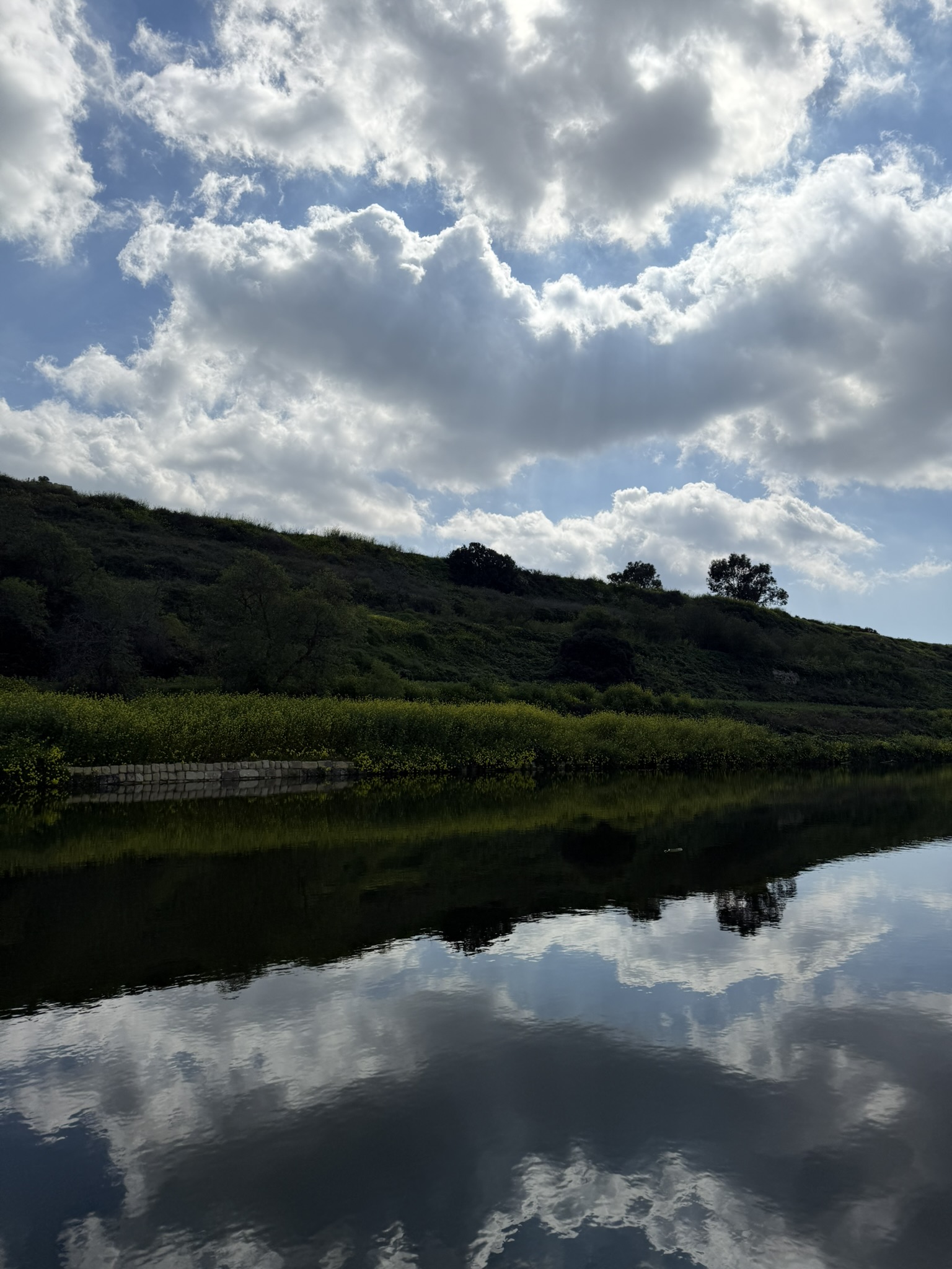
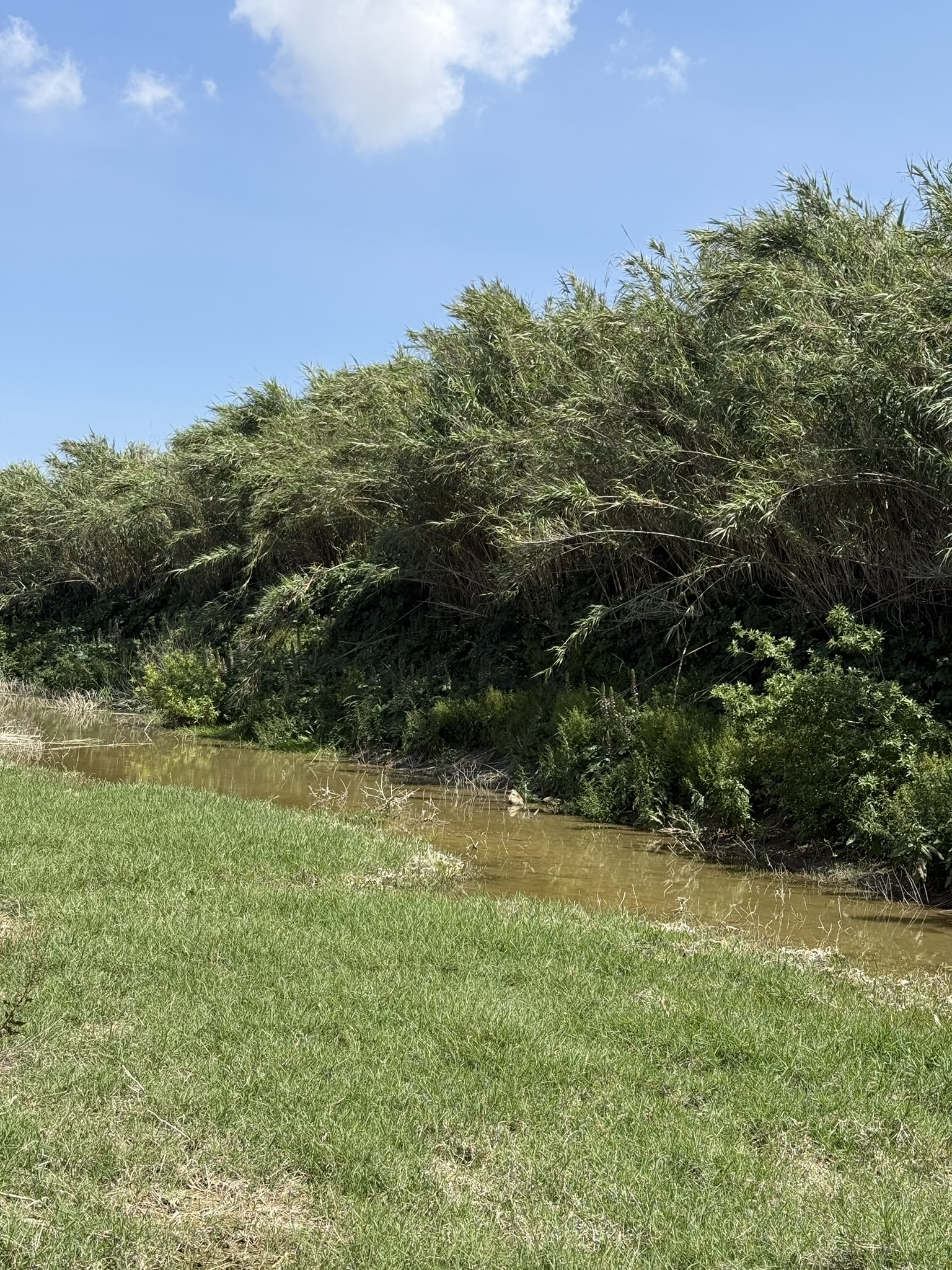


Coming here after rainfall, especially when the sun is shining, is always a wonderful experience. The water transforms the valley, everything feels greener, and the pools and small cascades make Chadwick Lakes feel completely different from Malta's usual dry landscape.
The exception is when I decide to do the trail by bike. Between the bushes, mud and awkward narrow stretches, getting through can be an absolute nightmare. It is definitely one of those routes I enjoy far more on foot.
The official Chadwick Lakes site covers the trail and places of interest, while the Energy & Water Agency explains the regeneration and water-management work.