The apiaries
The name is the plural of miġbħa, an apiary - a reminder of the beekeeping landscape that once characterised Selmun.
This route links quiet Mġiebaħ with the exposed limestone of St Paul's Islands.
Mistra is the launch and hinge of the route. Paddle first towards quieter Mġiebaħ, then return past Mistra and follow the coast beneath Rdum il-Bież towards the islands.
The loop combines sheltered bays, exposed headlands, a short open-water crossing and one of Malta's most recognisable offshore landmarks.
Mġiebaħ, Selmunett and Tal-Barba Marku carry traces of farming, family names and a story of escape at sea.
The name is the plural of miġbħa, an apiary - a reminder of the beekeeping landscape that once characterised Selmun.
Historic maps used forms of Salomone and Salomonetto for the Selmun area and the islands. In Maltese, the smaller form became Selmunett.
One traditional name recalls Marco di Maria, who in 1576 is said to have escaped pursuing corsairs through the shallow channel by the islands, where the larger vessel ran aground.
Launch from Mistra, pass the pale shore platform of Il-Blata l-Bajda, then continue along the Selmun coast to Għajn Ħadid and Mġiebaħ before heading out to St Paul's Islands and returning to Mistra.
Launch from Mistra towards Il-Blata l-Bajda, where motocross and dirt bikes cut across the exposed slopes above. Beyond, Rdum il-Bież gives the Selmun coast its most dramatic cliff line.
Continue along Selmun towards Għajn Ħadid, staying close enough to read the coast while giving exposed rocks and any rebound room.
Paddle on towards Mġiebaħ, where the coast becomes more enclosed and the route reaches its first real bay stop.
Leave Mġiebaħ and follow the coast back past Mistra towards the more exposed water beneath Rdum il-Bież, then commit to the crossing towards St Paul's Islands.
Beach the kayak when conditions allow, secure it above the wash and take time to explore the island before returning to the water.
Leave Selmunett behind and paddle back towards Mistra, finishing inside the shelter of the bay.
Mistra and Mġiebaħ can feel protected while the water off Rdum il-Bież and around the islands is doing something very different.
Mistra gives the route a simple launch and a natural midpoint.
The exposed section matters more than the sheltered launch.
Choose the sea state first, then the season.
Pack for open water even though much of the route hugs the coast.
From Mistra through Il-Blata l-Bajda and Għajn Ħadid to Mġiebaħ, following the coast in route order.


Mistra → Rdum il-Bież → Il-Blata l-Bajda → Għajn Ħadid → Mġiebaħ.
The island stop is worth more than a quick beaching. Once the kayak is secure, Selmunett becomes a short walk through a small but surprisingly layered piece of Maltese history.
From the water, the statue dominates. On foot, the island feels rougher, quieter and more exposed.
Tradition links the islands with St Paul’s shipwreck around AD 60, although the exact wreck site remains uncertain. That association shaped their modern identity and monument.
There are no facilities - only weathered limestone, low vegetation and open views towards Selmun and St Paul’s Bay.
The stone statue was erected in 1844 and inaugurated and blessed on 21 September 1845. Sculptors Sigismondo Dimech and Salvatore Dimech show Paul with a book in one hand and the other raised above the sea.
The island also holds the remains of a Lascaris-period tower that was later adapted as a farmhouse. A farmer, Vincenzo Borg, lived here until shortly before the Second World War; the abandoned structure survives only as a ruin.
Follow the rough ground beyond the landing and take in the narrow shape of Selmunett. A shallow saddle can visually split it into two islets, which is why the name is often written in the plural as St Paul’s Islands.
St Paul's Island is joined across a very shallow isthmus. When the sea level rises enough to cover that low connection, the land splits into two: the larger western part remains St Paul's Island, while the smaller eastern part is known as Quartz Island. It is also why you will often see the name written in the plural as St Paul's Islands.
The landmarks, trail, ruins, Quartz Island and views back towards the Selmun coast.


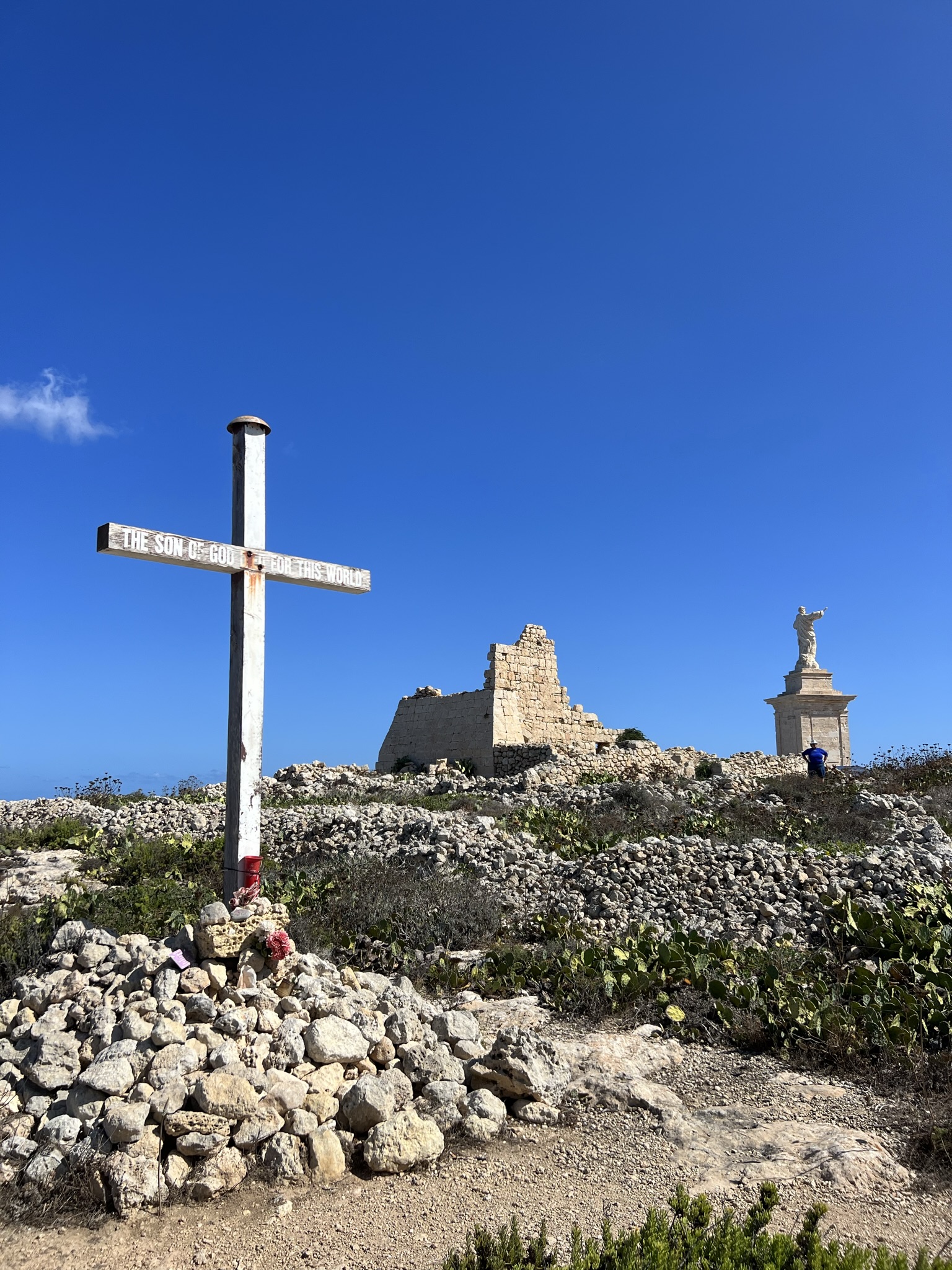

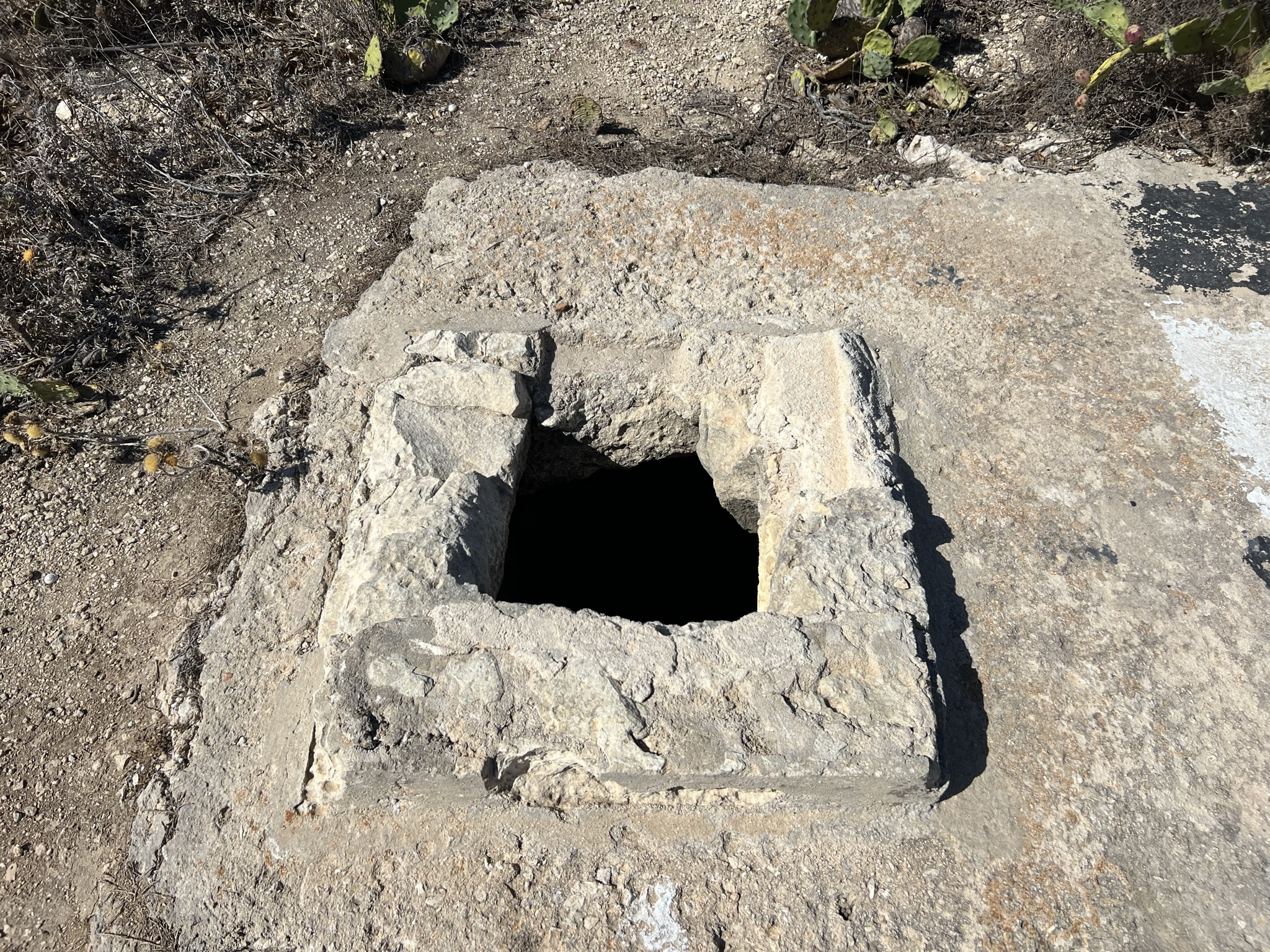


The appeal here is the contrast. Mġiebaħ feels tucked away beneath Selmun, while the second half turns towards open cliffs and an offshore destination.
That makes Mistra more than a launch point. Passing it again between the two halves gives you a useful moment to decide whether the sea still suits the island crossing.
St Paul's Islands are close enough to feel attainable but far enough offshore to change the mood of the paddle. Once you land and look back towards the Maltese coast, the route feels much bigger than the distance suggests.
For a relatively compact north-coast route, it feels unusually complete: bay paddling, limestone cliffs, open water and an island landing all fit into the same loop.
Geographical and historical context for the coast around Mistra, Selmun and St Paul's Islands.