The valley and harbour
Wied means valley in Maltese. The name links this narrow coastal inlet with Żurrieq and its long relationship with the sea.
Blue Grotto changes completely at sea level, where Il-Ħnejja becomes part of a coast of caves and cliffs.
Launch from Wied iż-Żurrieq and turn onto Malta’s exposed south coast. Blue Grotto is the headline stop, with its limestone arch and sea caves lit by reflected blue water.
Continue to Wied Babu for a quieter inlet before retracing the same compact stretch back to the harbour.
The route is short, but its names tell the story of valleys, an arch and the deep blue water that made this coast famous.
Wied means valley in Maltese. The name links this narrow coastal inlet with Żurrieq and its long relationship with the sea.
Il-Ħnejja means “the arch”. The English name Blue Grotto became popular after the site was compared with Capri’s Grotta Azzurra.
The extra leg reaches another steep-sided wied, where the cliffs narrow around the inlet before the route turns back.
Leave the harbour, explore the arch and caves when conditions allow, continue to Wied Babu and then retrace the coast.
A compact coastal loop built around the arch, caves and Wied Babu.
Launch inside the inlet, stay clear of working boats and turn onto the south coast where the rock walls rise quickly above the kayak.
Il-Ħnejja is the route’s defining moment. When the sea is settled and the approaches are clear, the kayak gives a close view of the arch, cave mouths and reflected blue light.
Continue beyond the headline attraction to Wied Babu, where the coast narrows into another steep-sided inlet and the route feels immediately less busy.
Turn back along the same cliffs, give the cave entrances and sightseeing boats plenty of room, then finish inside the shelter of Wied iż-Żurrieq.
It is a short return, but the harbour approach can be the busiest part of the paddle. Slow down, stay visible and keep clear of boats entering or leaving the inlet.
The route is short enough to look easy on a map, but the south coast is exposed and the cave system concentrates both swell and traffic.
A sheltered start feeding directly onto an exposed coast.
Caves magnify small mistakes in judging swell.
Morning gives the route its best combination of light and usually quieter conditions.
Pack for exposed coast and cave exploration, not the short distance.
Twenty-one photographs from the paddle, kept in the sequence supplied for the route log.

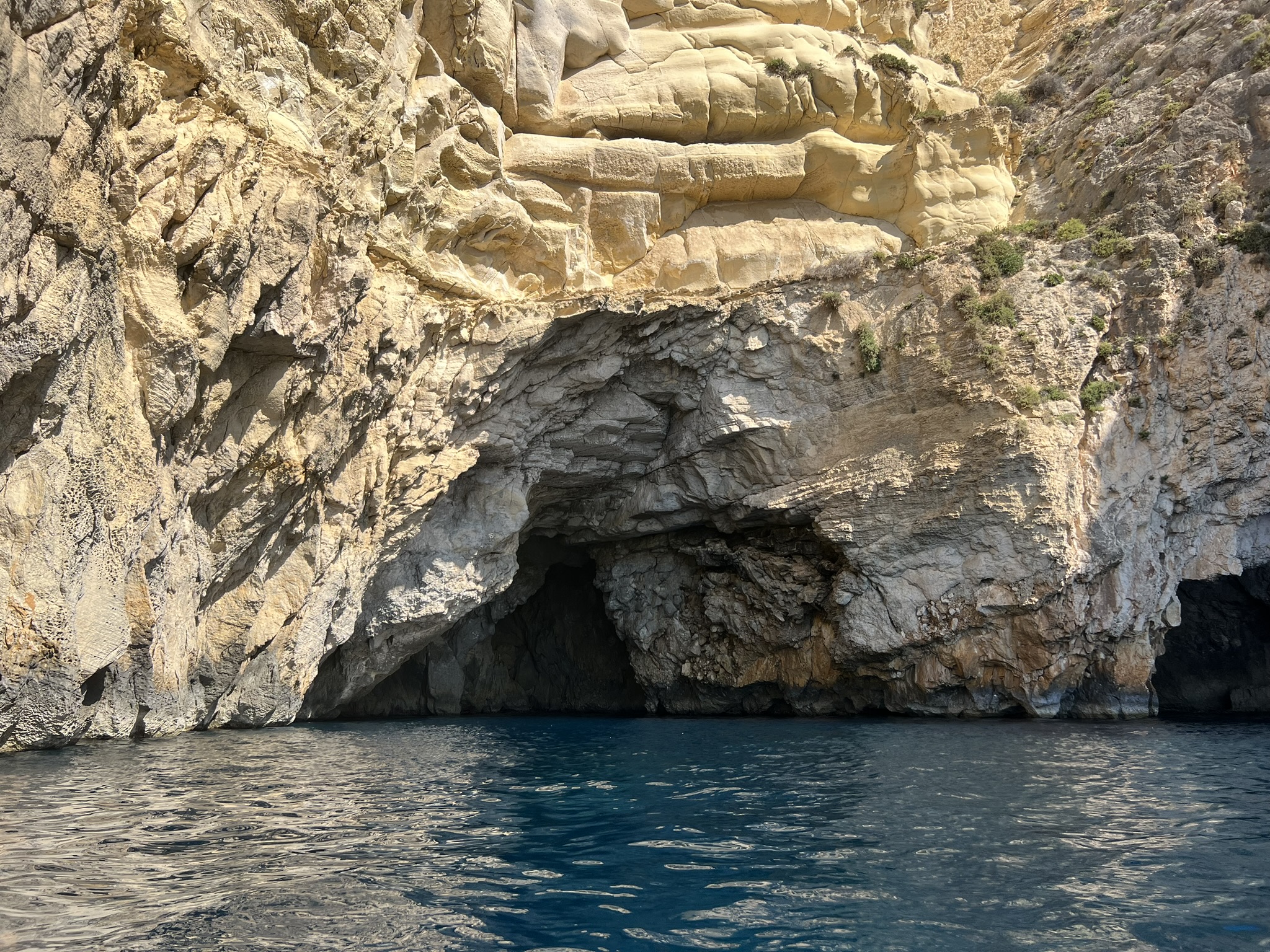

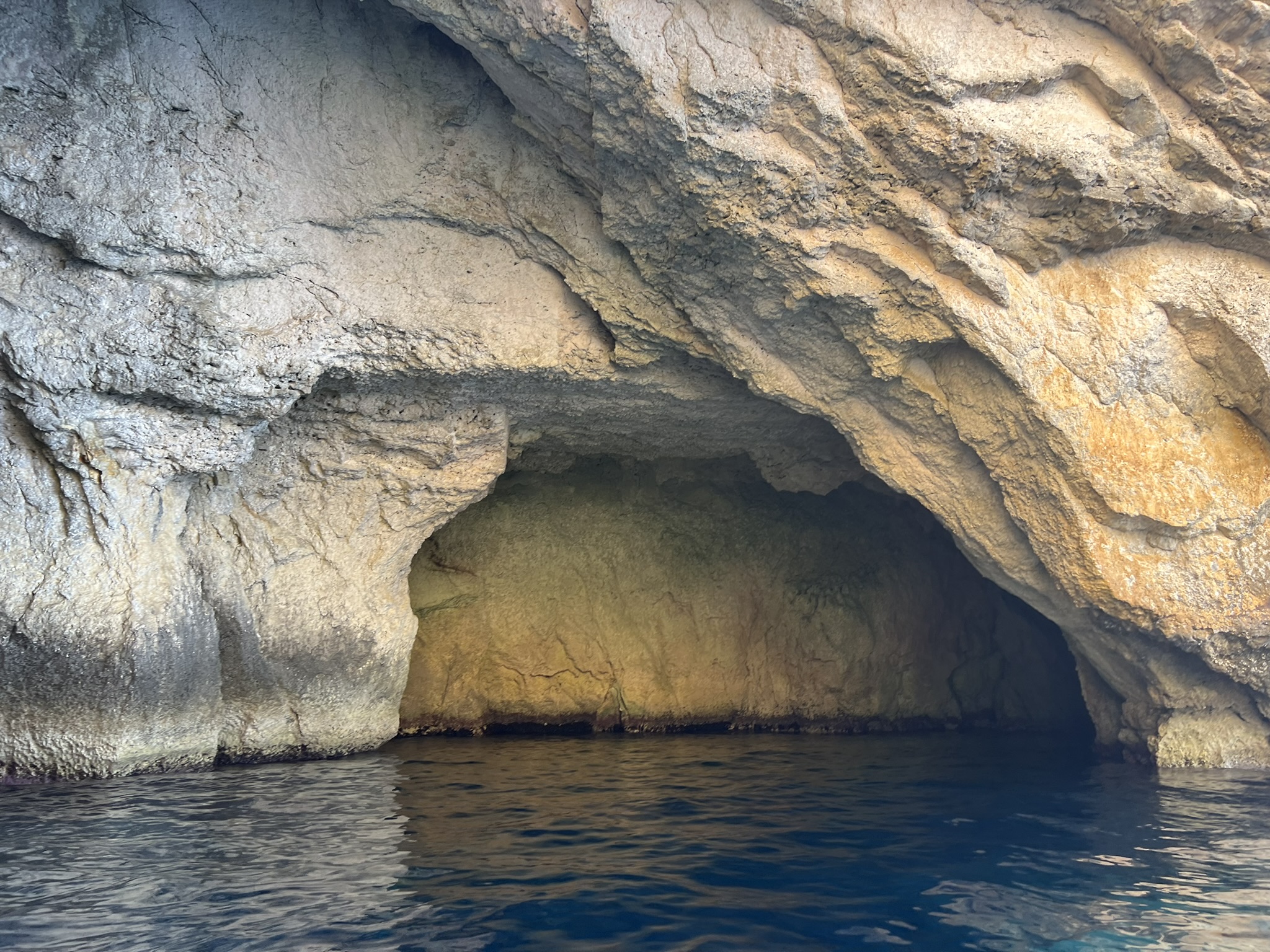


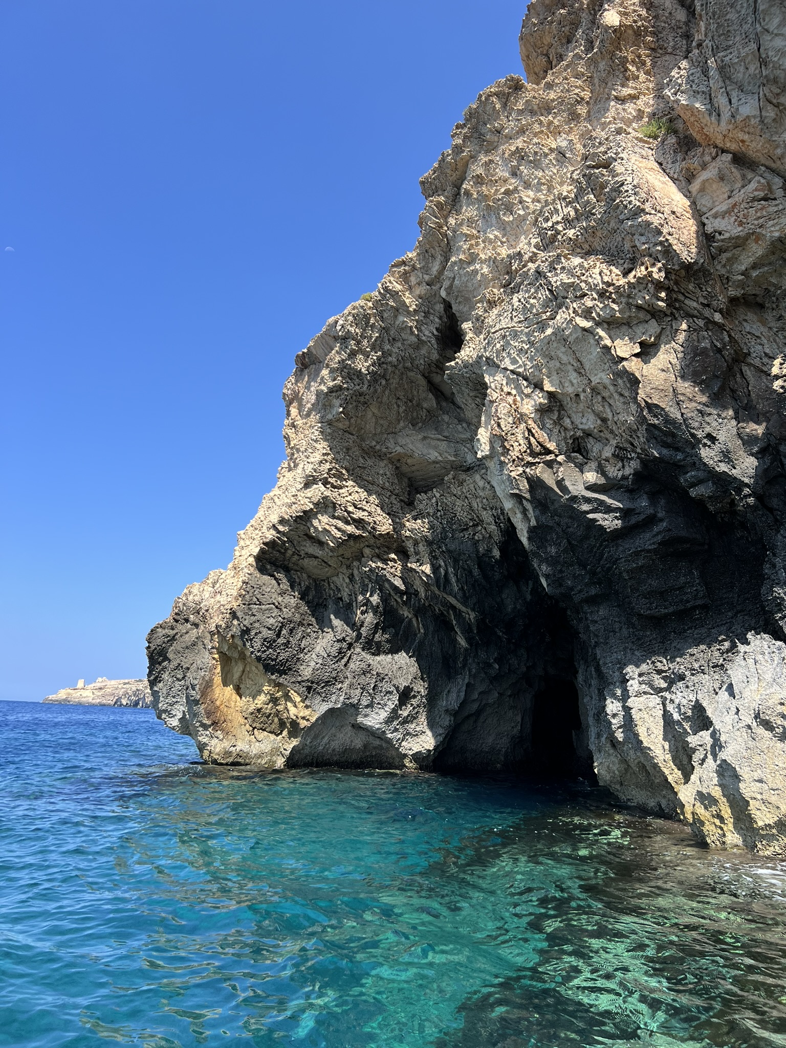


Six clips from the paddle, kept in the sequence supplied for the video log.
The route is short, but there is very little dead distance. The harbour opens almost immediately onto cliffs, caves and the huge arch of Il-Ħnejja.
From a kayak, the best part is the change in scale. The viewpoint makes Blue Grotto look like a single feature; from the water it becomes a whole sequence of rock walls, cave mouths, reflected light and open sea.
Wied Babu is worth adding because it changes the rhythm of the paddle. After the famous grotto, the narrower inlet feels quieter and gives the route a natural turning point.
This is one to take slowly. The appeal is not the distance but being able to stop, look into the caves when conditions allow and read the coastline from a few centimetres above the water.
Blue Grotto context and background to the surrounding south coast.