The sunny side
Xemxija comes from xemx, the Maltese word for sun, and carries the sense of a sunny or sunlit place. The name is particularly fitting for the exposed side of St Paul's Bay below the ridge.
This is less a walk through one historical period than a walk through the accumulated use of one ridge.
Xemxija's Heritage Trail climbs from the waterfront onto Bajda Ridge, where an old stone road traditionally identified as Roman passes caves, apiaries, tombs, rural structures and cart ruts.
Its appeal is the overlap: prehistoric and Punic remains, Roman-period infrastructure later used by pilgrims, reused caves and later farming, with twenty recorded heritage sites packed into a remarkably short walk.
Sun, pilgrimage and beekeeping all survive in the language surrounding the trail.
Xemxija comes from xemx, the Maltese word for sun, and carries the sense of a sunny or sunlit place. The name is particularly fitting for the exposed side of St Paul's Bay below the ridge.
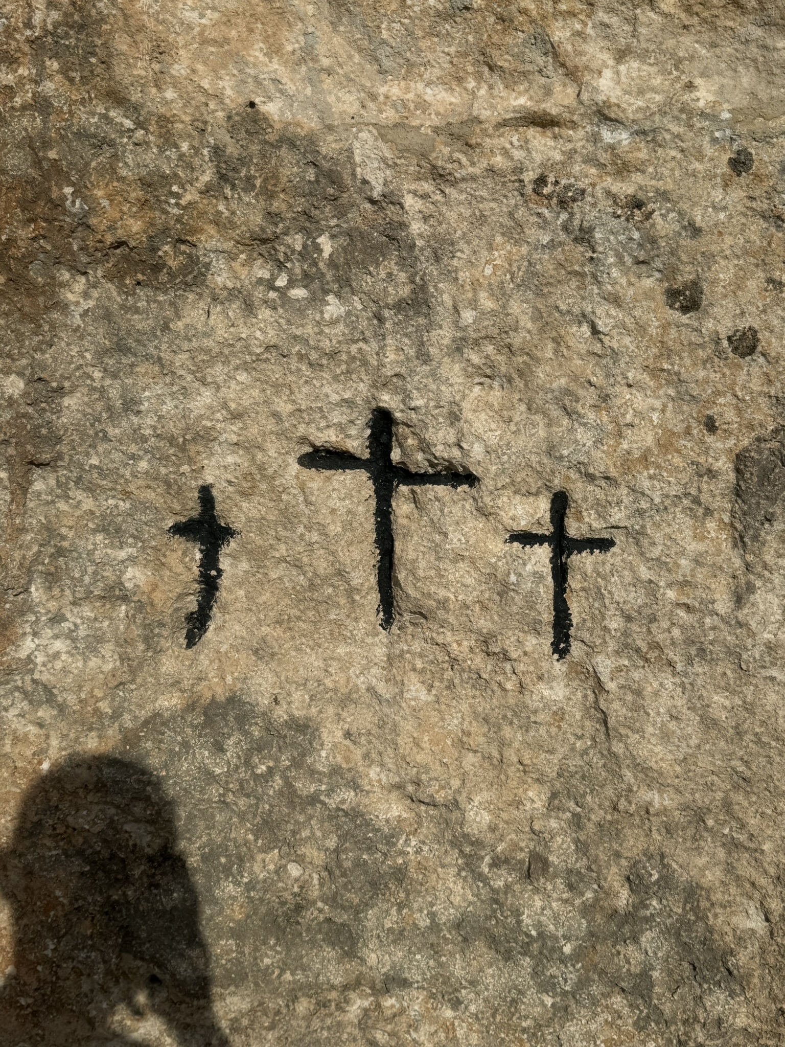
The old road became known as the Pilgrims' Way because pilgrims used it towards the Sanctuary of Our Lady in Mellieħa; rock-cut crosses are traditionally linked to that later use.
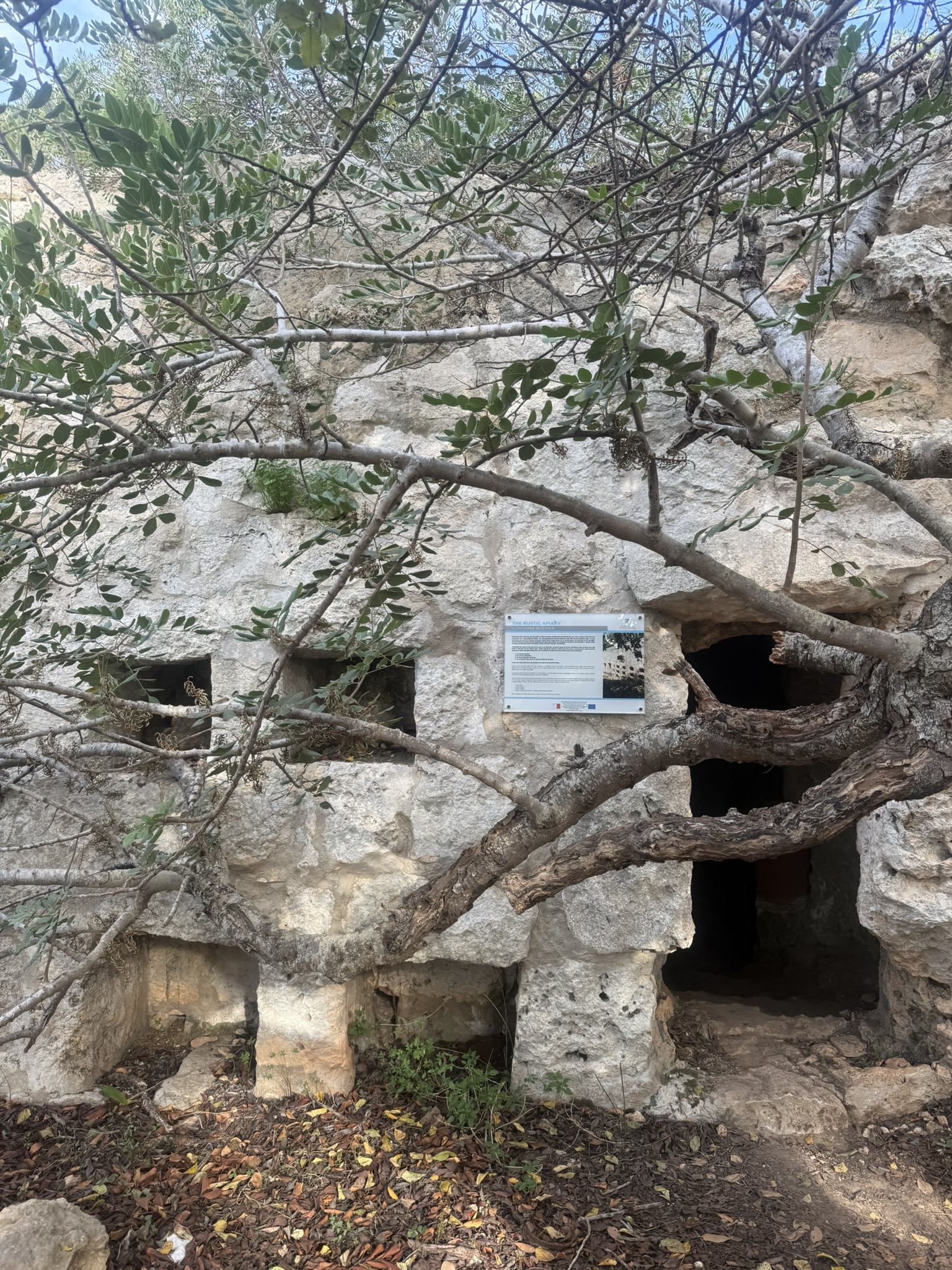
A miġbħa is a place where bees are kept. The word feels especially appropriate here because the rock-cut apiaries are among the trail's most distinctive surviving structures.
The trail also reaches the parallel grooves called cart ruts. Their date and function remain debated, but they show movement across the ridge long before the modern road network.
The Roman Road is easy to recognise, but many heritage stops sit on short side branches. Use the map and numbered plaques rather than expecting one continuous marked path.
The climb begins on the old stone road, where surviving kerbs and drainage channels remain clear. Nearby are rubble walls, the standing stone usually described as a menhir, and the Cave of the Galley, apparently reused for habitation after an earlier funerary role. Pilgrim crosses higher up belong to a later chapter.
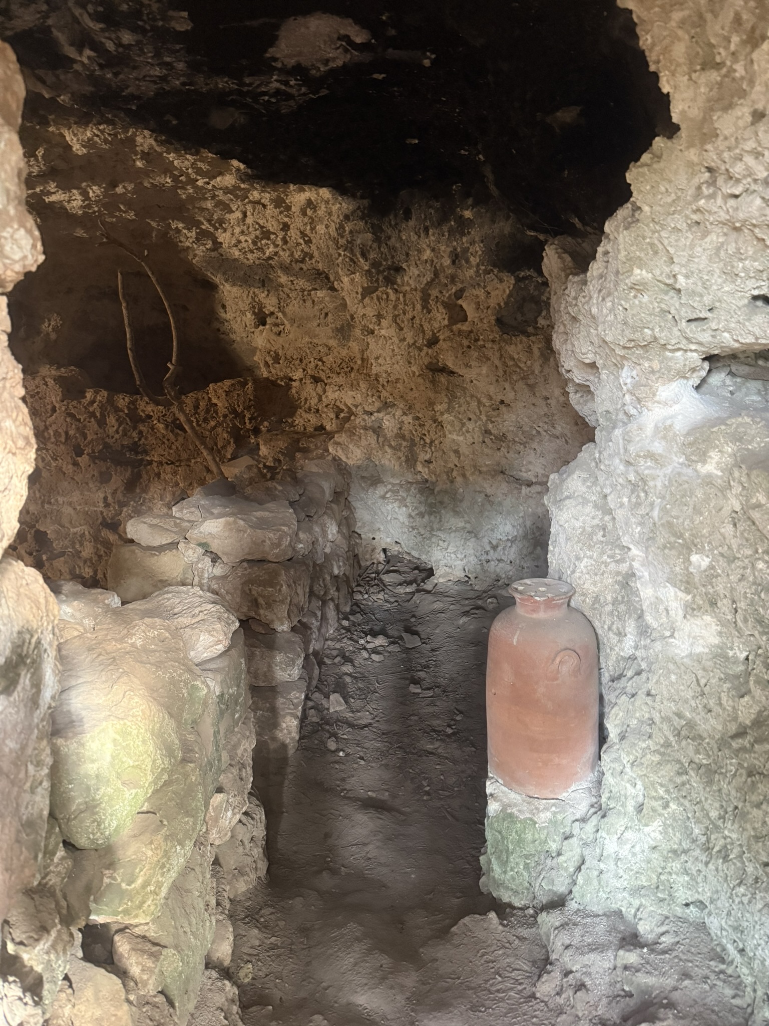
The Punic-Roman apiary is the visual centrepiece: rows of openings in a worked rock facade once connected with beehive chambers behind. Nearby, an old carob tree shades a burial cave and later rural apiary. Its traditional age of around a thousand years is difficult to verify.
Side paths lead to Punic tombs, prehistoric burial chambers, remains traditionally identified with a Neolithic temple, and a rock-cut granary or silo later adapted as a well. Here the chronology becomes obvious: the Roman road is only one layer in a much older landscape.
Continue through cave dwellings, the reconstructed farmer's hut and dry-stone structures towards the eastern ridge. Near Mistra are cart ruts and rock-cut features historically labelled Roman baths; their interpretation and dating remain uncertain, so a debated rock-cut complex is safer. Loop back towards Xemxija.
Rock-cut burials, the standing stone and prehistoric remains show the ridge mattered long before Roman Malta.
The road and apiary are the clearest ancient remains, while nearby funerary and agricultural features show movement and production.
Long after Roman rule, travellers still used the route towards Mellieħa's Marian sanctuary; crosses beside the road preserve that continuity.
Cave dwellings, apiaries, rubble walls, huts and field structures show small-scale rural life continuing into much more recent centuries.
The walk is physically easy; the challenge is finding the smaller sites and knowing what you are looking at.
The trail starts just above Xemxija Bay.
Cool weather suits both the walking and the archaeology.
You do not need serious hiking kit.
From rural structures and ancient apiaries to tombs, cave dwellings, cart ruts and the old pilgrim route carved into the ridge.







For me, the appeal of this trail is how much history is packed into such a short loop. The Roman road, apiaries, tombs, cave dwellings and cart ruts appear one after another, making it feel less like visiting a single site and more like walking through several layers of Malta at once.
The Northern Region heritage trail and the original trail booklet provide local context for the Roman Road, archaeology and the twenty-stop sequence.