The pomegranate creek
The usual translation is Pomegranate Creek: ħondoq refers to a hollow or creek, while rummien means pomegranates.
A small trail with far more coastline than its distance suggests.
Between Ħondoq ir-Rummien and Mġarr, Gozo's south-east coast stays close to the sea, with Comino across the channel and Mġarr gradually appearing ahead.
It is a short but rougher-than-expected walk across open rock, eroded ground and Blue Clay around Ta' Bumbarin, Ġebel Barbaġanni and Taċ-Ċawl.
The names along this coast preserve references to plants, birds, marine life and Gozo's main harbour.
The usual translation is Pomegranate Creek: ħondoq refers to a hollow or creek, while rummien means pomegranates.
One interpretation links Bumbarin with an old Maltese name for the Mediterranean monk seal, an animal once associated with the islands' sea caves. The connection is plausible rather than certain.
Ġebel Barbaġanni means the Barn Owl's rocks. Nearby Ġebel taċ-Ċawl is more ambiguous: ċawl can refer to the locally extinct jackdaw or to the damselfish.
The name has been linked both to a landing or carrying place and to the plural of miġra, a watercourse. The second reading fits the springs historically recorded around the harbour.
The coastal line is intuitive but rough and locally eroded. The embedded track was recorded from Mġarr to Ħondoq, so follow it in reverse for this post.
From Ħondoq, follow the coast west with the sea on your left. Madonna tal-Blat and Comino remain useful reference points as the trail crosses open rock and low scrub.
Continue around Ta' Bumbarin and Ġebel Barbaġanni through low maritime vegetation. Rough side paths descend towards the shoreline but are steeper than the main trail and optional.
Around Taċ-Ċawl, the geology becomes obvious: grey Blue Clay, pale Globigerina Limestone and displaced blocks of harder rock sit side by side, while Ġebel taċ-Ċawl appears almost detached.
The final section bends towards Mġarr beneath Fort Chambray, where the quiet coast gives way to moorings, ferries and restaurants - a practical place to finish.
The ferry terminal beside the finish makes this an easy Malta day trip. Extend it through Għajnsielem or Fort Chambray, or return to Ħondoq through Qala for a loop.
Logistics are easy; trail condition, heat and cliff exposure matter more.
Mġarr is the easier end.
Erosion matters more than mileage.
Cool, dry and calm conditions are best.
Simple kit, but wear proper shoes.
From Ħondoq ir-Rummien through Ta' Bumbarin and Taċ-Ċawl to the first views of Mġarr Harbour.
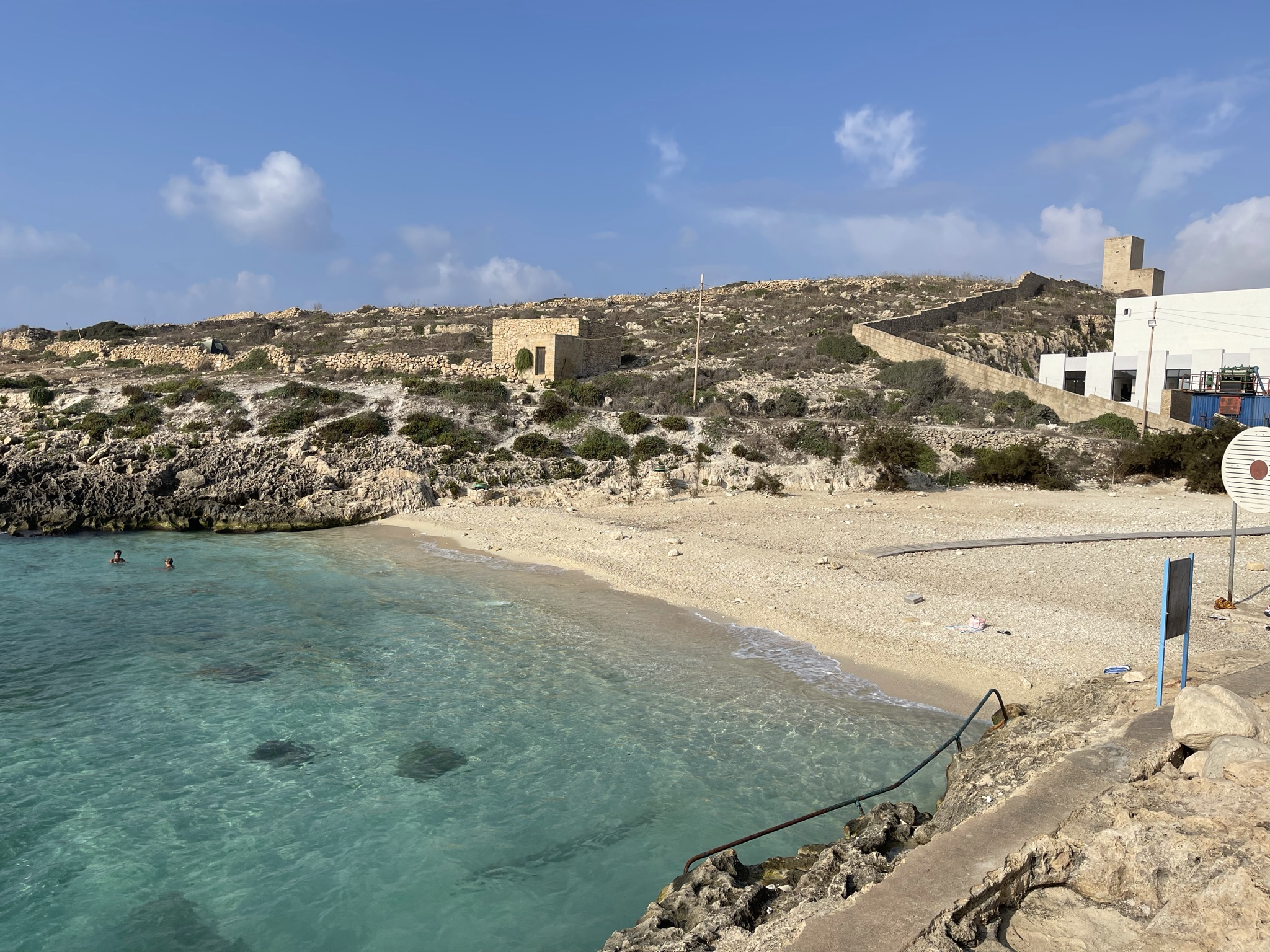

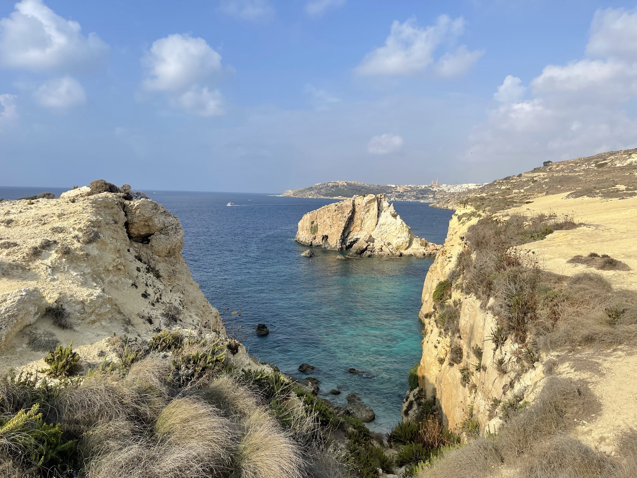


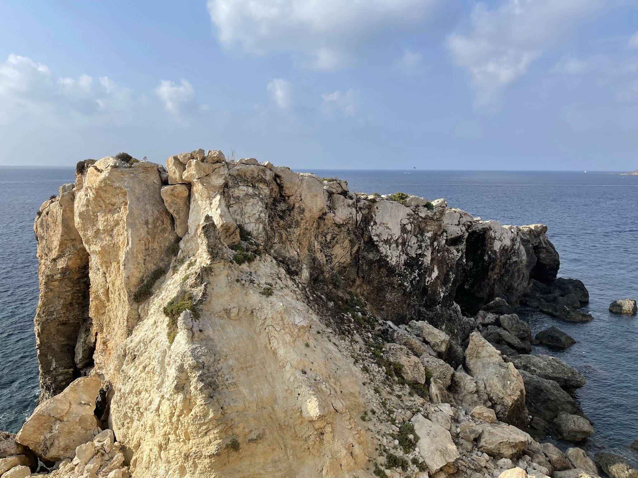


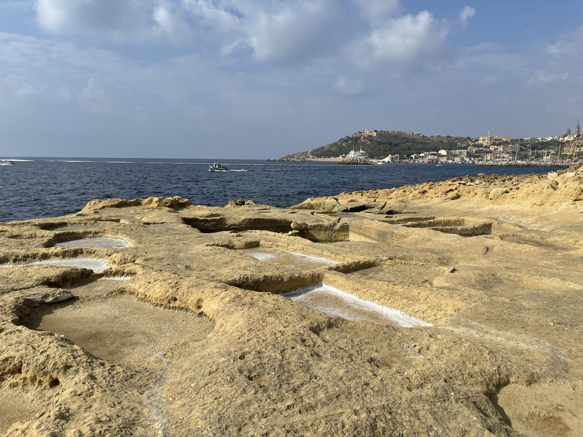


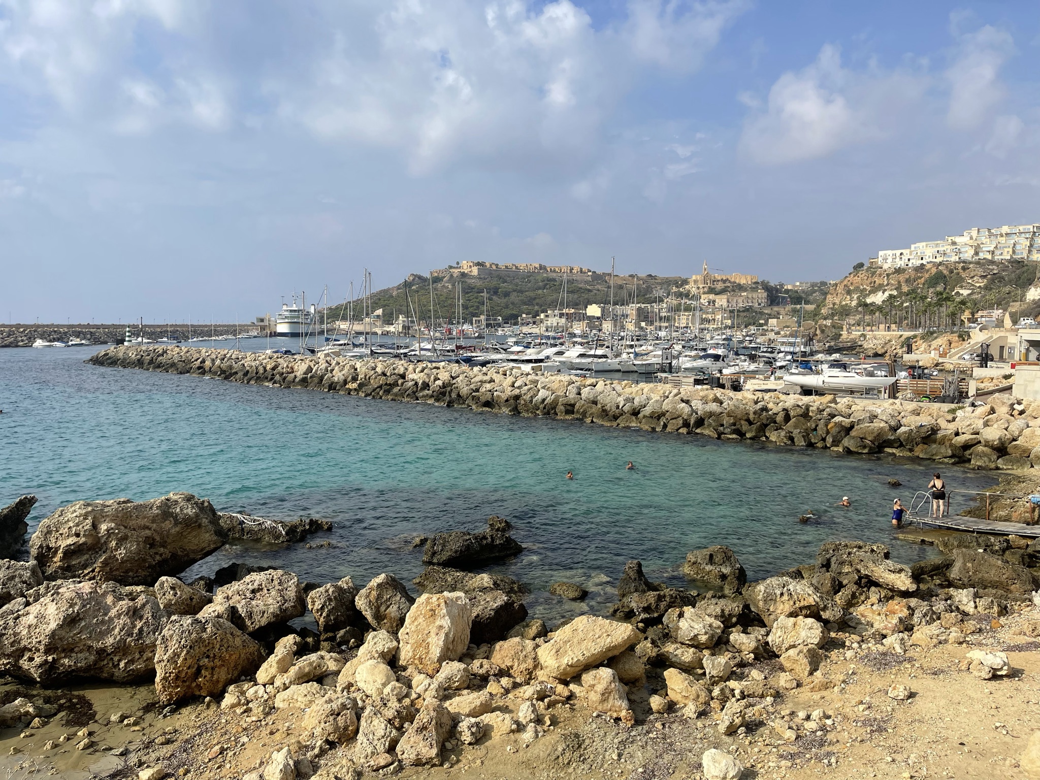
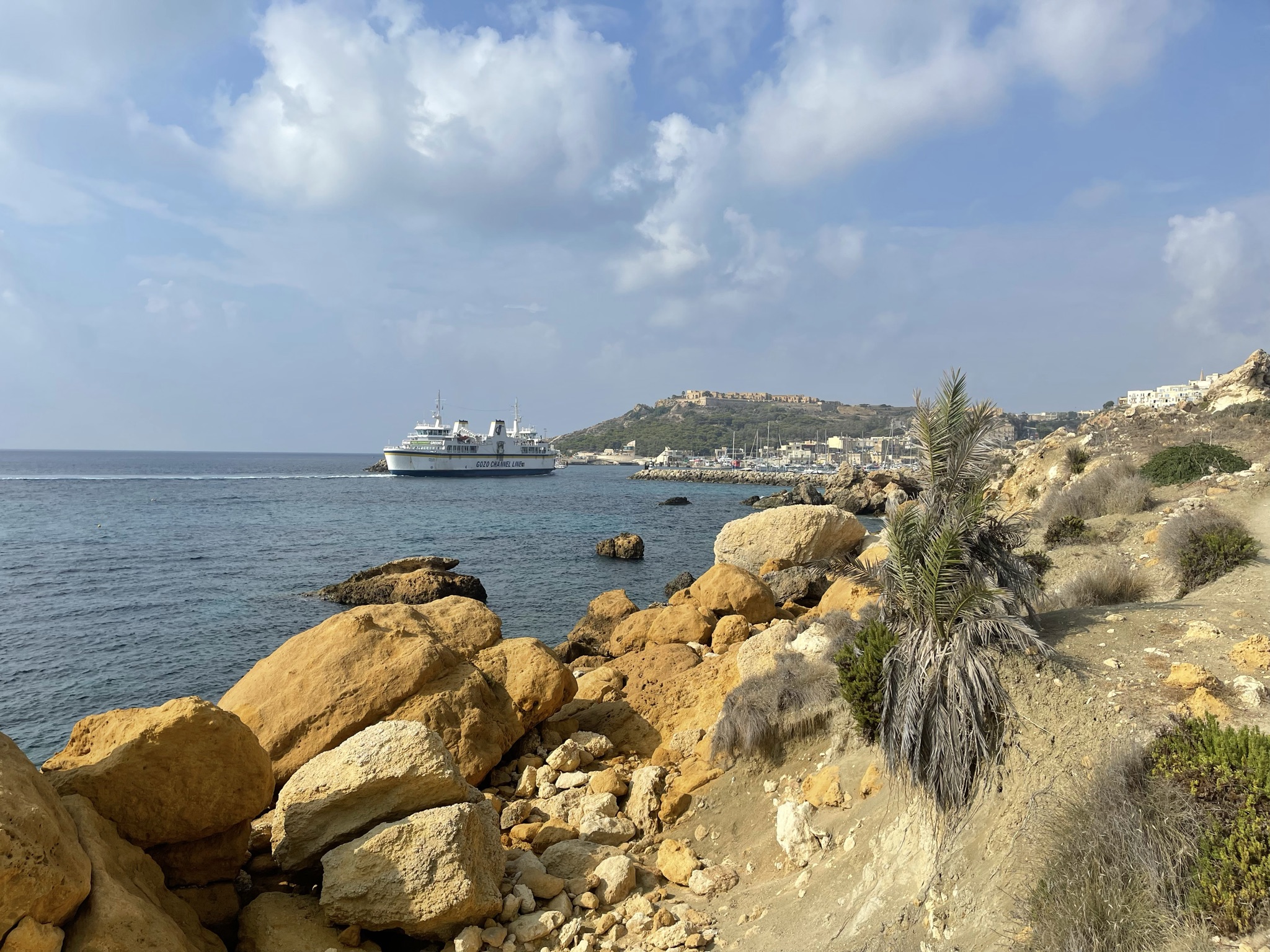
This was a quick, unplanned getaway hike - exactly what I needed. For a couple of hours I had almost complete solitude between Ħondoq and Mġarr, with little more than the sea, cliffs and path ahead; simple, quiet and restorative.
Walking and coastal context for Ħondoq ir-Rummien, the Gozo Channel and Mġarr.