Malta · Kayaking

Ta' Marija Cave
From Ġnejna to Fomm ir-Riħ

A west-coast paddle from Ġnejna, past the boathouses and Ras il-Pellegrin, through Ta’ Marija Cave and on to remote Fomm ir-Riħ.

Distance Approx. 7 km return
Time Approx. 3 hours
Difficulty Moderate · condition dependent
Route Out-and-back · cave + remote bay
A west-coast route built around two landmarks

Ta’ Marija is the first major reveal. Fomm ir-Riħ turns the paddle into a complete coastal journey.

Ta’ Marija Cave sits between Ġnejna and Fomm ir-Riħ on Malta’s north-west coast. Continuing beyond the cave turns a rewarding paddle into a fuller journey: sheltered launch, old boathouses, exposed headland, huge sea cave, cliff-backed water and finally remote Fomm ir-Riħ.

Ta’ Marija is the natural checkpoint on the outbound leg. Local hire guidance suggests about two hours for the cave and around three hours for the more adventurous trip to Fomm ir-Riħ, which adds both exposure and a second destination.

Conditions decide the route. Ġnejna may be calm while Ras il-Pellegrin and the cliffs beyond Ta’ Marija are much more exposed. If there is surge at the cave or the water beyond feels marginal, turn back there.

Place names

Four names along the paddle

Four Maltese place-names follow the route from bay to headland, cave and remote cove.

Ġnejna

‘The little garden’

Ġnejna is the diminutive of ġnien, meaning garden - fitting for the sheltered valley behind the beach.

Ras il-Pellegrin

The headland on the way out

Ras means head or headland. Pellegrin is less certain, with links suggested to both the peregrine falcon and the surname Pellegrino.

Ta’ Marija

Literally, ‘of Mary’

In Maltese, ta’ marks association and Marija is Mary, making the name ‘of Mary’. I have not found a reliable source for the story behind it.

Fomm ir-Riħ

‘Mouth of the wind’

Fomm means mouth and riħ means wind - an apt name for this exposed west-coast bay.

Kayak profile

Start
Ġnejna Bay
Open launch point
Turnaround
Fomm ir-Riħ Bay
Open Fomm ir-Riħ
Distance
Approx. 7 km return
Time
Approx. 3 hours with short stops
Difficulty
Moderate in calm conditions
Exposure
Sheltered bay → open headland → cave → exposed cliffs
Key stops
Ta’ Marija Cave · Fomm ir-Riħ
Best conditions
Light wind · low swell · good visibility
The route

From a sheltered beach to one of Malta’s wildest bays

The coast becomes progressively more exposed as you head south. Treat Ta’ Marija as a checkpoint and reassess the sea before continuing to Fomm ir-Riħ.

Ġnejna → Boathouses → Ras il-Pellegrin → Ta’ Marija → Fomm ir-Riħ → Ġnejna

A schematic paddle sequence, not turn-by-turn navigation.

Coastal outbound · direct return
01
LaunchĠnejna Bay
02
CoastBoathouses
03
ExposureRas il-Pellegrin
04
CaveTa’ Marija Cave
05
TurnaroundFomm ir-Riħ
06
ReturnĠnejna Bay

Conditions can change after Ras il-Pellegrin and again beyond Ta’ Marija. If either section feels marginal, turn back.

01 · Ġnejna Bay → Boathouses

Start in the shelter of the bay

Launch from Ġnejna and use the sheltered first stretch past the fishermen’s boathouses to settle into the kayak and judge the wind before the coast becomes more exposed.

02 · Boathouses → Ras il-Pellegrin

Follow the coast out of the bay

Follow the shoreline out of Ġnejna as the beach gives way to wilder, sculpted rock. Watch for small craft and leave room around projecting rock.

03 · Ras il-Pellegrin → Ta’ Marija

The exposed section

Ras il-Pellegrin is where the paddle can change character: wind chop or swell may appear even when Ġnejna is calm. Farther on, Ta’ Marija grows from a dark opening into a huge chamber.

04 · Ta’ Marija → Fomm ir-Riħ

Continue beneath the west-coast cliffs

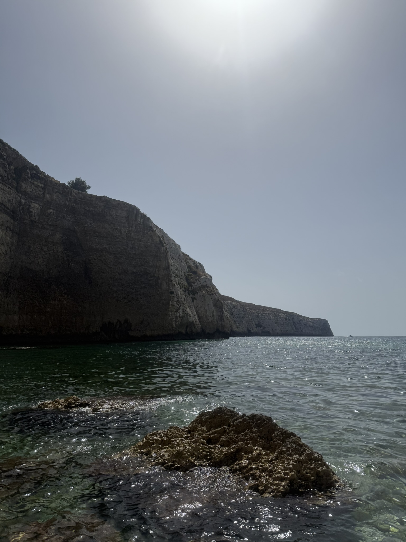
Continue south beneath the cliffs as Ġnejna disappears behind you. Fomm ir-Riħ gradually emerges as a remote shingle cove beneath steep slopes.

05 · Fomm ir-Riħ → Ġnejna Bay

Turn with plenty left in reserve

Use Fomm ir-Riħ as the turnaround, landing only if conditions allow. A more direct return to Ġnejna is possible in suitable wind, swell and visibility; otherwise follow the coast back.

The second half

Local hire guidance treats Fomm ir-Riħ as the more adventurous three-hour option, making Ta’ Marija the natural checkpoint before the exposed continuation south.

Inside Ta’ Marija

The cave is the first reward - and a decision point

The entrance looks inviting, but cave access depends entirely on the sea at the mouth. It is also the point to decide whether conditions justify continuing to Fomm ir-Riħ.

01 · Scale

Bigger once you are beneath it

Published descriptions put the inner opening at roughly six metres high and wide. From a kayak, the dark ceiling makes it feel larger still.

02 · Light

A natural window back to the sea

From just inside, the bright Mediterranean is framed by dark cave walls while reflected light plays across the water.

03 · Conditions

Surge and rockfall matter more than courage

Wave rebound can make the entrance uncomfortable quickly, and local reports warn of loose rock. If there is surge, breaking water or instability, stay outside.

A coastline built in layers

Around Ras il-Pellegrin and Fomm ir-Riħ, Globigerina Limestone, Blue Clay and younger limestones create the stepped, sculpted coastline that contrasts with Ġnejna’s enclosed clay slopes.

Practical guide

Plan the paddle around the sea, not the distance

Seven kilometres is manageable in calm water, but the headland, cave and exposed coast can make the return far harder than the distance suggests.

Choose a topic

Launch & hire

Ġnejna keeps the logistics simple.

Out-and-back
  • Launch from Ġnejna Bay or the slipway area, depending on local activity and the state of the beach.
  • Single and tandem kayaks are available locally in season.
  • Ġnejna Water Sports suggests about two hours for Ta’ Marija Cave and about three hours for the adventurous trip all the way to Fomm ir-Riħ.
  • Tell the hire operator you are continuing to Fomm ir-Riħ and ask specifically about conditions beyond Ras il-Pellegrin and Ta’ Marija.
ĠnejnaSetting off from Ġnejna
Ras il-PellegrinRounding the headland
ApproachThe road to the cave
Ta’ MarijaThe cave exterior
Ta’ MarijaEntering the cave
Ta’ MarijaSnorkelling outside the cave
Ta’ MarijaSnorkelling inside the cave
Fomm ir-RiħArriving at Fomm ir-Riħ
Fomm ir-RiħSnorkelling at Fomm ir-Riħ
Fomm ir-RiħMore from beneath the surface
Sheltered bayInto the sheltered bay
Sheltered bayThe bay from the water
From the kayak

One cave, one remote bay, one continuous coast

Ta’ Marija is possibly Malta’s most famous kayak route, and for good reason. I have done it over and over, yet watching that enormous opening emerge from the cliffs still has an impact.

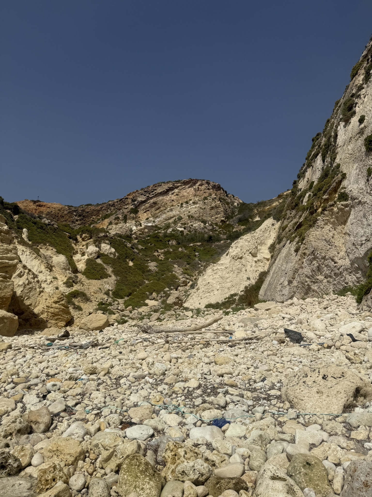
Continuing to Fomm ir-Riħ makes it even more special. Landslides have left the main hiking trail to the bay mostly inaccessible, making an already remote coastline feel even more cut off. That remoteness is exactly why it has always been one of my favourite beaches.

Being able to reach it from the sea feels like a privilege. Ta’ Marija may be the headline attraction, but arriving at Fomm ir-Riħ by kayak is what makes this a route I keep coming back to.

Final take

Two destinations make the route.

Ġnejna to Fomm ir-Riħ via Ta’ Marija combines beach, boathouses, exposed rock, a huge sea cave and one of Malta’s most secluded bays. Ta’ Marija is the checkpoint, Fomm ir-Riħ the turnaround - and the return demands enough energy and good enough conditions for the whole journey.

Route context & further reading

Local kayak guidance, route background and geological context for Ras il-Pellegrin.

Share this post!