The saw
Munxar is an old Maltese word for a saw. Recorded here by the sixteenth century, it probably reflects the headland's sharp, saw-like form.
Munxar to Ħofriet is less about distance than what the sea has done to the limestone.
Malta's south-east coast sits lower than the high western cliffs. Softer, paler rock has been cut into ledges, arches, platforms and rounded coves.
From St Thomas Bay, follow the coast past Munxar Window and Munxar Point to St Peter's Pool, then through Ħofra ż-Żgħira and Ras il-Fenek to Ħofra l-Kbira.
The appeal is the progression: an isolated arch becomes a pale cliff line, open sea gives way to sheltered inlets, and the trail ends at two coves scooped into the coast.
Saw-like headlands, rabbit points, natural pools and holes - the names echo the shape of the coast.
Munxar is an old Maltese word for a saw. Recorded here by the sixteenth century, it probably reflects the headland's sharp, saw-like form.
Ħofriet, the plural of ħofra - a hole or pit - names the two rounded coves: Il-Ħofra l-Kbira, the big cove, and Il-Ħofra ż-Żgħira, the small cove.
Ras il-Fenek literally means 'Rabbit Point' - the narrow headland separating the two Ħofriet.
Officially Peter's Pool, or Il-Bajja ta' Pietru, its rounded sheltered basin and flat limestone shelves explain the “Pool”. The origin of “Peter” is less certain.
The coast is easy to read, but the path is informal. Follow the landmarks and stay back from unstable edges.
From St Thomas Bay, follow the shoreline to Il-Munxar. The window is the first major landmark as the coast becomes more exposed.
Continue around Munxar Point over low garigue, using the cliff line as your guide.
St Peter's Pool breaks the open shoreline before rounded bays lead into Ħofra ż-Żgħira.
Cross Ras il-Fenek between the Ħofriet and finish at Ħofra l-Kbira, where the coast feels more enclosed than at the start.
Retrace the coast, or keep the hike linear and arrange your return from Delimara.
The route stays low, but shade is scarce and some sections pass actively eroding cliff edges.
Plan your return.
The edge matters more than the gradient.
Cool, clear and calm is best.
Simple kit, but little shade.
From open Munxar to the enclosed Ħofriet, the coast keeps changing character.


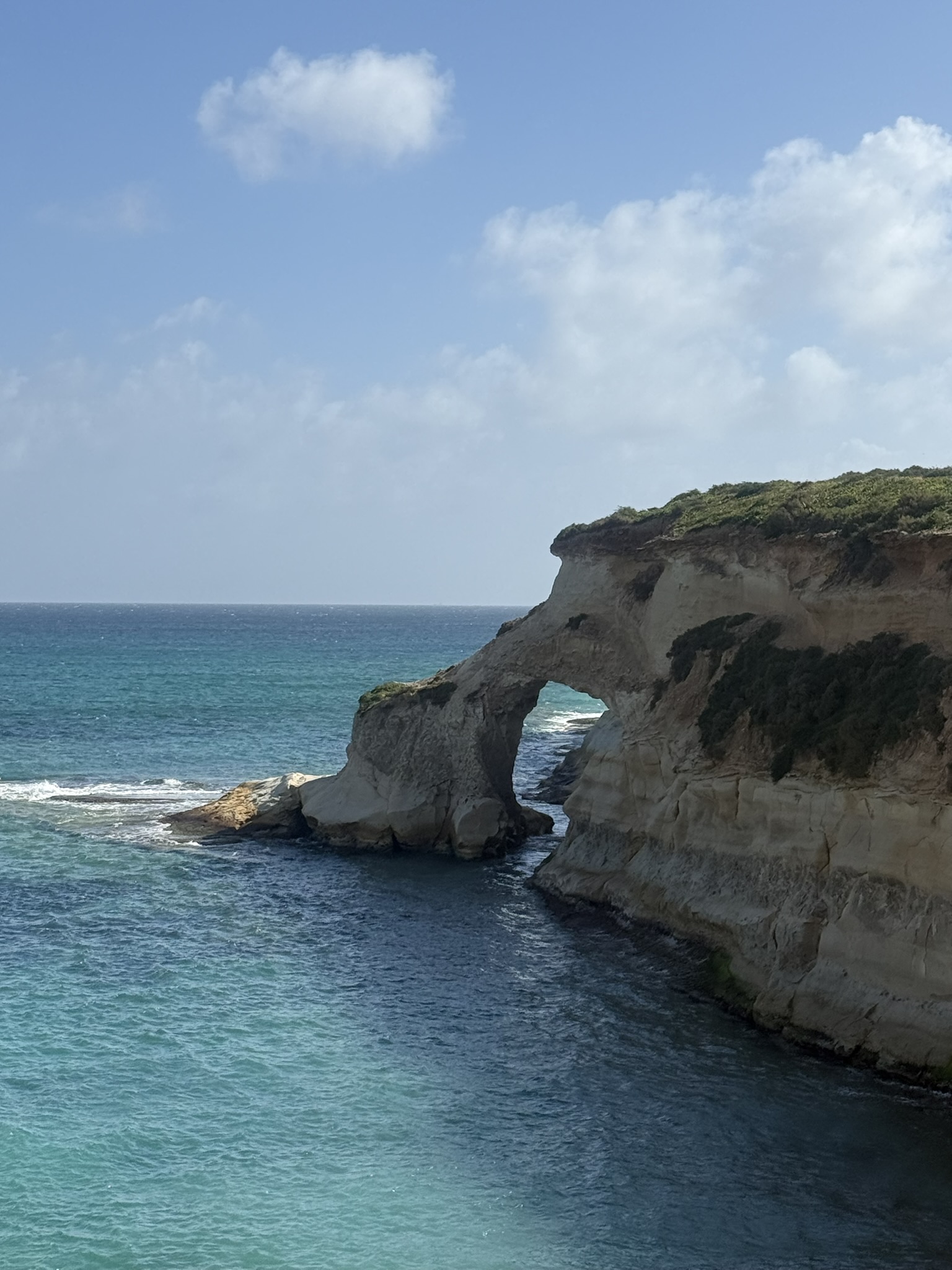


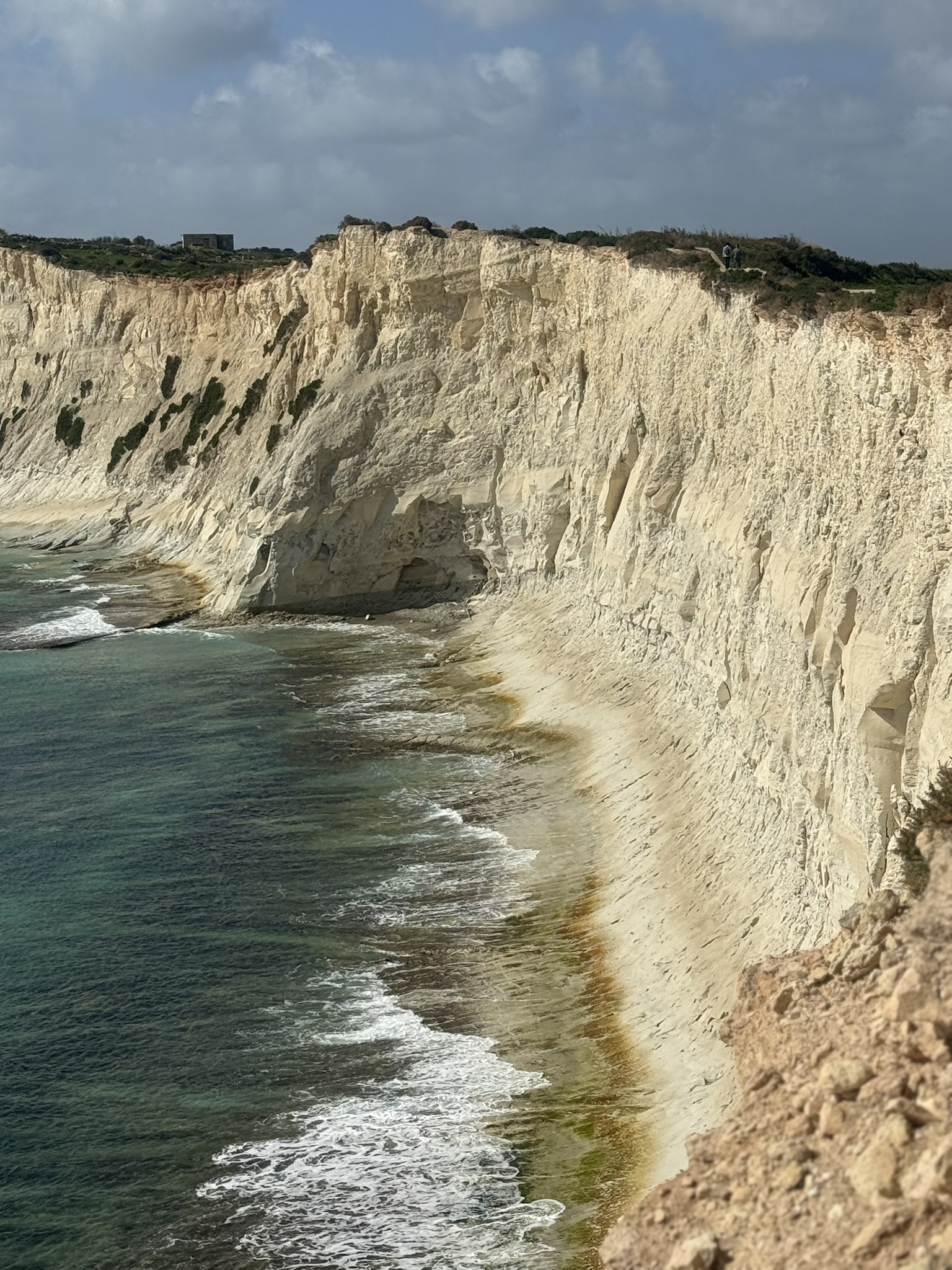


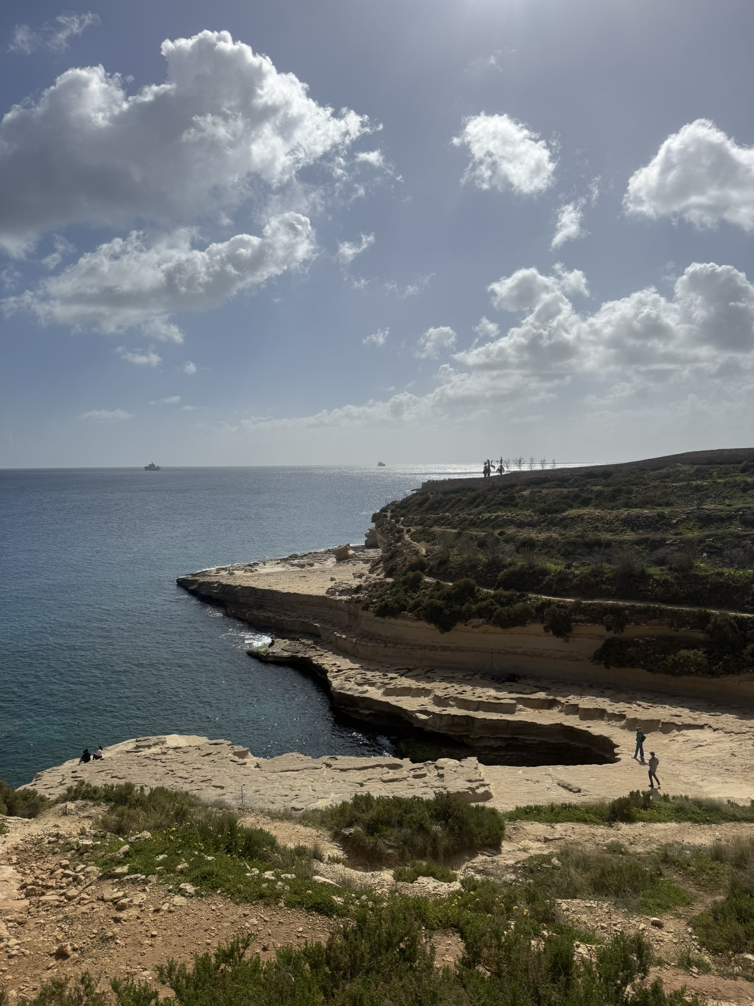


I like how quickly this coast changes while keeping the same geological story. Munxar Window is the obvious landmark, followed by pale cliffs, Munxar Point and St Peter's Pool before the shore folds into the more enclosed Ħofriet. Walking southbound lets that sequence build naturally, with Ħofra l-Kbira feeling like a proper finish.
Malta's geological survey explains the limestone and erosion, while the Munxar Window reference adds landmark context.