Malta · Hiking

The Salt Trail:
From Miġra l-Ferħa to Blata tal-Melħ

A remote, exposed hike across Malta's western cliff line - from the ravine at Miġra l-Ferħa, past Rdum tal-Vigarju and Iż-Żugraga, to the weathered limestone and old salt pans of Blata tal-Melħ.

Distance 9.5 km full loop
Time About 3-4 hours
Difficulty Difficult · exposed
Return Via Baħrija
Malta without guardrails

This is one of the rare Maltese hikes where the landscape feels genuinely remote.

Miġra l-Ferħa sits at the end of a narrow road on Malta's western edge, where a ravine cuts through the plateau to the sea. From the car park, the route heads north across exposed limestone and undeveloped cliffs.

Near Rdum tal-Vigarju, easy plateau walking becomes rougher and more exposed. Avoid it in strong wind, poor visibility or if heights make you uncomfortable.

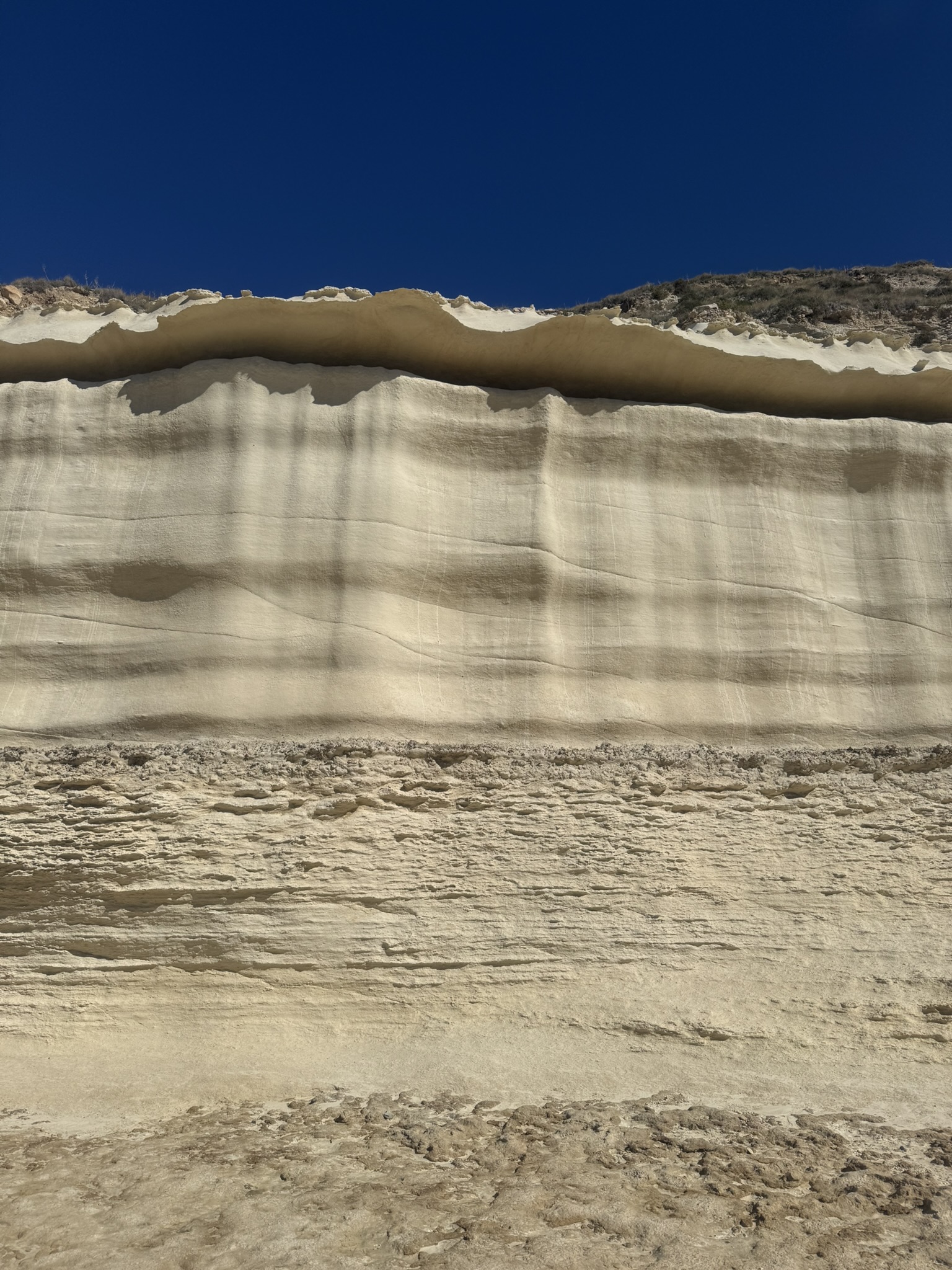
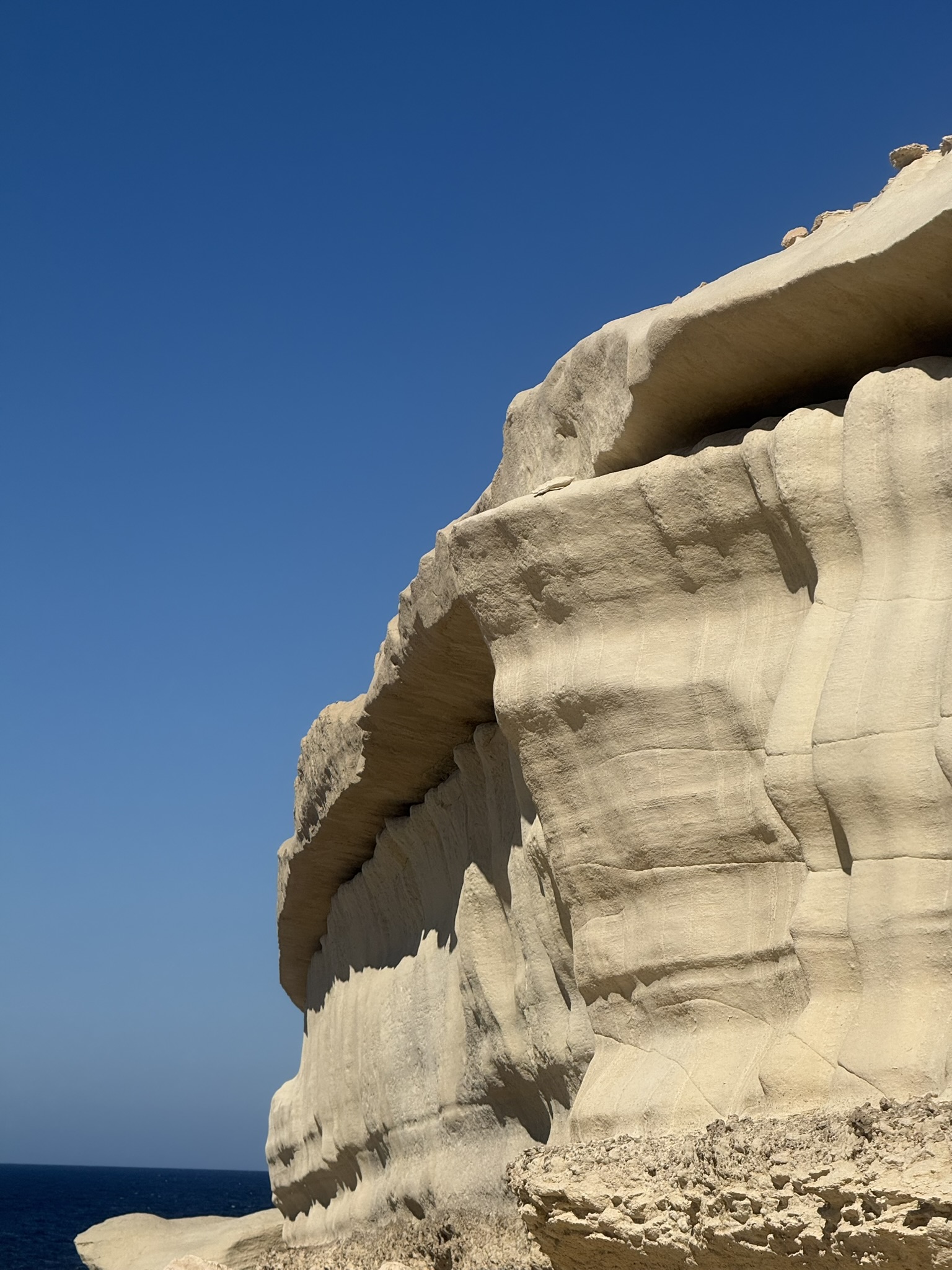
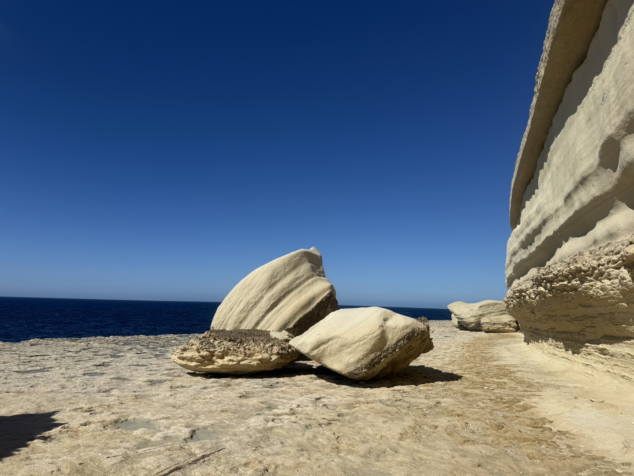
Blata tal-Melħ is the reward: a limestone platform cut by fissures, rock steps and abandoned salt pans, strikingly different from the high cliffs before it.

Etymology

What the names mean

Both names reflect the landscape - one through water and later legend, the other through salt working.

Miġra l-Ferħa

A name wrapped in legend

Miġra means a small stream or watercourse. Later tradition linked the name to Count Roger the Norman's supposed 1091 landing and a 'joyful arrival', though the story is unproven and the inlet is an unlikely army landing site.

Blata tal-Melħ

Literally, 'the Salt Rock'

Blata means slab or rock, while melħ means salt. Pans were cut into the limestone to extend natural evaporation pools; their age is uncertain, but the abandoned pans and rock-cut access preserve the site's salt-working history.

Hike profile

Start
Miġra l-Ferħa
Open start point
Destination
Blata tal-Melħ
Open destination
Full loop
9.5 km
Duration
About 3-4 hours with stops
Difficulty
Difficult · exposed coastal sections
Terrain
Limestone · rough trail · cliff ledges
Elevation
Approx. 330 m gain on full loop
Best season
Autumn to spring · calm, dry weather
The route

A cliff line that gets wilder as you go

This is not an engineered trail. It crosses open limestone and rough cliffs, and the safest line can shift with erosion, vegetation and access.

Recorded trail map

Miġra l-Ferħa → Blata tal-Melħ → Baħrija

This 9.5 km loop follows the coast to Blata tal-Melħ, then returns inland via Baħrija.

Recorded GPS track
START Miġra l-Ferħa COASTAL DESTINATION Blata tal-Melħ

Miġra l-Ferħa → Rdum tal-Vigarju → Iż-Żugraga → Blata tal-Melħ

A schematic overview of the coastal leg rather than turn-by-turn navigation.

Western cliffs · northbound
01
StartMiġra l-Ferħa
02
CliffsOpen plateau
03
ExposureRdum tal-Vigarju
04
LandmarkIż-Żugraga
05
DestinationBlata tal-Melħ

Navigation note: the coastal line is informal and exposed. Use a current offline map or GPX, avoid unstable edges and turn back if the route ahead is unclear or uncomfortable.

01 · Miġra l-Ferħa → Open cliffs

Start above the ravine

Leave Miġra l-Ferħa and head north across the limestone plateau. This is the easiest section, with broad ground, sea views and room to stay well inland from the edge.

02 · Open cliffs → Rdum tal-Vigarju

Where the hike stops being ordinary

The ground soon becomes rougher, with boulders, broken limestone and gullies. Around halfway is a roughly 1.5-metre exposed gap above the sea. Some jump it; others scramble above and descend a steep exposed slope. Neither option is safe, and many turn back.

03 · Rdum tal-Vigarju → Iż-Żugraga

An open-air playground - with real consequences

Beyond the gap are rock-cut steps and a rope-guided ascent. The route becomes hands-on, with scrambling and exposed movement around the cliffs.

04 · Iż-Żugraga → Blata tal-Melħ

The Salt Rock at the end

Blata tal-Melħ appears as a pale platform beneath the cliffs, cut by fissures and abandoned salt pans. Carved steps towards the sea are linked to the old salt workings and boat access below.

Once you reach Blata tal-Melħ

After the exposed middle section, the salt-pan landscape feels like a fitting finale.

From here, arrange a lift, retrace the cliffs, or complete the loop inland via Baħrija. That return avoids repeating the most exposed section and brings the route to roughly 9.5 km.

Why the terrain feels so severe

Limestone, exposure and the sea below

Unlike the soft clay of the Ġnejna route, this hike is defined by hard limestone fractured into ledges, blocks, fissures and shore platforms.

01 · The plateau

Hard ground, very little shelter

Much of the route crosses exposed limestone with little vegetation. Uneven surfaces and sharp edges demand careful foot placement.

02 · The cliff line

Erosion creates the difficulty

Gullies, collapses and broken ledges cut the coast. The challenge is repeatedly finding a secure line beside high cliffs.

03 · Blata tal-Melħ

A sculpted shore platform

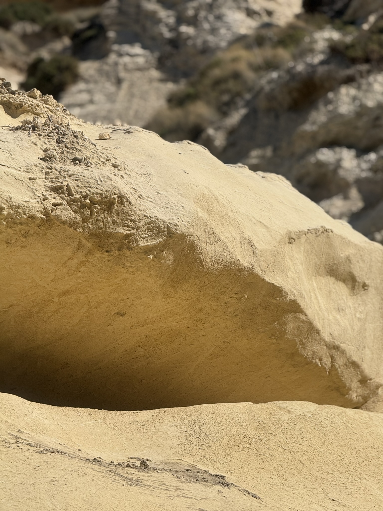
At Blata tal-Melħ, erosion created fissures and undercut formations, while people cut steps and salt pans into the limestone.

Practical guide

Plan around exposure, not kilometres

The distance is modest, but exposure makes it slow.

Choose a topic

Getting there

Choose between a linear finish at Blata and the full loop.

Remote start
  • Start at the Miġra l-Ferħa parking area via the narrow road from the Rabat/Mtaħleb side.
  • If finishing at Blata tal-Melħ, arrange transport - there is no simple coastal road exit.
  • The recorded loop returns via Baħrija, so no second car is needed.
  • Download the route before leaving; do not rely on reception or informal paths.
My experience

The closest thing to proper trekking I have found in Malta

Of all my Malta hikes, this comes closest to proper trekking. You have to think about each move - scrambling over rock, judging exposure, committing to awkward lines and knowing when turning back is sensible.

The gap above the sea is where that feeling peaks. Whether you jump it or take the steep alternative, neither option is forgiving. Add the rock-cut steps, rope-guided ascent and sheer drops, and this feels far more like trekking than a coastal stroll.

That is exactly why I love it. The unmanaged middle section feels raw, exposed and exhilarating - a hike that forces you to stay completely present.

Blata tal-Melħ feels like a proper reward: salt pans, sculpted limestone and real isolation. There is also a prehistoric landmark nearby that gives the finish an almost mystical edge - one I will leave for the trail to reveal.

Final take

One of Malta's wildest cliff walks

Miġra l-Ferħa to Blata tal-Melħ is remote, rough and exposed. In the right conditions, it reveals a rarer Malta: empty cliffs, open sea and a destination that feels genuinely cut off.

Route context & further reading

The embedded route is a recorded Wikiloc loop. Additional historical context comes from sources discussing the Count Roger landing tradition at Miġra l-Ferħa and the abandoned salt pans and rock-cut access at Blata tal-Melħ.

Share this post!