A fortress city begins
Valletta's first stone was laid a year after the Great Siege, while quarrying Mount Sciberras created many of the raw spaces below.
Underground Valletta is not one tunnel but a layered network of spaces carved, adapted and reused as the capital's needs changed.
When Valletta was founded after the Great Siege of 1565, its builders planned below ground as carefully as above. Quarrying Mount Sciberras created cavities that became cellars, wells, cisterns and cesspits, while other passages served storage, movement and defence.
Water and drainage were essential to a fortified city. Centuries later, the Second World War added another layer as older spaces were enlarged and connected into air-raid shelters during Malta's bombing campaign.
The network makes more sense as infrastructure repeatedly repurposed, not as one secret system.
Valletta's first stone was laid a year after the Great Siege, while quarrying Mount Sciberras created many of the raw spaces below.
Cisterns, wells, cesspits and gravity-fed sewers were integrated with storage and military passages beneath the city.
Valletta held extensive public reservoirs, cisterns and private wells. During the French blockade, the aqueduct was cut yet stored underground water remained available.
During the Second World War, existing tunnels and cisterns were expanded into dense civilian shelter networks.
Heritage Malta opened Underground Valletta as a guided visitor experience linking engineering history with wartime sheltering.
Cisterns became shelter routes while older cavities were enlarged, connected or subdivided. One chamber's age or function cannot simply be applied to the next.
The striking part is how many essential urban functions were pushed into the rock below Valletta's streets.

During a siege, Valletta could not rely on an exposed external supply. Wells and cisterns stored rainwater safely within the fortifications.
Drainage used inclined conduits to connect cesspits with main sewers beneath the streets, moving waste towards the sea by gravity and flushing water.
Photo: Ian Noel Pace · Heritage Malta.
Rainwater was stored beneath houses, public spaces and military areas, giving the city a reserve protected from outside disruption.
Inclined conduits linked cesspits to larger sewers beneath the streets - an unusually planned sanitation system for the sixteenth century.
Subterranean spaces also stored grain and served military movement through or out of the fortified city.
During the Second World War, older cavities became communal shelters, with some families using small private cubicles off the main galleries.
Engineering and human history occupy the same rock.
Cisterns, shafts, channels and passages reveal a city planned around water, sanitation and siege.
The reservoirs show how Valletta's architecture above depended on equally deliberate infrastructure below.
Wartime niches, private cubicles and devotional features show people reshaping older infrastructure under pressure.
They turn military history into domestic history - places where families slept, waited, prayed and sought privacy underground.
Because the visit is guided, know what to look for before descending, then watch how the layers overlap.
Visitors currently meet at MUŻA for a briefing before walking to the underground entrance.
Before the war shelters, remember that much of this story began with Valletta's foundation.
The cisterns show most clearly that this was essential infrastructure, not simply hidden space.
The wartime spaces are most powerful when read as temporary homes, not simply bomb-proof rooms.
From rock-cut corridors to shelter rooms, tiled interiors and wartime traces on the walls. Tap any image to open it full-screen.
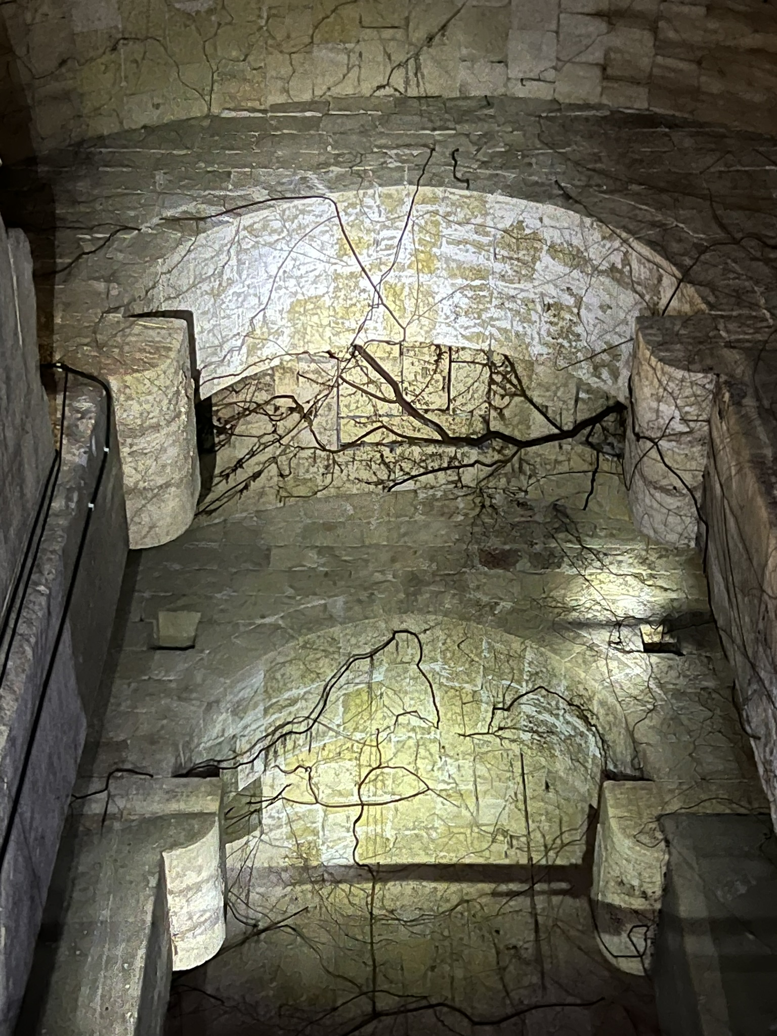


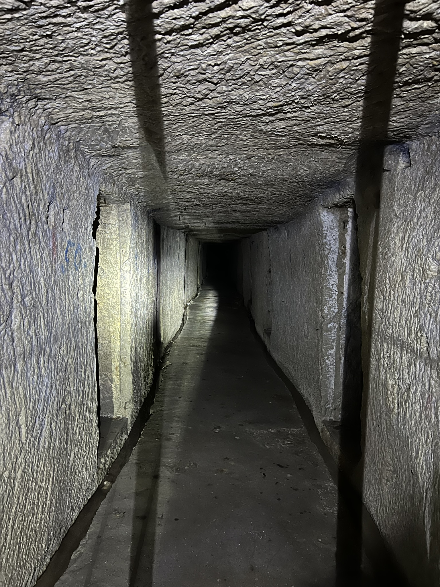


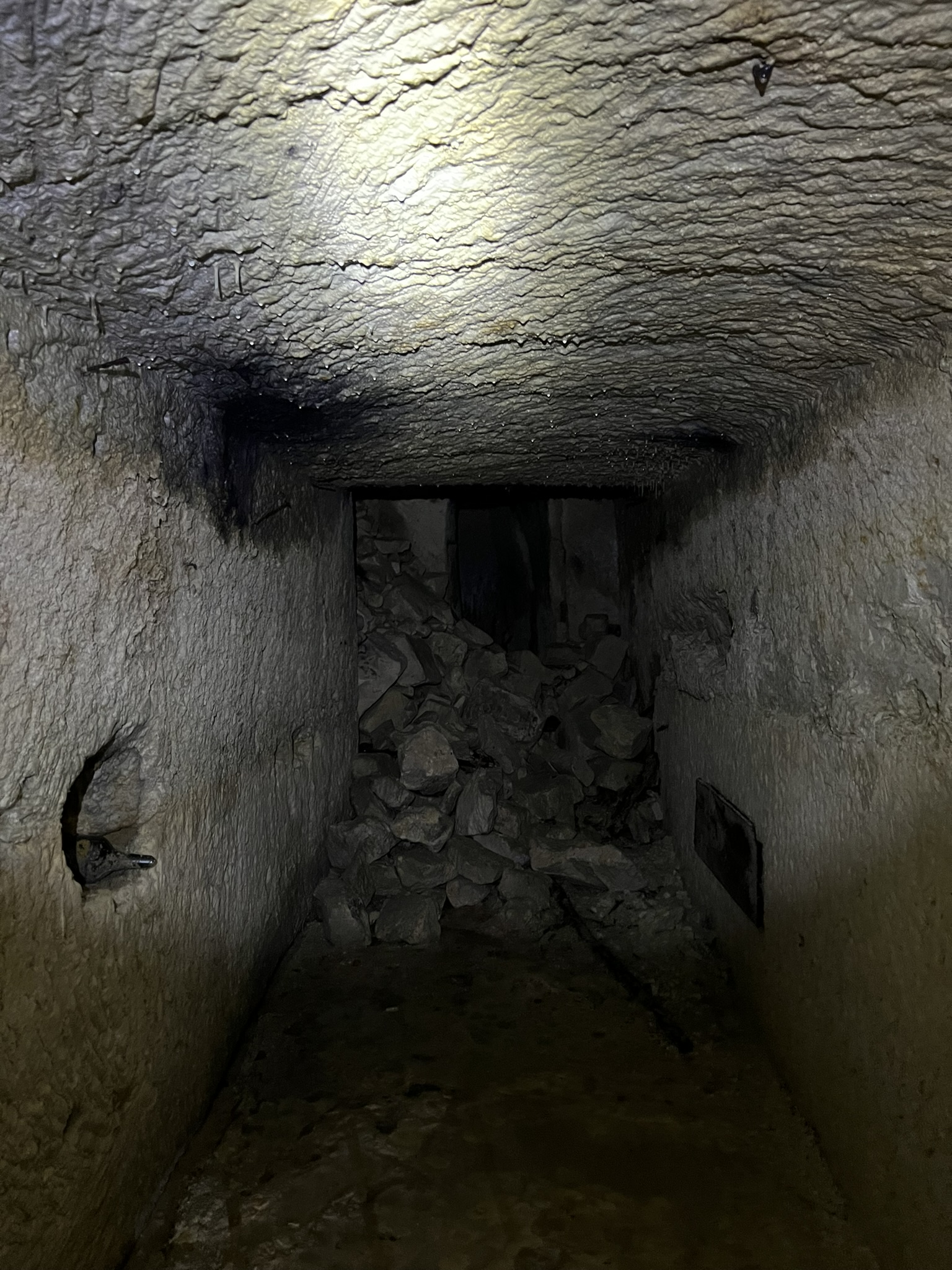
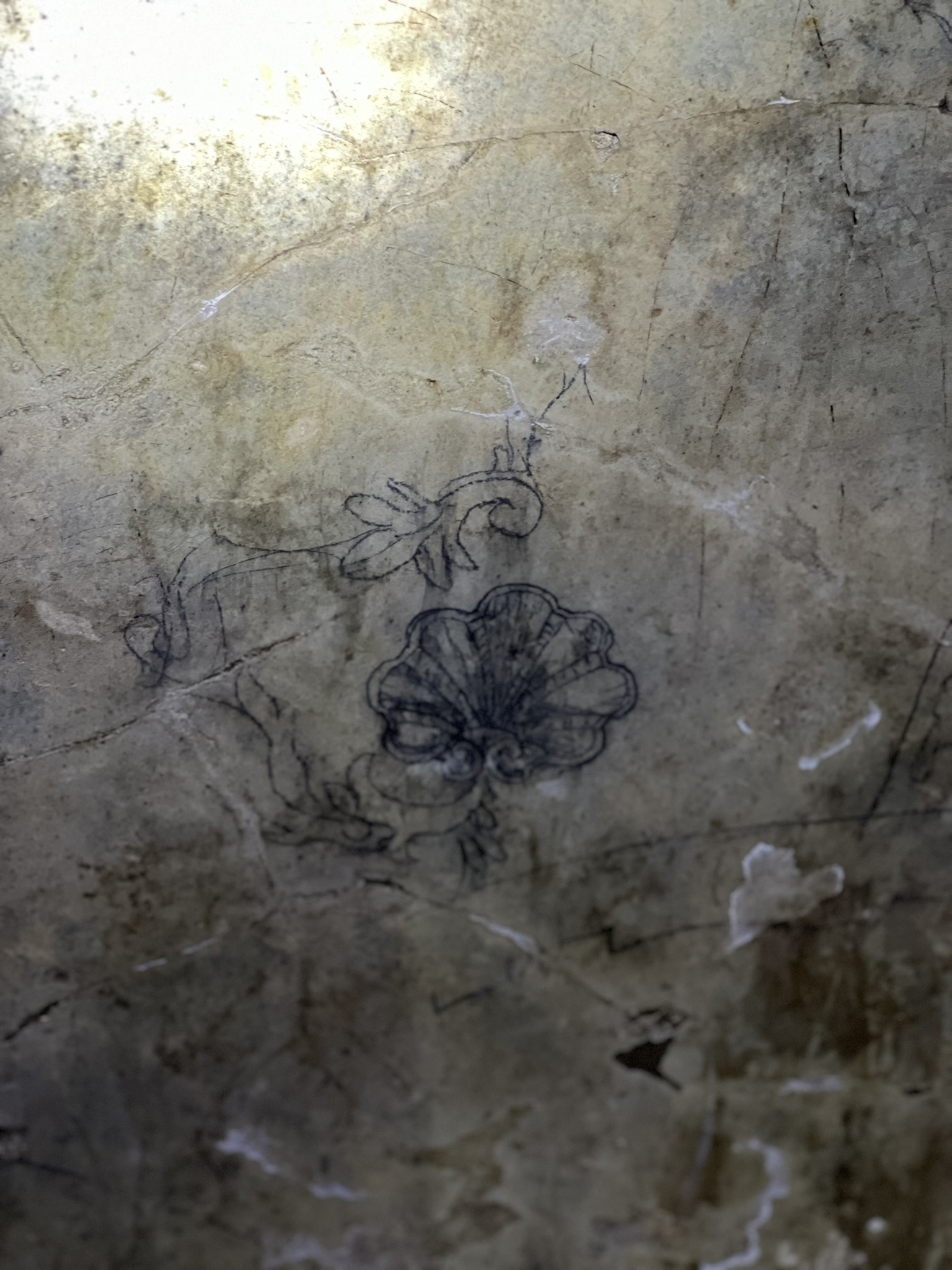


Heritage Malta covers the visitor experience and the reservoirs, sewers, shelters and 1799 blockade; UNESCO provides the wider World Heritage context.