Quito: Latitude Zero
QUITO
Latitude Zero
October 10, 2025
PART I
Still abuzz with my post-Katy Perry Lifetimes Tour high, I hardly noticed the long-haul journey that eventually carried me to Quito, the capital of Ecuador.
Once at the airport, I went through the usual routine: immigration, baggage reclaim, buying a SIM card and then heading outside. As the fresh breeze hit me, I could think of only two things: ‘Finally, I’m back home!’ and ‘Oh crap, I wasn’t prepared for this cold!’ Despite my initial indifference while planning the trip, I could now feel the adrenaline kicking in. I knew it would be amazing, even if I was just doing the same things over and over. And so, I was ready to start this new adventure.
In front of the arrivals, I was met by Jacqueline, a local cab driver from Quito. She asked me where I was from, at which point I gave the perfectly rehearsed speech about Malta that I had delivered a million times during my gap year. I could feel my eyes tearing up. It’s funny how, every time I leave Europe to explore a faraway country with my huge backpack, it feels as though I have picked up exactly where I left off. Once a mochilero, always a mochilero!

A New Plan
On the way to the hotel, Jacqui gave me a briefing of all I could expect from Quito and Ecuador in general.
Perched high in the Andes at about 2,850 metres, she told me that Quito is one of the world’s highest national capitals. The Spanish founded the city in 1534 on the ruins of an Inca settlement, and its historic centre, now a UNESCO World Heritage Site, is known for its remarkably well-preserved colonial architecture, grand churches and cobbled plazas. Surrounded by mountains and volcanoes, Quito offers stunning scenery and rich culture.
As always, I tried to enquire about local life in Ecuador. Jacqui told me that life was generally good, although she felt that public services were now under increasing strain and that families were having to rely more heavily on private education, healthcare and other services when they could afford them. Rising costs were making life increasingly difficult for the middle and lower classes. To make ends meet, many people – much like Jacqui and her husband – had to work more than one job, while grandparents often stepped in to help raise the children. Unfortunately, this was a reality I had encountered often in Latin America, and elsewhere, for that matter.
As we drove on, she also shared a bit about her life. Turns out, she was married and had three kids. She and her husband both worked as cab drivers and tour guides – prompting me to ask for some recommendations. It took a full two minutes for her to come up with a new plan for me. I would visit one of Quito’s most important attractions in the morning, then roam around the city after checking in that afternoon. I was barely out of the airport and already on my way to my first adventure!
PART II
History at Latitude Zero
Our first stop was the Museo de Sitio Intiñan, near the larger Ciudad Mitad del Mundo complex. Both sit roughly 25 kilometres north of central Quito and are commonly bundled together as the Centre of the World. They are close to 0° latitude – though not exactly on the GPS-defined equatorial line.
Here, María would be my tour guide. Before talking science, she told us a bit about the country’s history. Long before the Incas or the Spanish, Ecuador’s story was already unfolding on the Santa Elena Peninsula, where the Las Vegas culture existed from around 8000 to 4600 BCE. Its people were among the earliest known communities in South America to cultivate plants, and their formal burial practices revealed complex ritual traditions. The Valdivia culture emerged later on the same coast, from around 3500 BCE, and became known for its early pottery.
In the late fifteenth century, the Inca Empire expanded northwards under Tupac Yupanqui and later Huayna Capac, bringing administrative systems and helping spread Quechua. Kichwa, the Ecuadorian form of Northern Quechua, did not emerge from one simple moment of cultural fusion. Its spread began under the Incas and continued during Spanish rule, when colonial authorities used Quechua as a common language. Today, Kichwa language, ritual and respect for Pachamama, or Mother Earth, remain important parts of Ecuador’s diverse Indigenous identities.
Following the Spanish conquest, Quito was founded in 1534 and the territory became part of the Real Audiencia of Quito, first within the Viceroyalty of Peru and later the Viceroyalty of New Granada. Indigenous populations were subjected to colonial labour systems and Spanish rule for almost three centuries. The independence campaign culminated in Antonio José de Sucre’s victory at the Battle of Pichincha in 1822. The territory then joined Gran Colombia under Simón Bolívar before becoming the separate Republic of Ecuador in 1830.
The post-colonial era brought cycles of political instability, Church influence and liberal reform, eventually giving rise to modern Ecuador, a nation still balancing its Indigenous heritage, colonial legacy and struggles for social and political change.
Chicha, Tsantsas and Tall Tales
After the brief history lesson, we began our tour inside a recreation of a traditional chichería, a small house where local Indigenous communities made and sold chicha, a fermented maize drink.
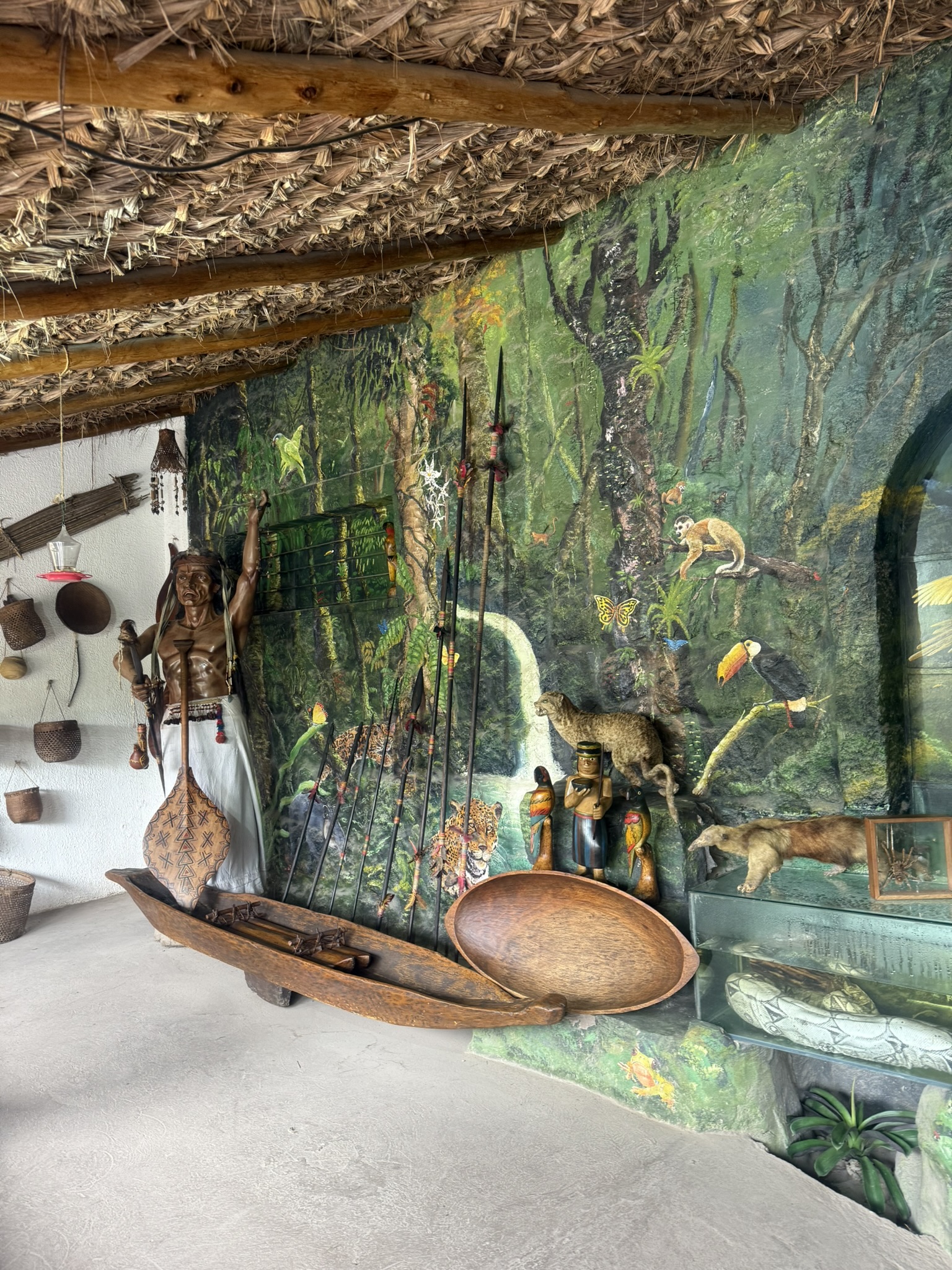
Inside, our guide explained that the three hearthstones symbolised the family unit: father, mother and child. It was over these stones that the chicha was brewed. They also cooked cuy, or guinea pig, and a small pen housed ten of the cute critters. The house itself was built from wood, clay and animal manure – materials that can make these simple structures surprisingly resilient during earthquakes. We were also told that years of cooking smoke helped dry and seal the walls and roof. Upstairs, families stored food and grain.


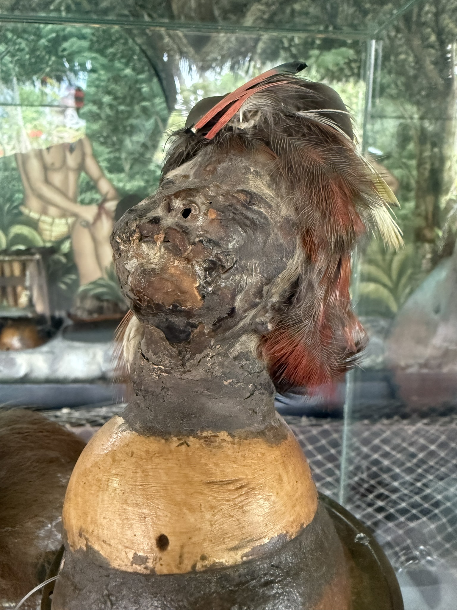
María went on to tell us that indigenous communities can still be found throughout Ecuador, including its Amazon region, which covers around 120,000 square kilometres and contains extraordinary biodiversity. Among its peoples are the Amazonian Kichwa and the Shuar. The Shuar and related Jivaroan peoples historically practised the making of tsantsas, or shrunken heads, from enemies killed in warfare. These, she explained, were not merely grisly trophies. The ritual was intended to restrain the muisak, or avenging spirit of the dead, and was also connected to power and status. The process involved removing the skull, treating and shrinking the skin with hot water, sand and heated stones, and sewing the mouth closed. While the ritual is no longer practised, some of the later replicas were made from animal skin for the tourist trade.
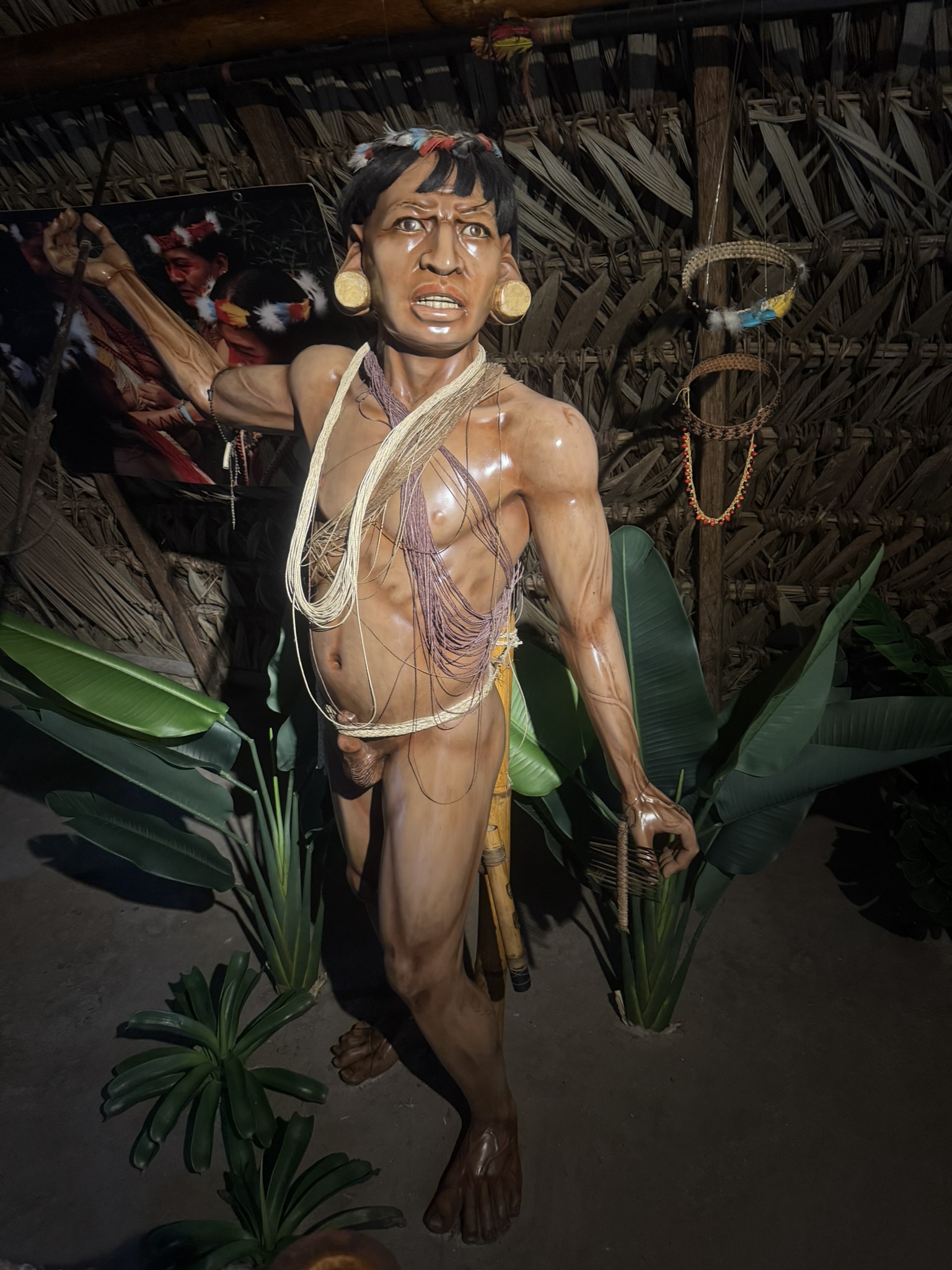
The next display featured a traditional Indigenous longhouse that, according to our guide, could accommodate 15 to 20 people, or roughly four families, sleeping in hammocks. We were shown tools and crafts associated mainly with the Waorani people – most notably blowpipes with darts tipped in curare, bark-fibre skirts and natural-fibre cords tied around the waist and genitals. We were told that the latter offered protection from dangers such as the candiru – the infamous Amazonian fish said to swim upstream into the urethra. (though there’s no solid proof of this ever happening!), But still, good to know!
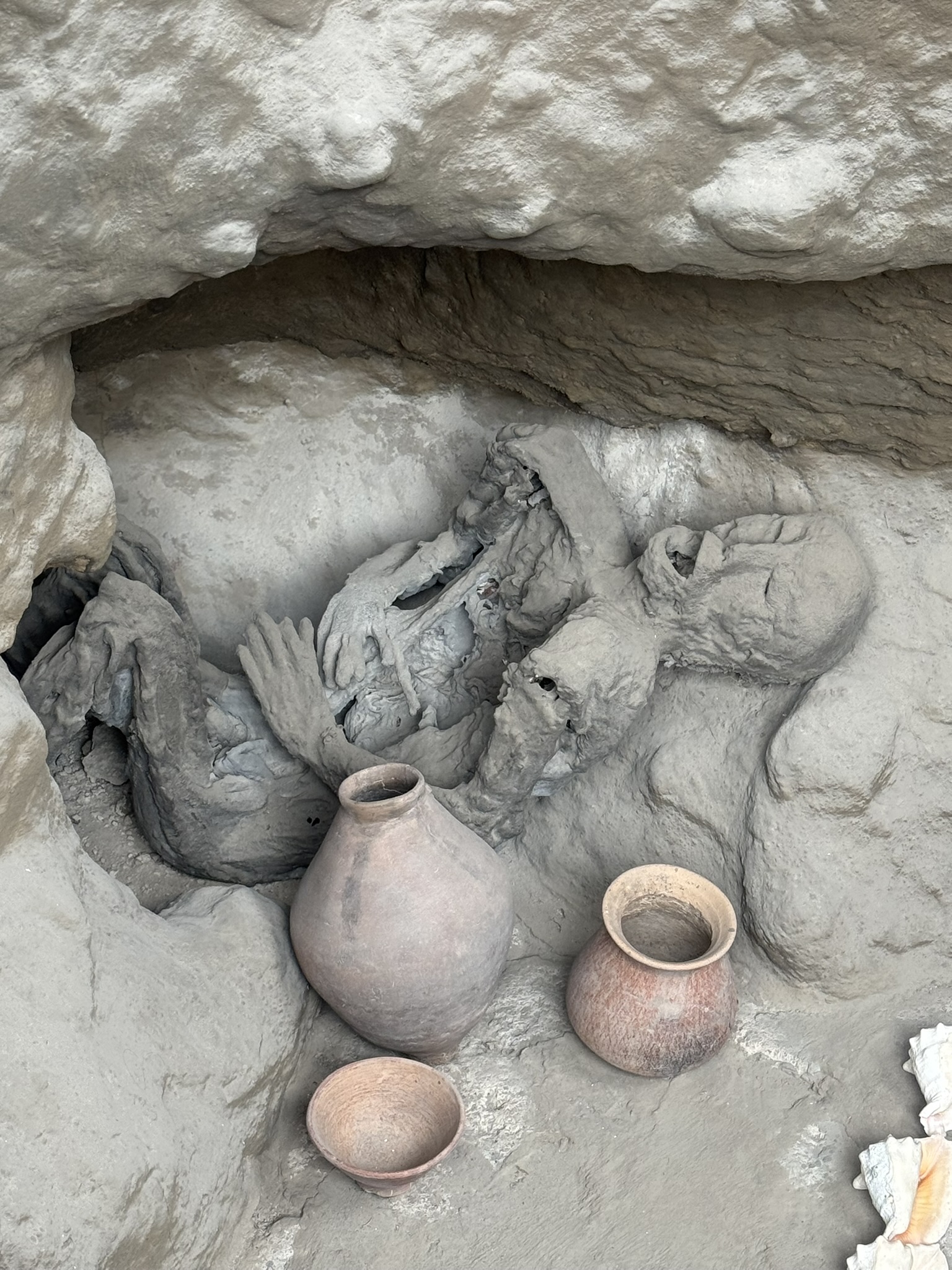
Another highlight was the recreation of a tola funeraria, an ancient burial mound interpreted as the womb of Pachamama. Our guide explained that the dead were sometimes buried in a flexed or foetal position with offerings such as food, tools and Spondylus shells, which were highly valued in ritual and trade. The display even suggested that, in some societies, a living wife might have been drugged and buried alongside her husband. The broader belief presented to us was simple yet profound: death was not the end, but a return to the womb of the Earth in preparation for rebirth.
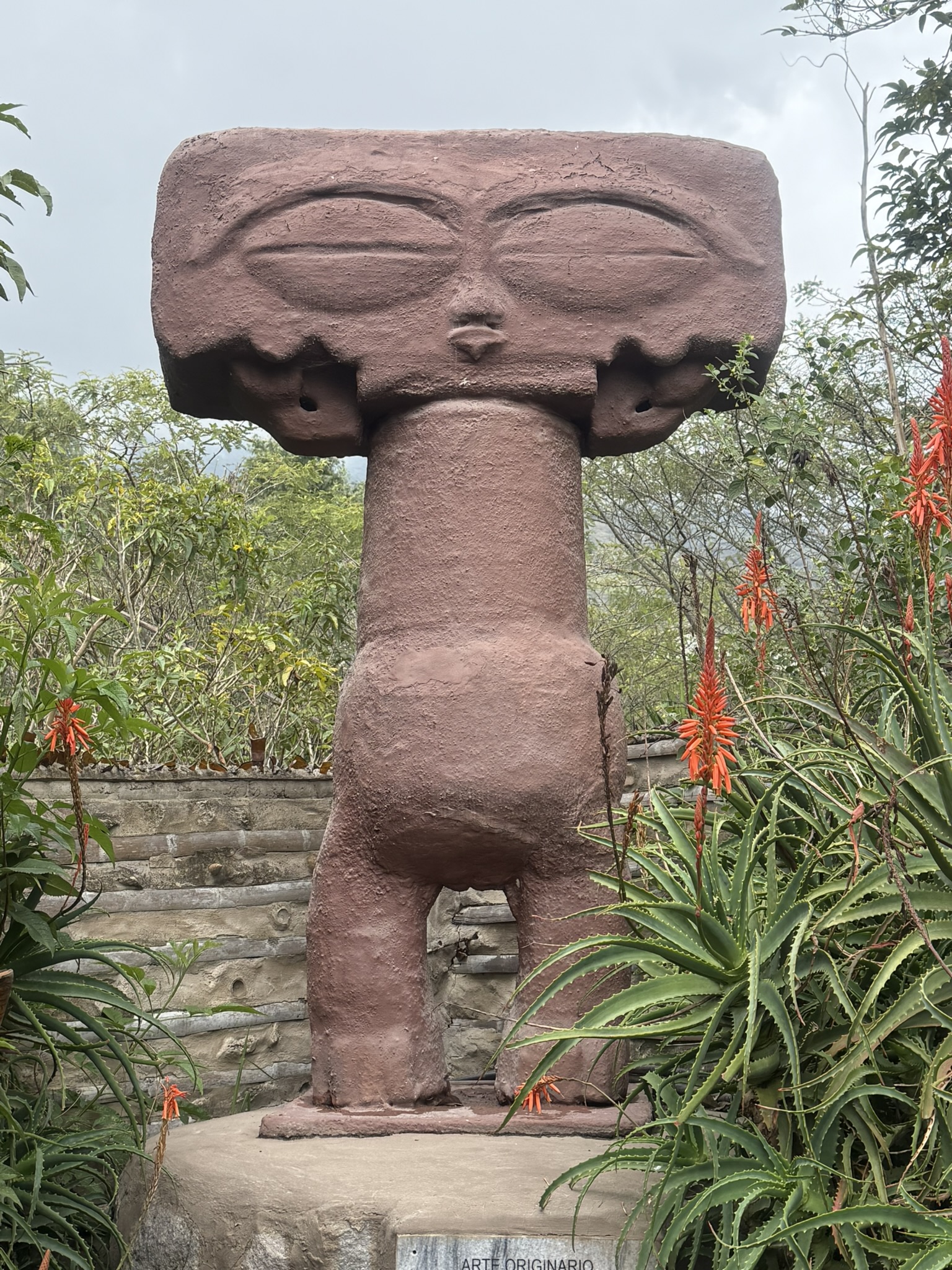

The Circle of Latitude
Then came the scientific part of our tour. María began by explaining some basic geography. The Earth is divided by several imaginary lines that help us understand location and the movement of the Sun:
Equator (0° latitude): Ecuador takes its name from this line. It circles the Earth midway between the North and South Poles, dividing the planet into the Northern and Southern Hemispheres. Around the March and September equinoxes, the Sun passes directly overhead at the Equator. At local solar noon, a vertical object standing precisely on the line can cast almost no shadow. The Equator passes through the land or territorial waters of 13 countries. Ecuador’s distinction is that the line crosses high-altitude Andean terrain, where rapidly changing conditions can make it feel as though there are four seasons in a single day.
Tropics: The Tropic of Cancer, at about 23.5° north, and the Tropic of Capricorn, at about 23.5° south, mark the furthest latitudes at which the Sun can appear directly overhead. They define the tropical zone. The June and December solstices occur when the Sun reaches its northernmost and southernmost positions, producing the longest and shortest days of the year depending on the hemisphere. At the Equator, daylight remains close to 12 hours throughout the year and seasonal temperature changes are relatively small, although rainfall and altitude create marked local seasons.
Greenwich Meridian (0° longitude): This line runs between the North and South Poles through Greenwich in London. It divides the Earth into the Eastern and Western Hemispheres.
Together, these lines form the framework of Earth’s coordinate system, a sort of invisible grid that helps us map the planet and understand how sunlight shifts throughout the year.

The Science Behind the Equator
After the brief introduction, María then led us to the famous Ciudad Mitad del Mundo monument, which stands about 22 kilometres north of central Quito.
This, she told us, was built between 1979 and 1982, and it commemorates the French Geodesic Mission of 1736, whose scientists measured an arc of the meridian near the Equator and compared their results with measurements made farther north. Their work helped confirm that Earth is an oblate spheroid, slightly wider around the Equator and flattened at the poles. Pre-Hispanic societies had also observed the equatorial sky and tracked solar movements long before the Europeans arrived. Still, modern GPS shows that the monument’s painted line sits about 240 metres south of the actual Equator.


Here, María took the opportunity to talk about the science behind the equator. She started off with the Coriolis effect – the apparent deflection of moving air, water, or objects caused by Earth’s rotation. Motion curves to the right in the Northern Hemisphere and to the left in the Southern Hemisphere, helping shape global winds and ocean currents. Turns out, this is zero at the Equator – which means it’s too weak to organise tropical cyclones, which is why such storms do not normally form within about five degrees of the line. She also performed the famous basin demonstration, in which water supposedly swirls in different directions on either side of the Equator. This, I had been warned, is not but tourist theatre given that the Coriolis effect is far too weak to determine how water drains from a small portable basin!
What is real, though, is the small difference in gravity. At sea level, gravitational acceleration is roughly 0.5% lower at the Equator than at the poles because of Earth’s rotation and equatorial bulge. Altitude reduces it slightly further. With Mitad del Mundo standing at roughly 2,500 metres above sea level, this would be the perfect location to test it out. In fact, María demonstrated the supposed gravity difference by having someone push down on our hands. It was considerably easier while standing on the marked equatorial line. Once again, that trick was more likely down to posture, leverage and a bit of showmanship. We were also expected to balance an egg upright on a nail – and while it’s a fun experiment, with enough patience, it can be done anywhere!
To finish off, María told us about the Quitsato Sundial near Cayambe, around 47 kilometres north of Quito. Built directly on the Equator, its massive circular platform and central gnomon act as a solar clock and calendar. During the equinoxes, the midday Sun can cast almost no shadow from a vertical object. Throughout the year, the direction and length of the gnomon’s shadow mark time and the changing solar seasons, reflecting astronomical knowledge that existed in the region long before the Spanish arrived.
PART III
Into the Clouds
After the tour, Jacqui drove me to Pululahua Geobotanical Reserve. While it could take hours to explore the area properly, her idea was simply to show me a viewpoint with a stunning vista. If I liked it, I could always go back.
Well, I cannot quite say I liked it, on account of the weather suddenly changing on us. The view disappeared beneath fog and cloud, and heavy rain began to fall. One might assume that I would have got used to bad weather after travelling for so long in Central America, though one would be wrong. With everything suddenly cold and dreary and the rain unremitting, I realised how severely unprepared I was for this trip. Of course, I had barely had time to look into the logistics, so I had packed the same get-up I had used to explore Central America during hurricane season, assuming it would be ready for anything. It was not.

On our way to a museum, which had an obscenely long queue and which I therefore decided to skip, we stopped for choclos: boiled corncobs topped with mayonnaise, salsa and a sort of beef broth. They tasted heavenly, mostly on account of how famished I was by that point. For a proper lunch, Jacqui then took me to a local joint where we had fritada, a dish of fried pork served with salad and boiled corn.
Quito in the Rain
Feeling exhausted after an entire day of travelling, a full morning of touring and the resulting food coma, I decided to head to my hotel for some respite. I bid Jacqui adiós, checked into my fancy hotel, which was justified by all the hostels I would be staying in thereafter, and had an angelic nap that restored my faculties, both physical and mental. Although I was now re-energised and ready to go, the ongoing storm was a bit of a deterrent. Then again, knowing my time in Quito would be limited at best, I decided to brave the torrential downpour and headed out.
The hotel staff hooked me up with another cab driver, who took me to the Basílica del Voto Nacional, one of Quito’s most iconic landmarks and a masterpiece of Neo-Gothic architecture. The project was conceived in the 1880s, and its first stone was laid in 1892. It remains technically unfinished, with local legend claiming that the world will end when it is finally completed. Its soaring towers and intricate stone carvings dominate the historic cityscape, while its gargoyles take the form of native Ecuadorian animals such as iguanas, tortoises and armadillos.
With the rain showing no sign of stopping, I gave up on climbing the tower that would have offered a panoramic view of the city. Instead, I headed below the church, where the crypt contains rows of marble-fronted tombs. A separate adjoining National Pantheon is reserved for Ecuadorian heads of state, and several former presidents are buried there.
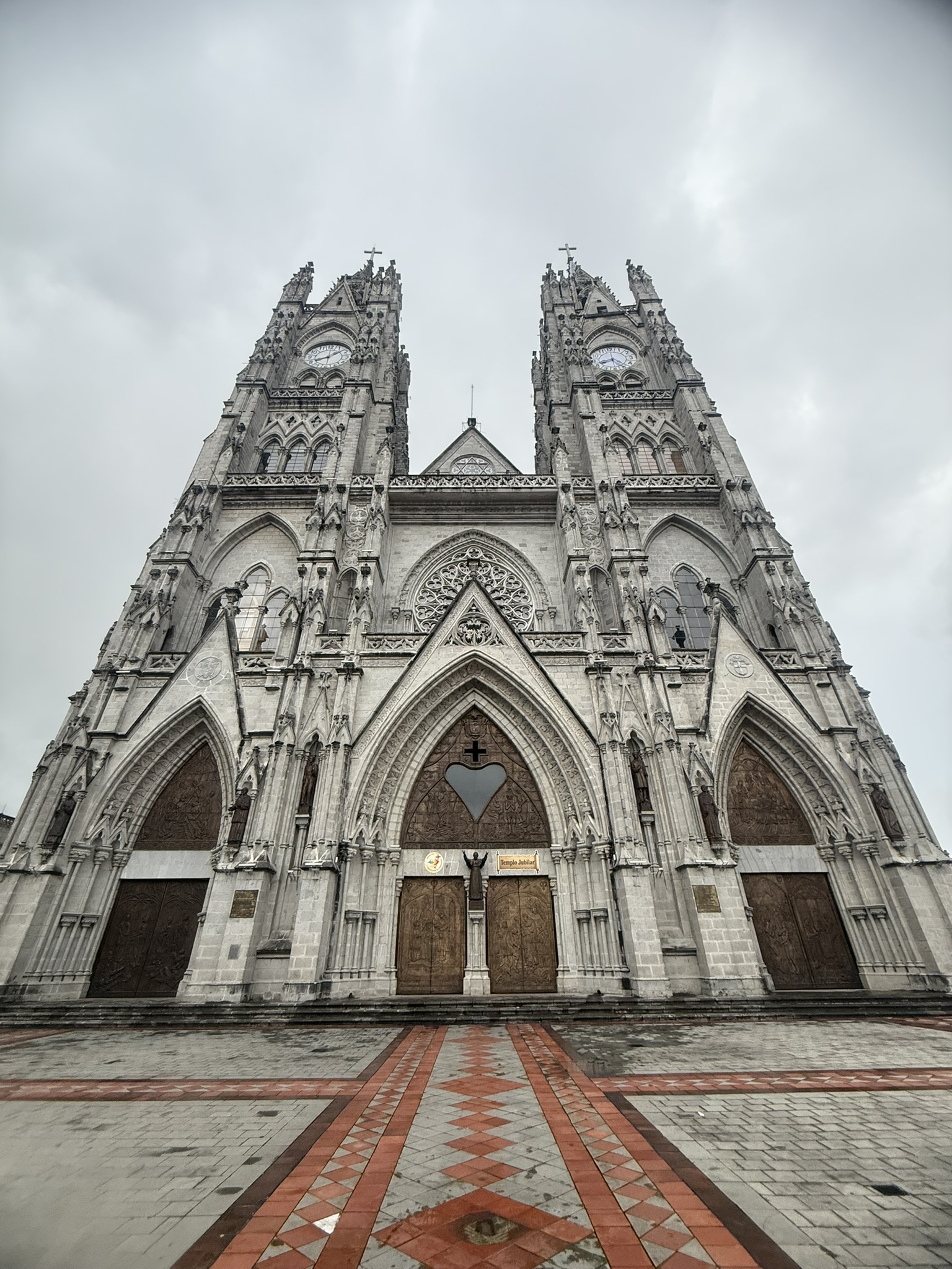
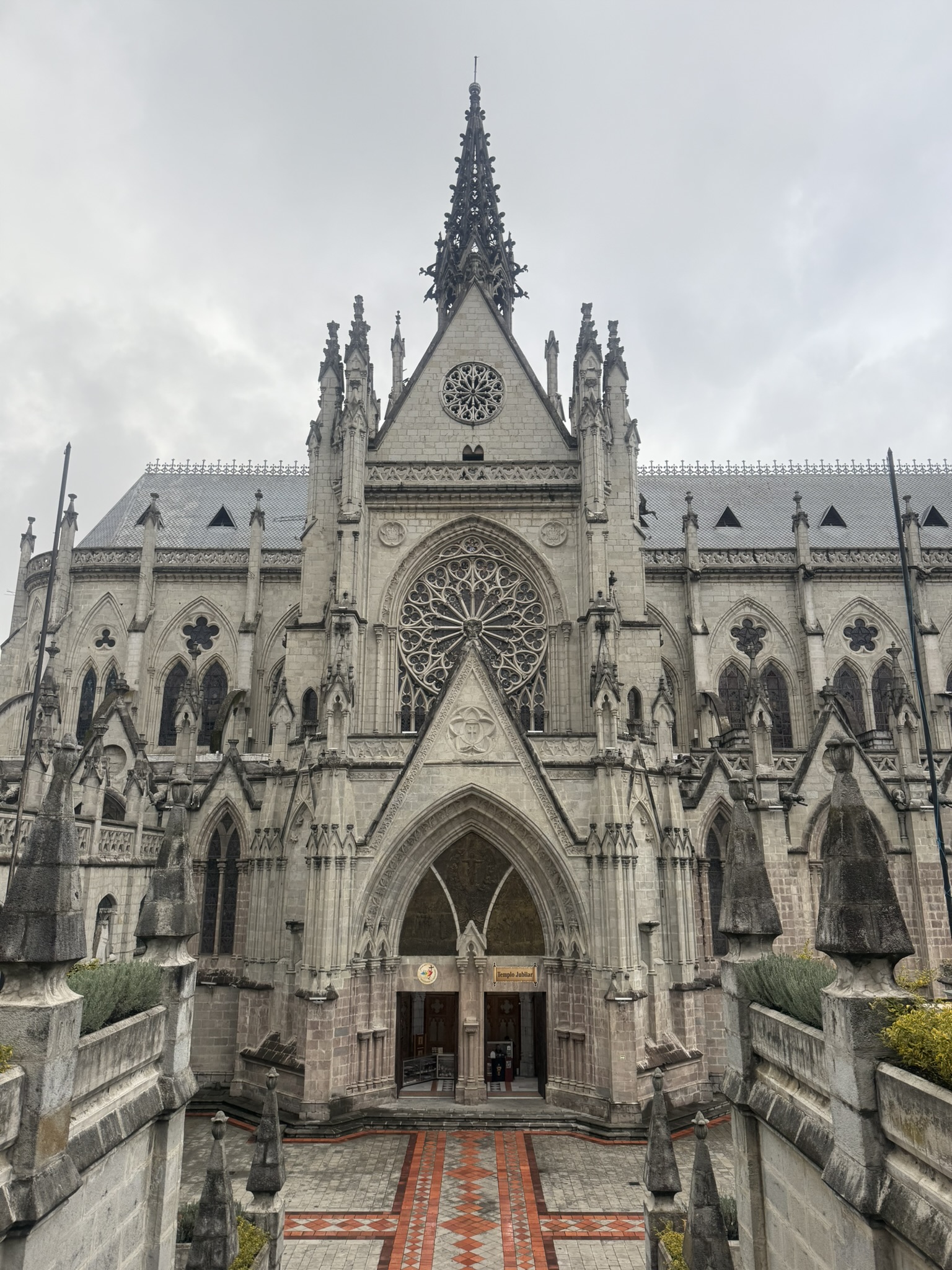
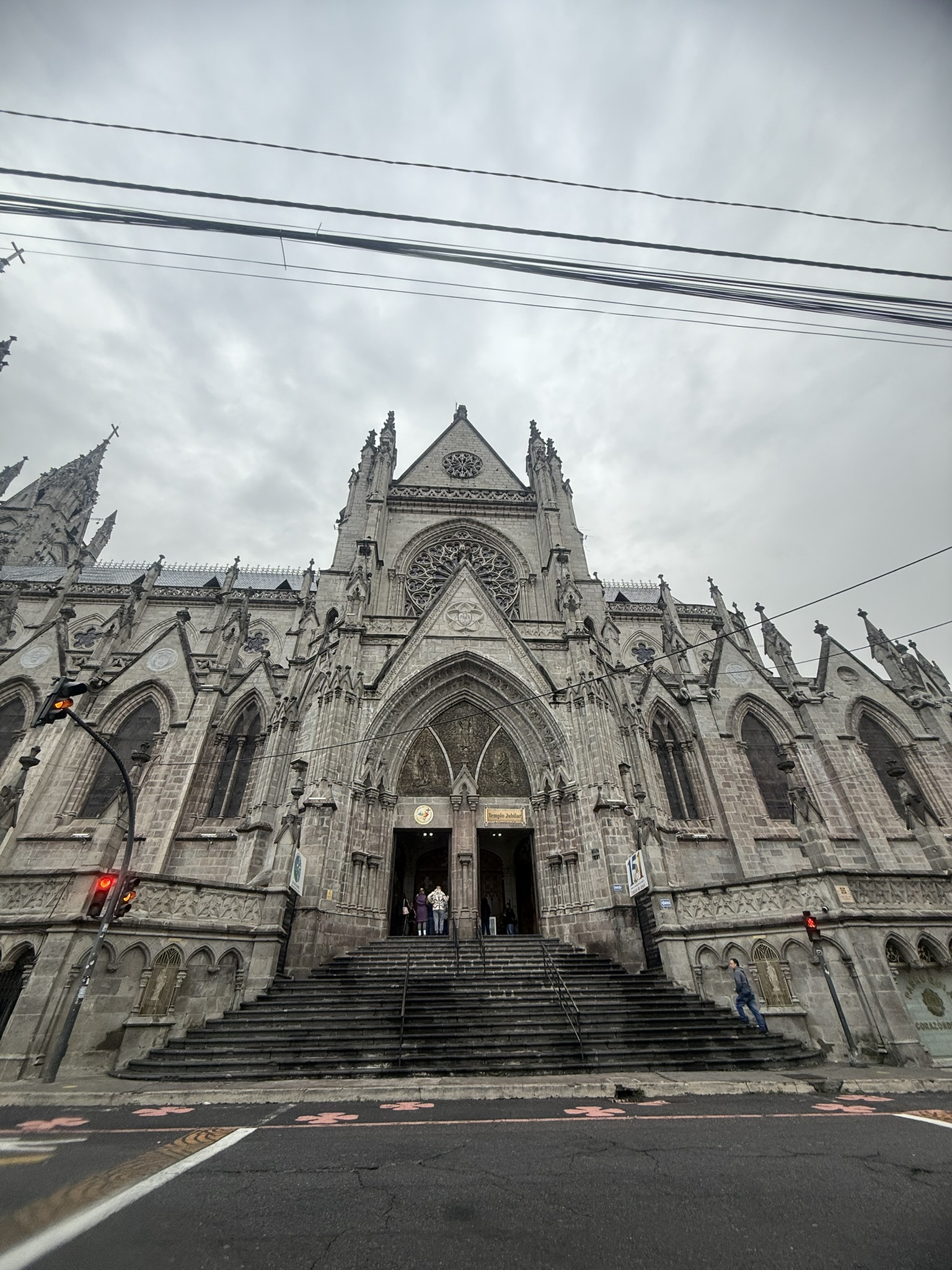
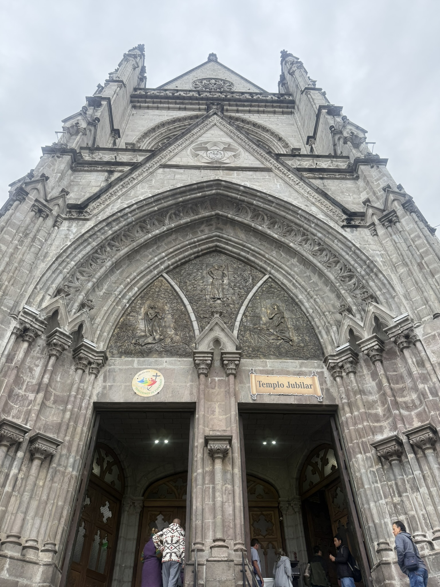
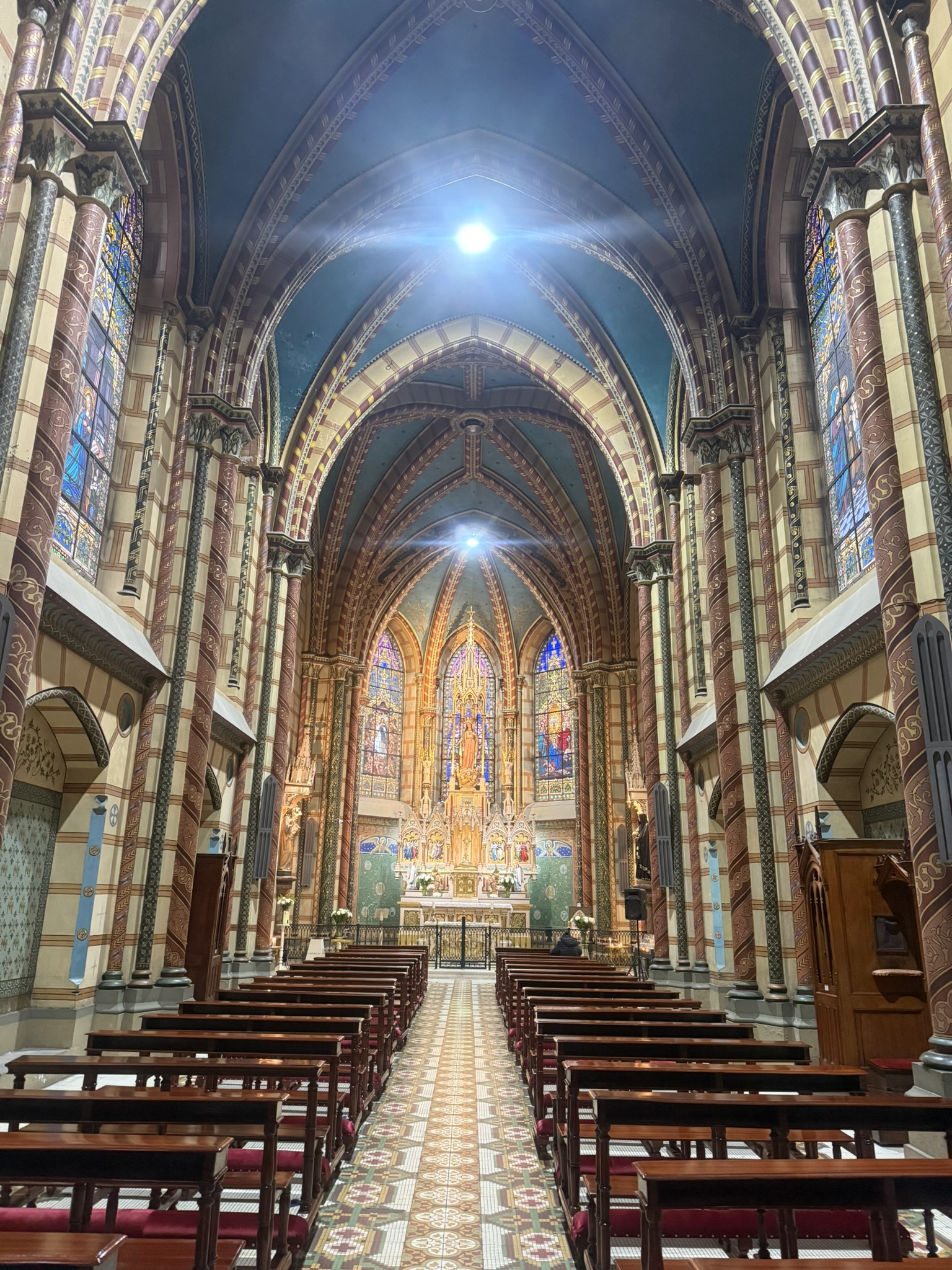
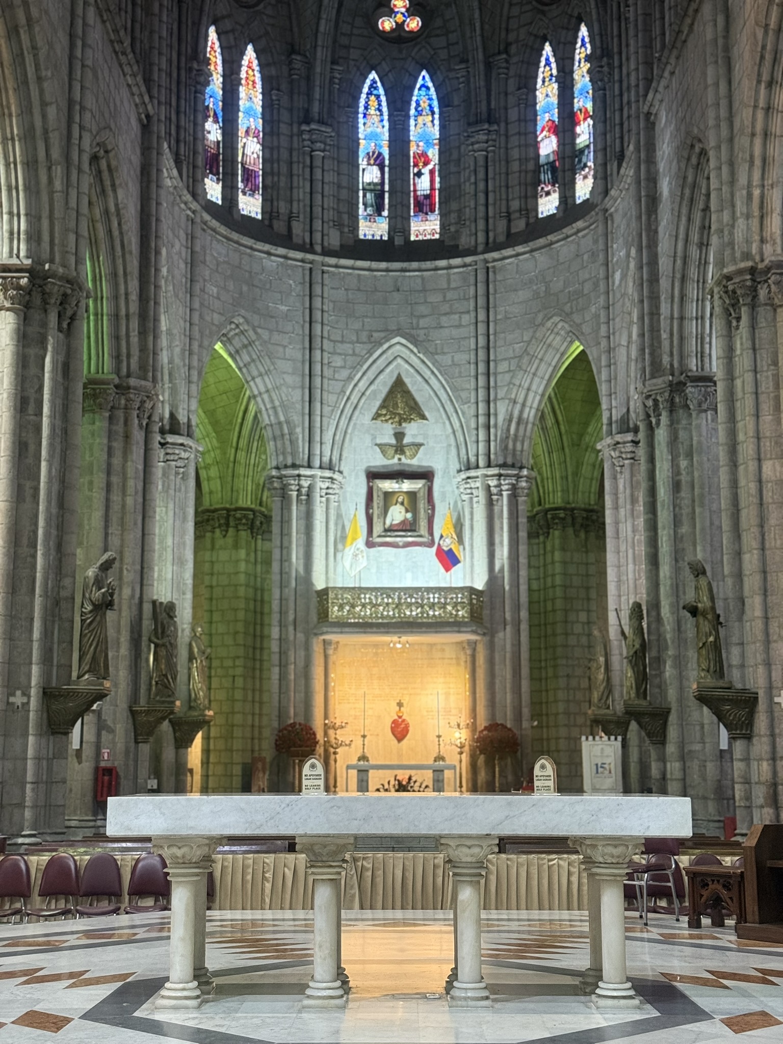
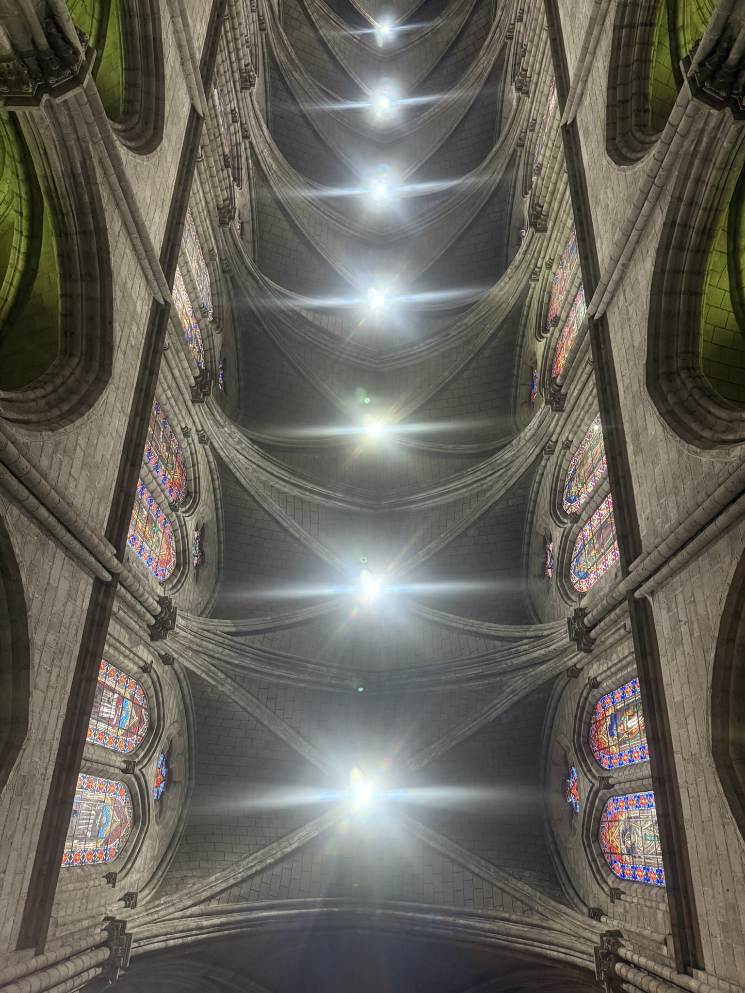
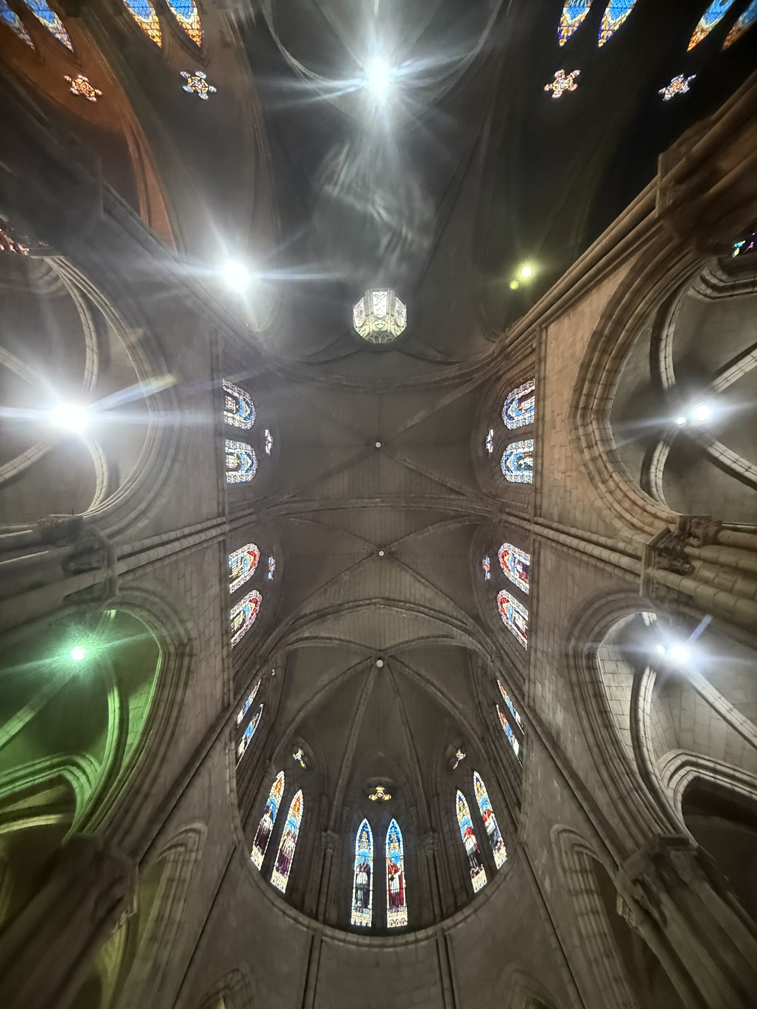
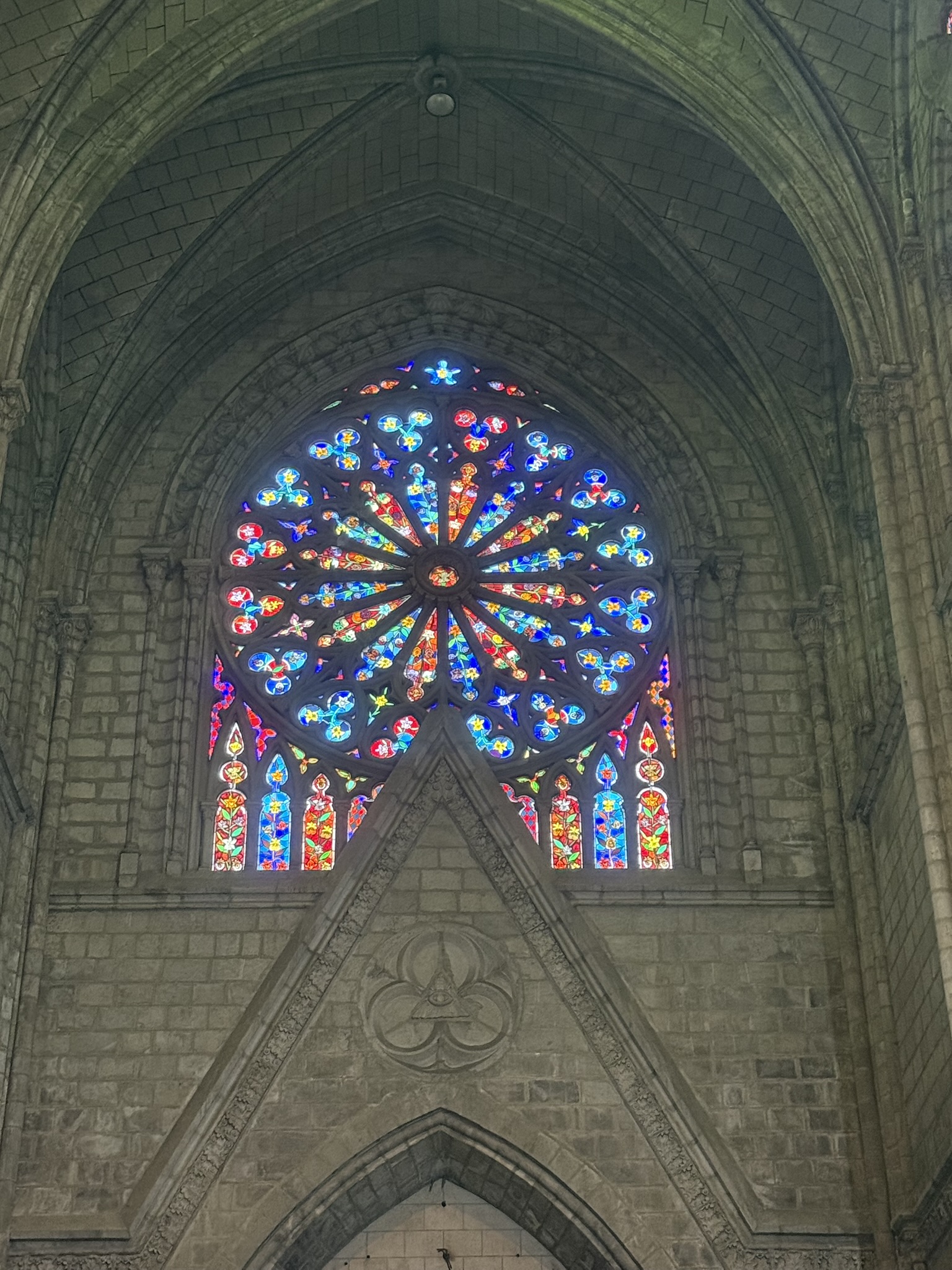
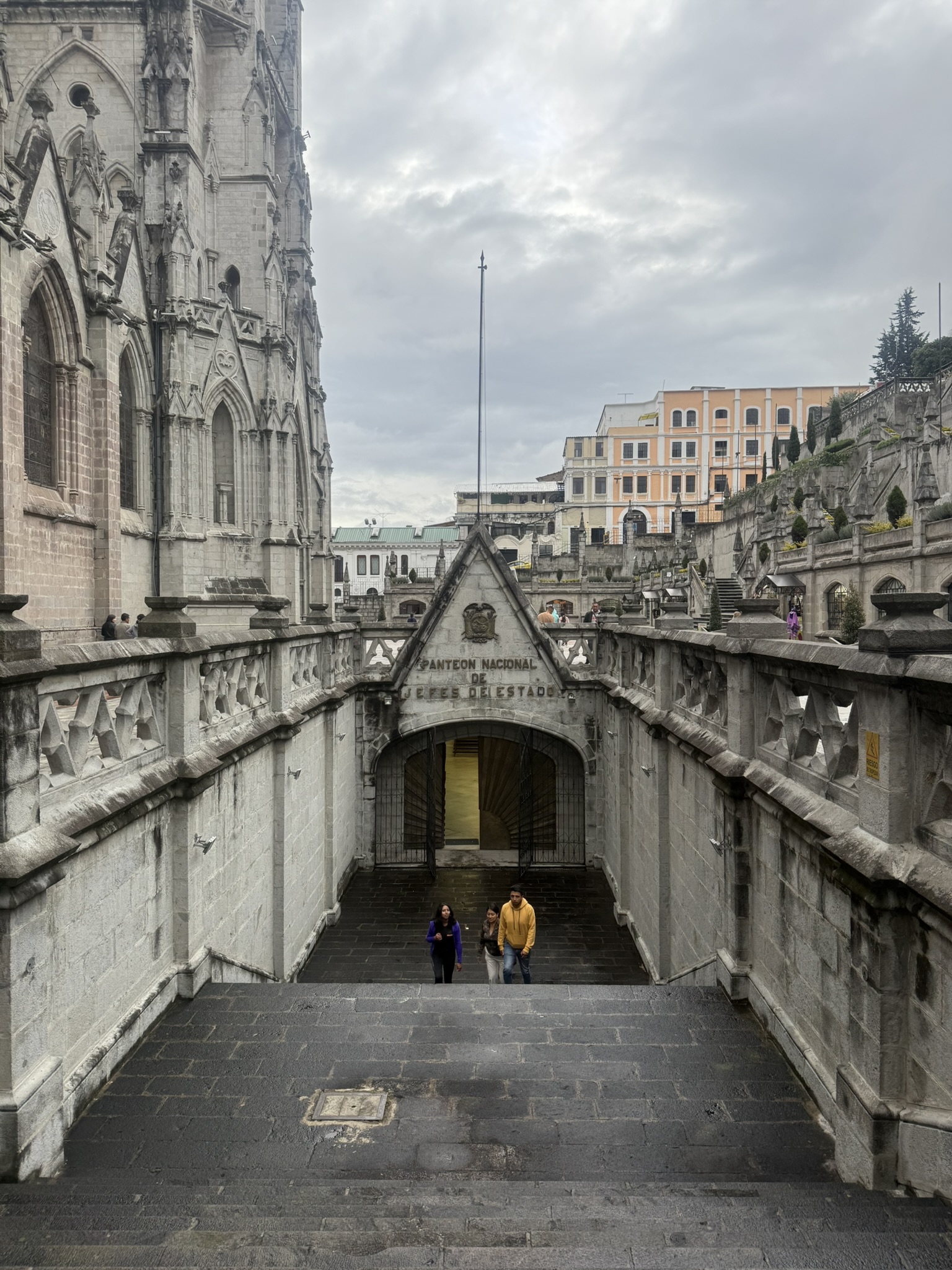
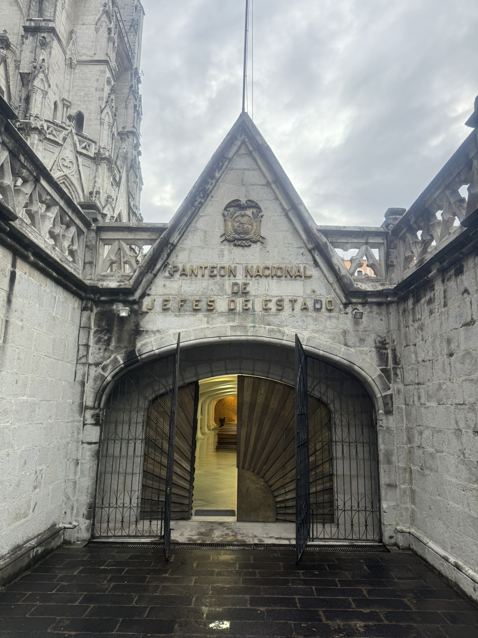
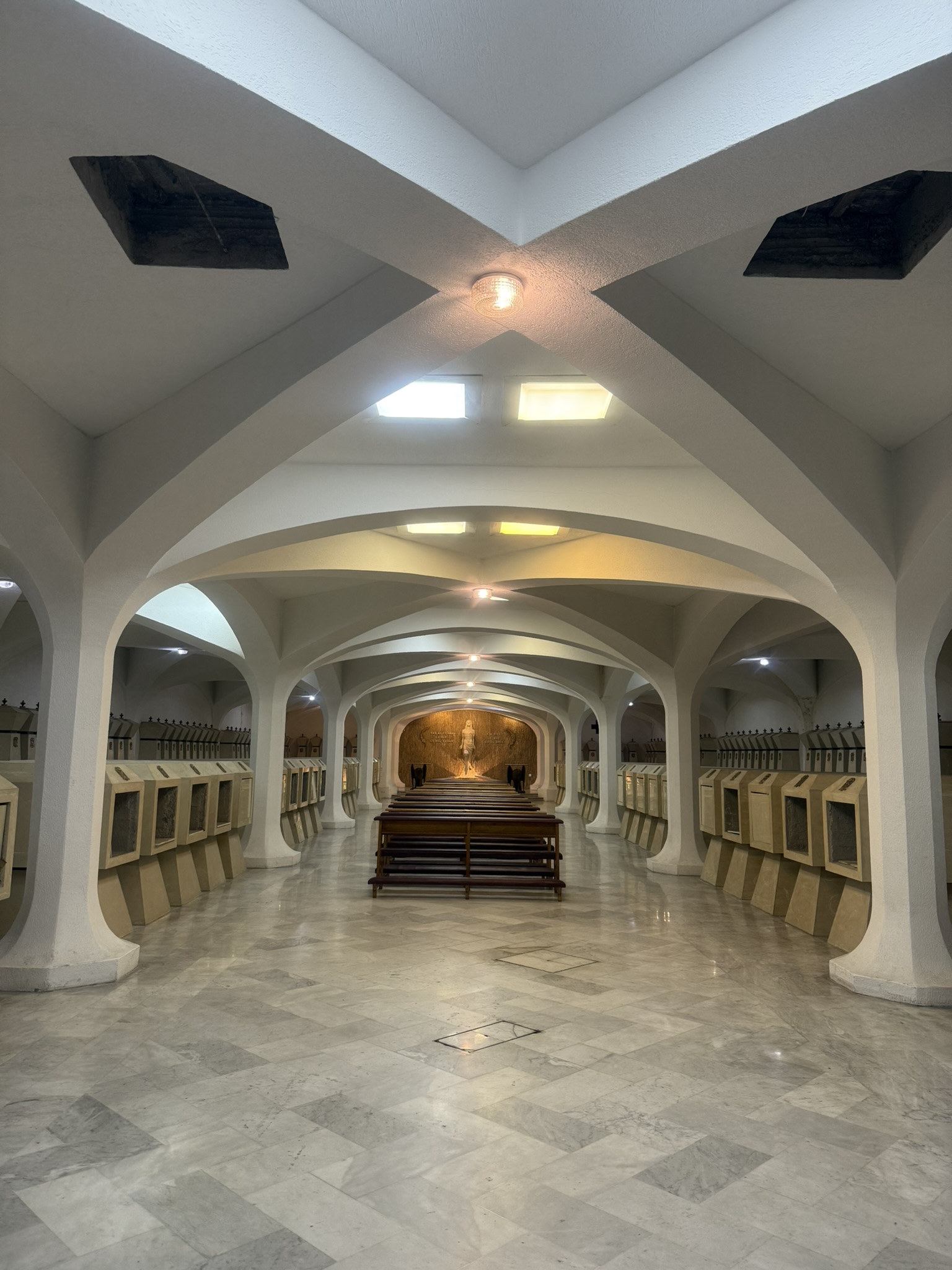
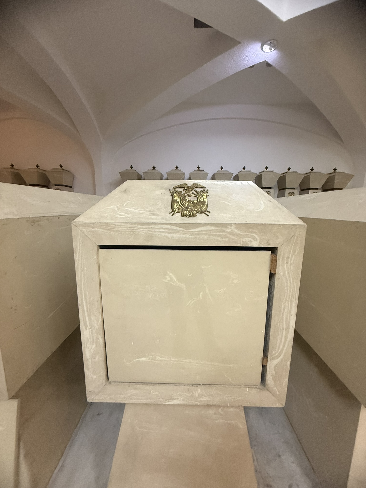
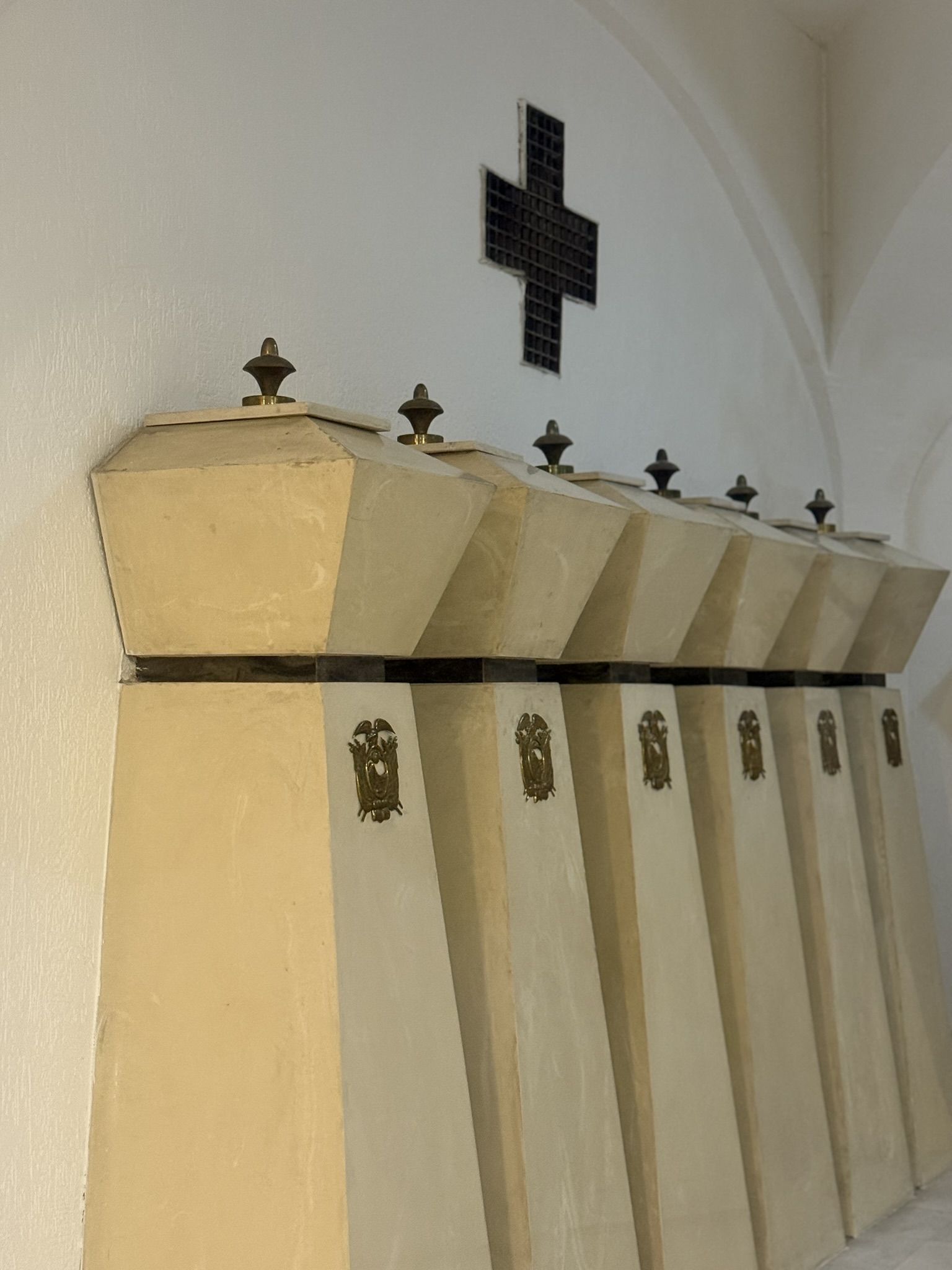
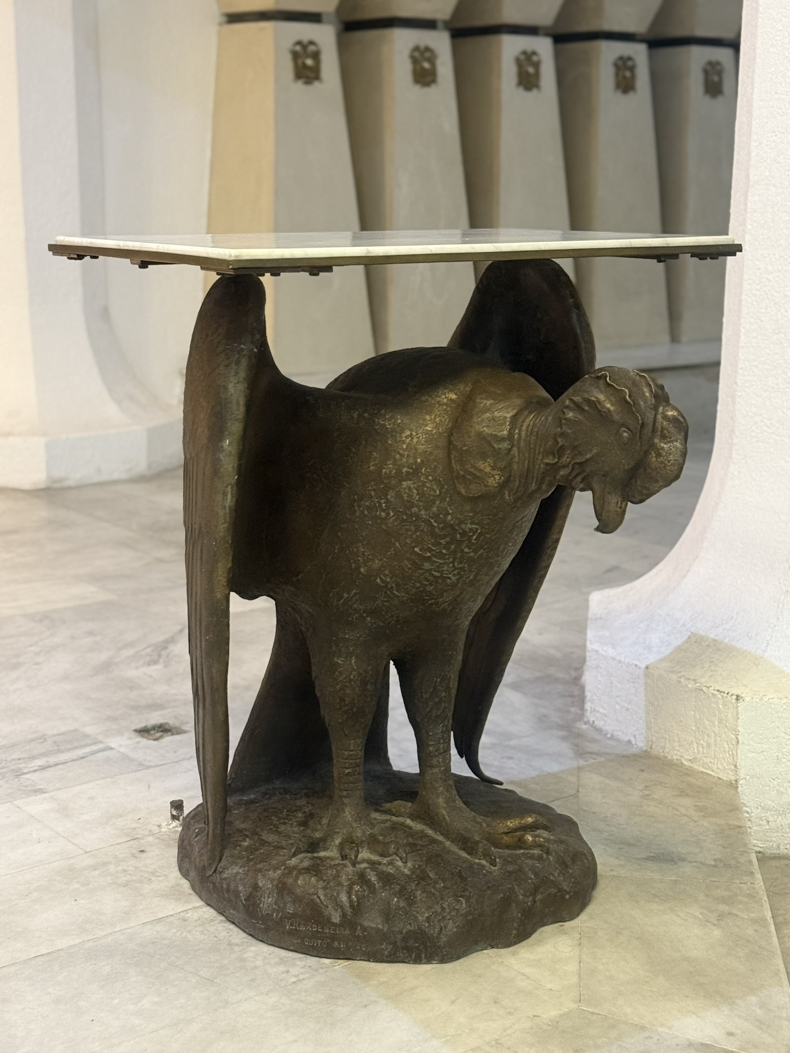
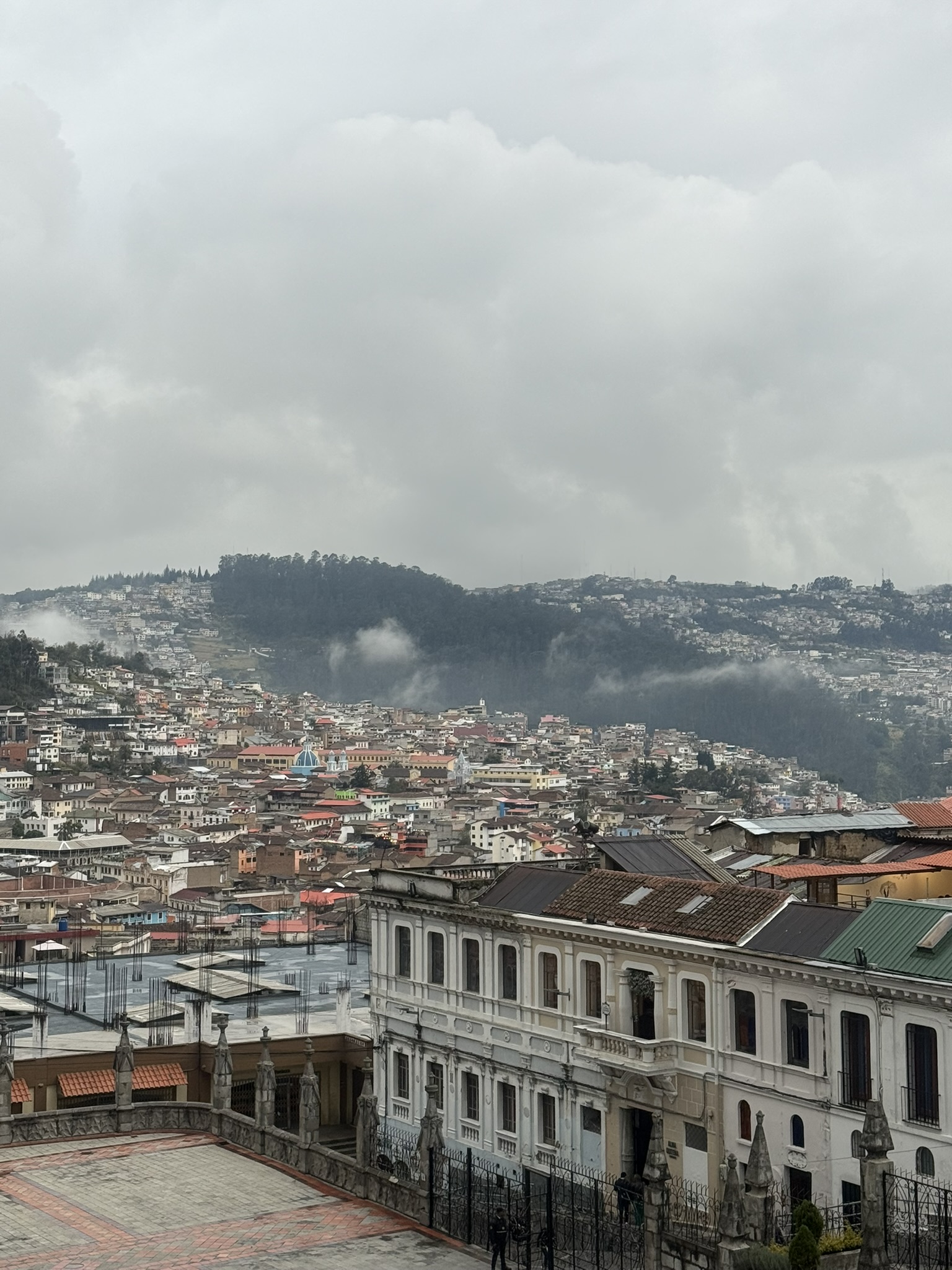
While I usually take my time to absorb as much information as possible, I have to admit that I kinda half-assed my tour of the Basilica on account of being tired and having so much left to explore in just a few hours. In fact, I practically ran to the Church and Convent of San Francisco and its adjoining square, which I also wanted to see.
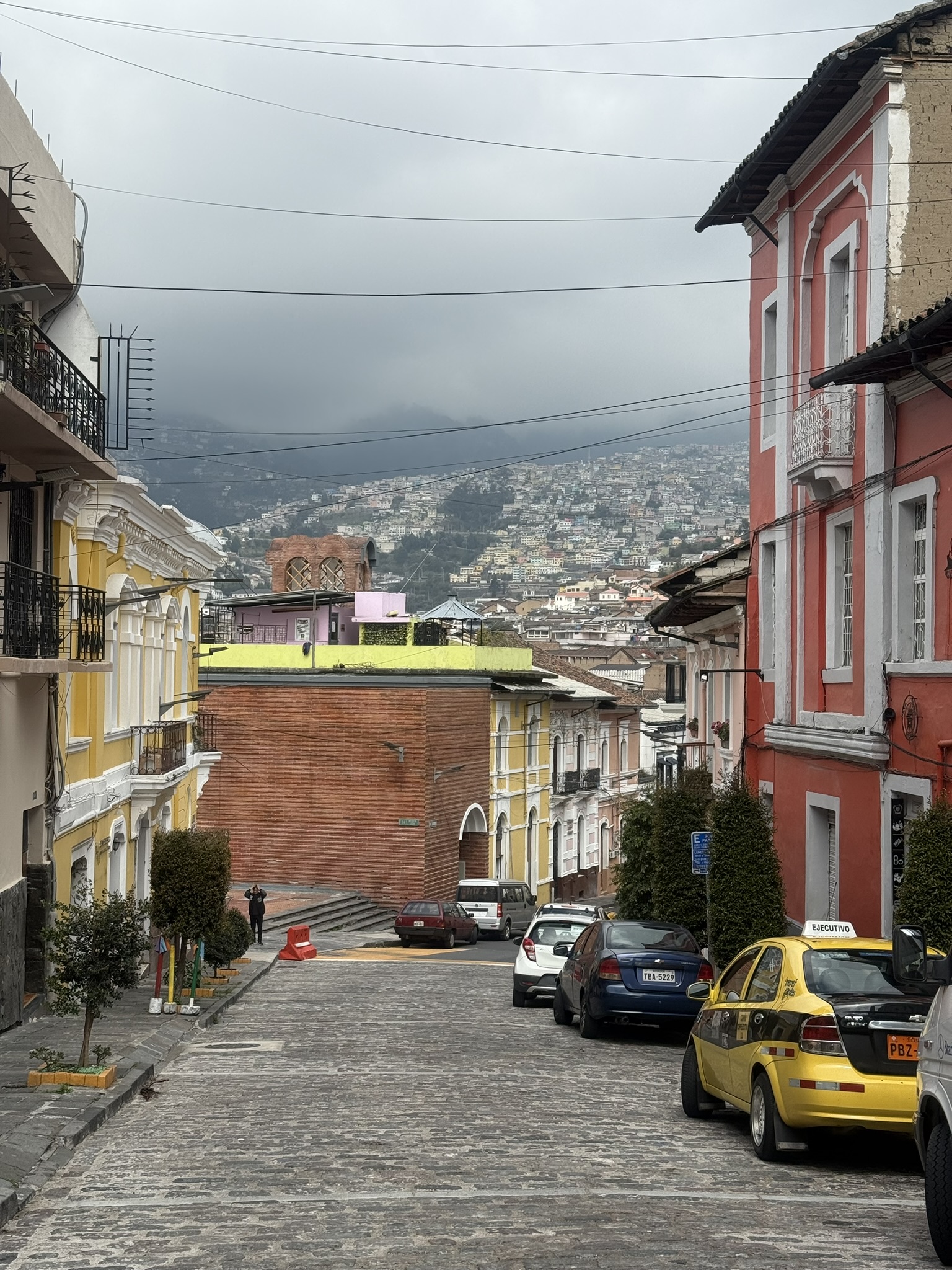
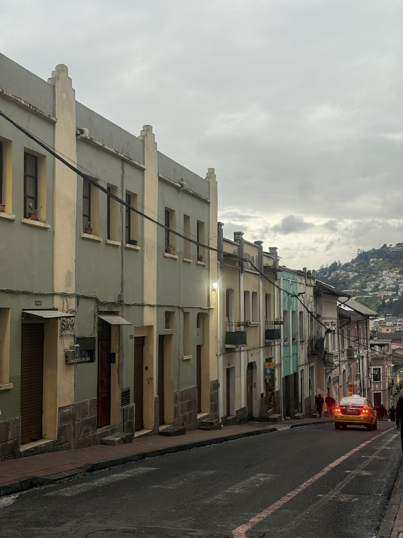
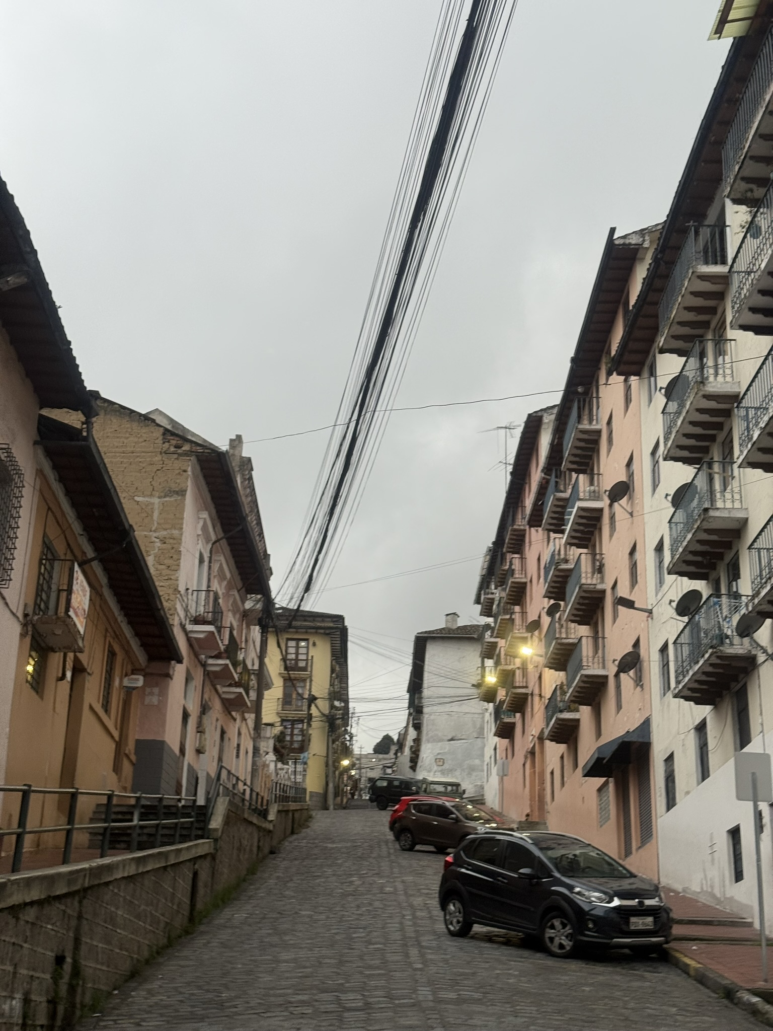
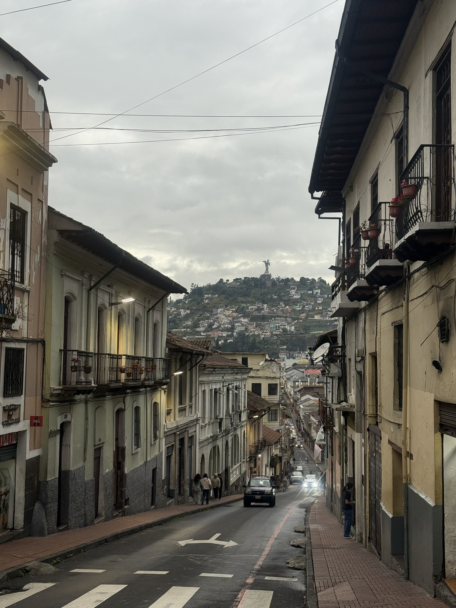
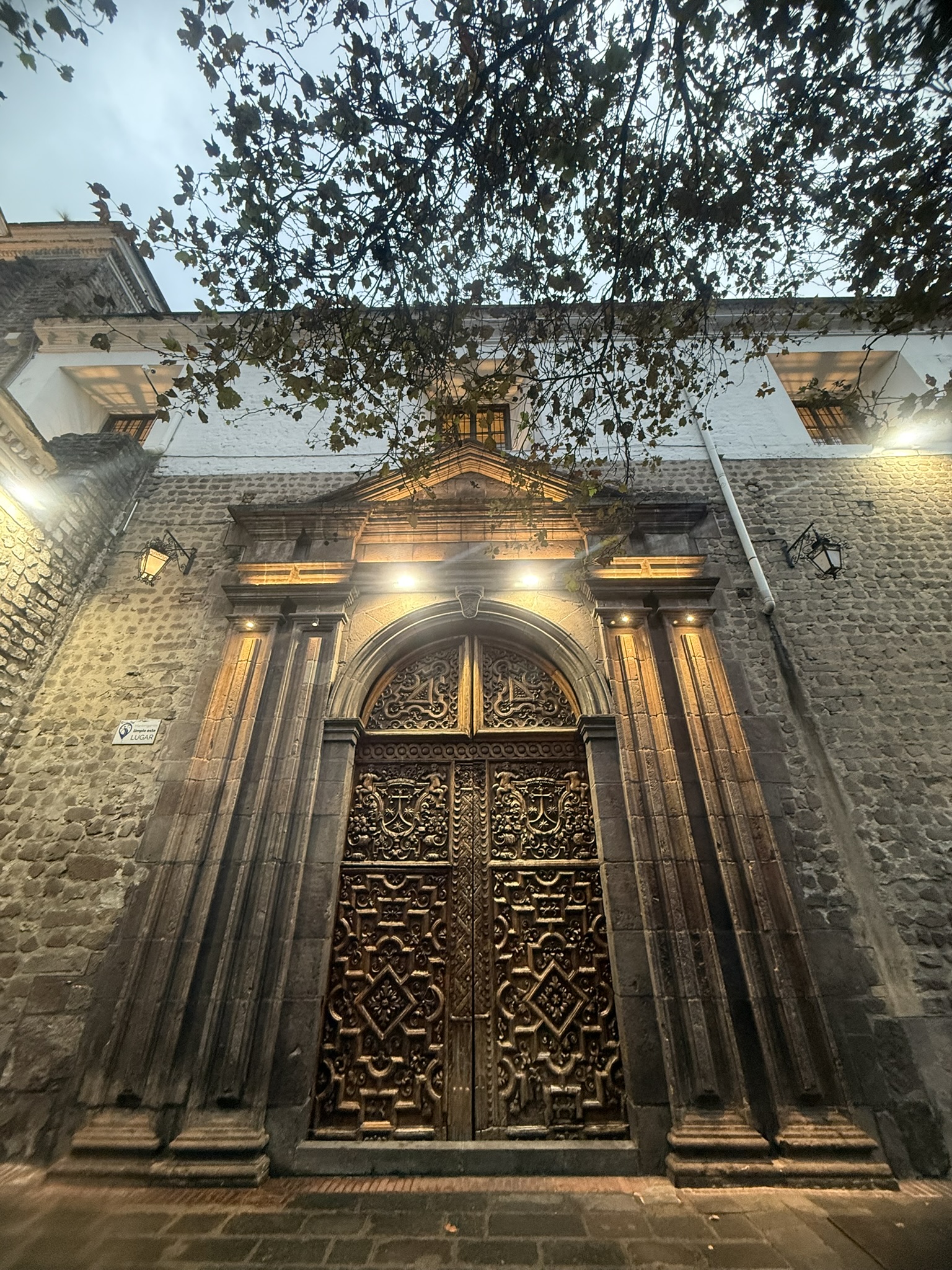
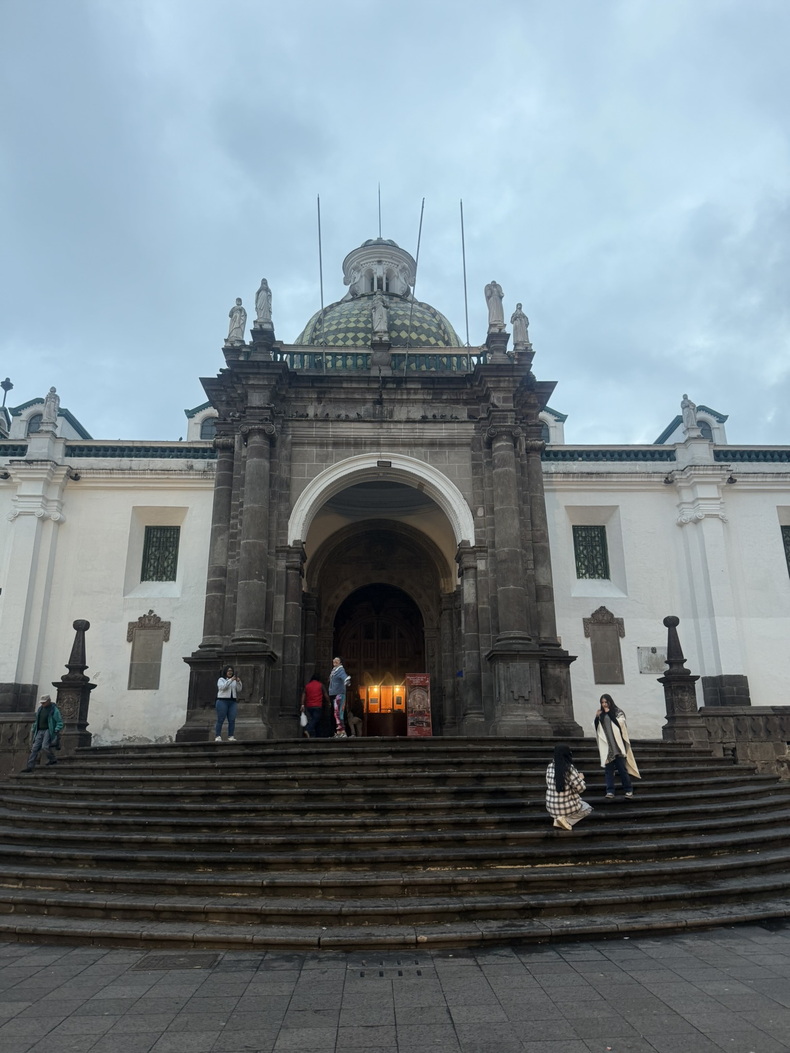
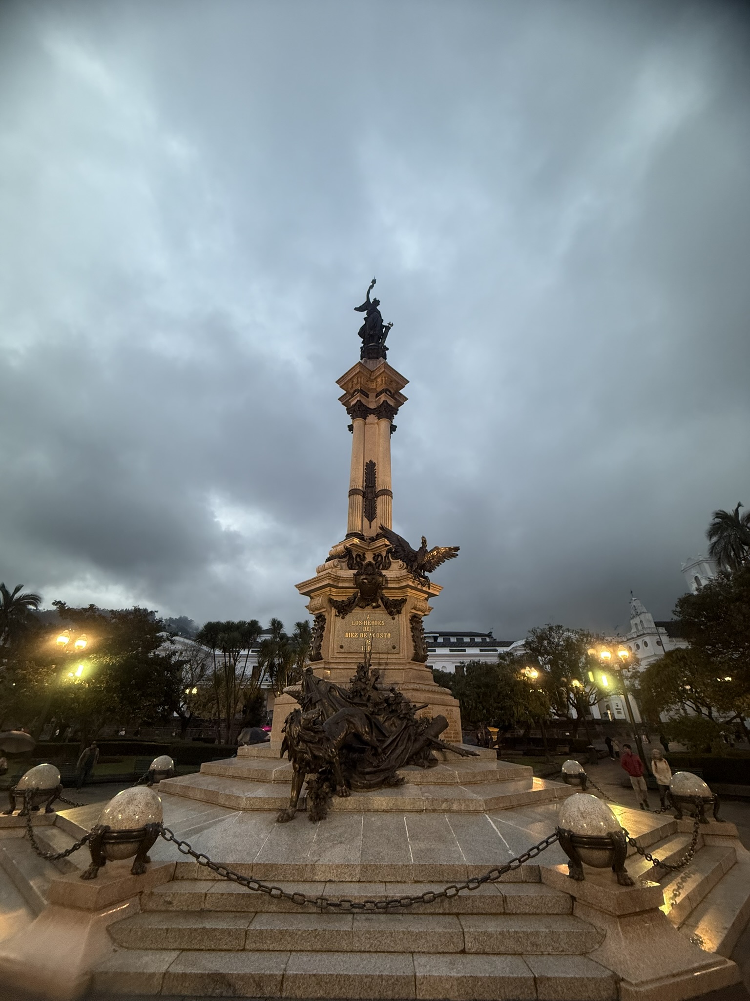
Finally giving up on trying to enjoy the evening through the rain, I bought myself an ugly blue poncho and headed back to the hotel, soaked, exhausted and looking ridiculous. Somehow, I had never felt more like a mochilero. It really was good to be back…