If the city of Santa Ana is amazing, its surroundings are out of this world – or at least that’s what I had read. In this regard, it kinda reminded me of CDMX and Cancún in Mexico – with both cities being nearby a ton of other popular attractions. And of these, there were plenty around Santa Ana.
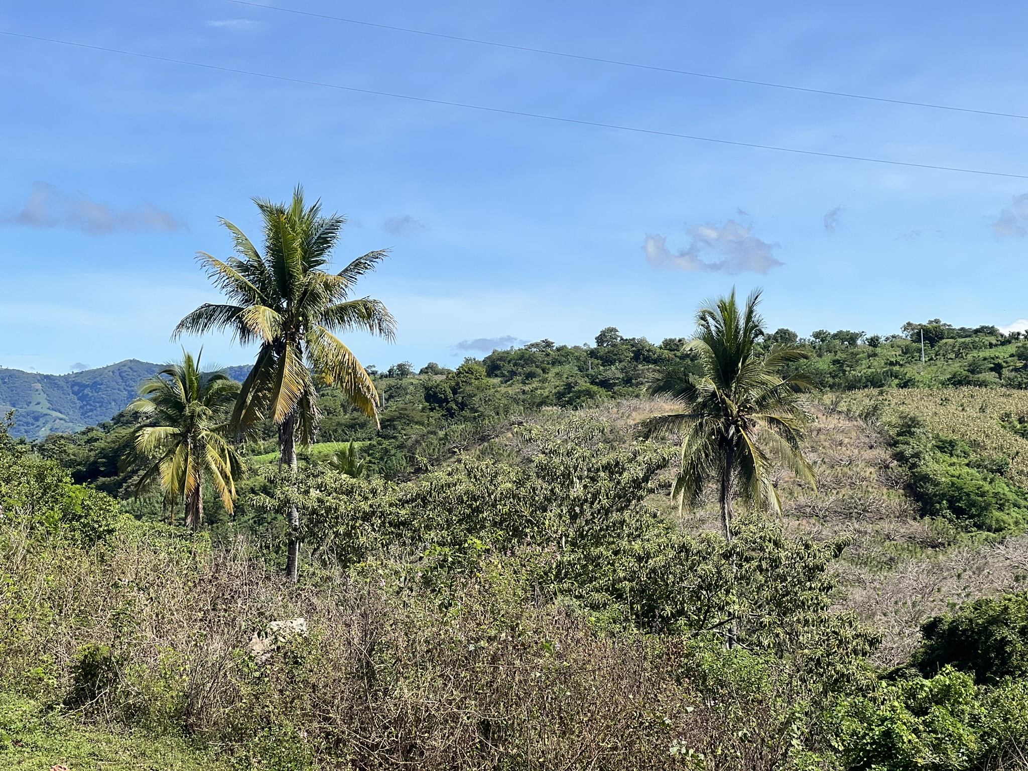
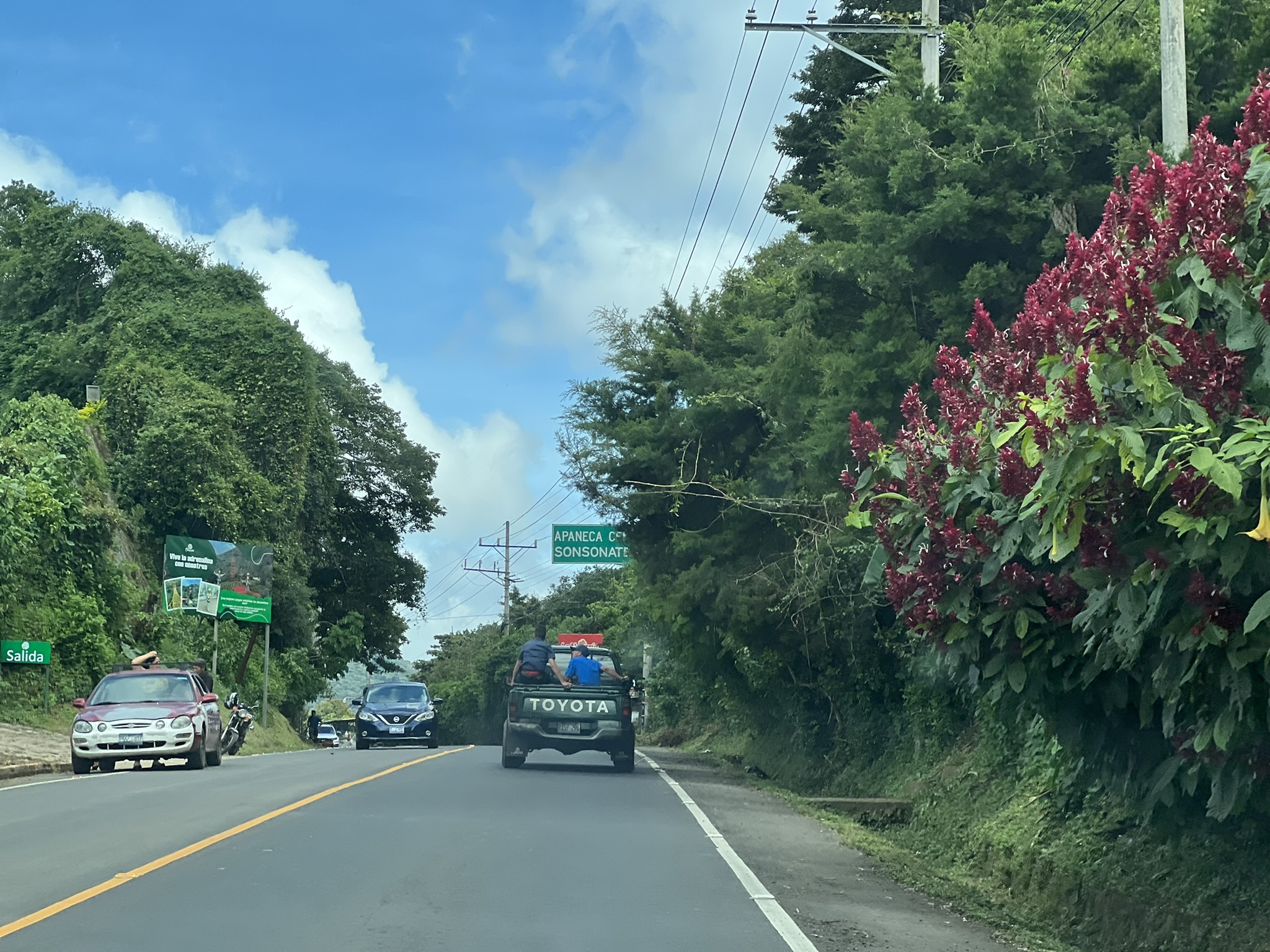
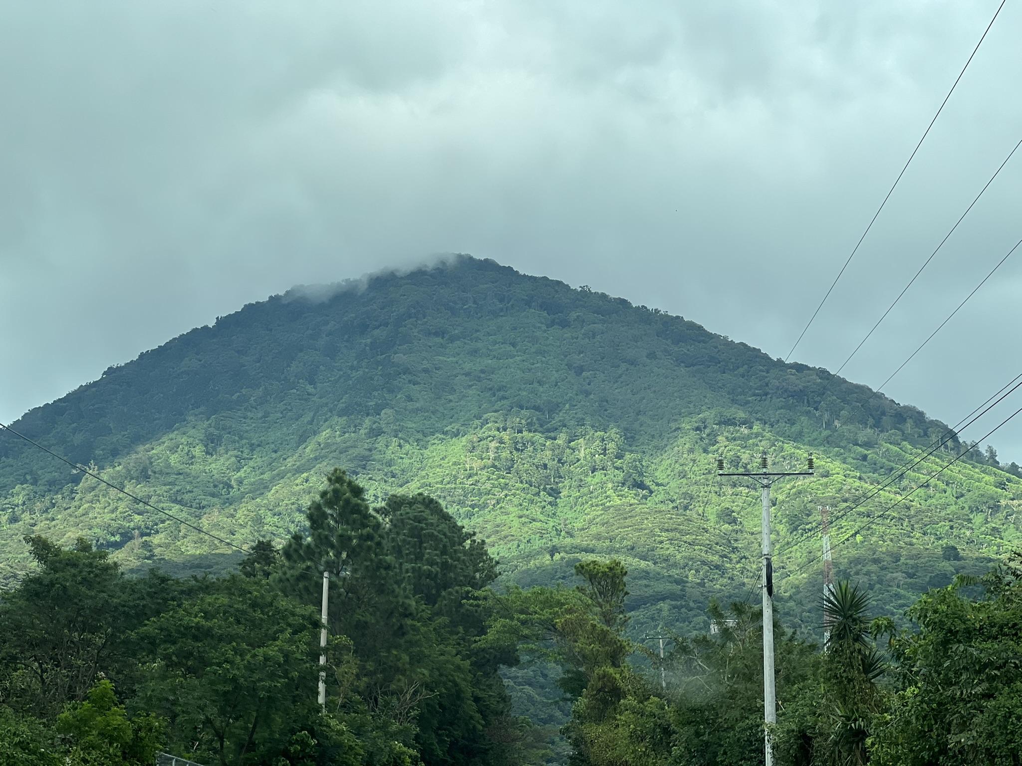
First off would be the Ruta de las Flores – the Flower Route – a 36-kilometre road that’s best visited between November and February, when all the trees and bushes lining the roads are in full bloom. As always, timing’s not my forte, and so I’d be going there in October, missing the spectacle by just a few weeks! This serene and overgrown route, winds through five main towns (Juayúa, Salcoatitán, Apaneca, Concepción de Ataco, and Nahuizalco) between the gateways of Sonsonate (south) and Ahuachapán (north), all framed by coffee plantations and volcanoes. Each of these villages is known for one thing or another.
https://sallysees.com/
Initially, I was planning on taking multiple buses and stopping for a short while in as many villages as I could. But thanks to William, the hotel concierge, I’d be doing this the easy way. Having just had a disappointing experience with a tour in Guatemala City, I specifically asked the tour company whether I’d be accompanied by a guide or just a driver. After reassuring me that all their staff were fully trained guides, I proceeded to book four tours with them, gratitude pouring from my mouth and wallet.
Malacatiupán Waterfalls
Enter Kevin, my tour guide. I was told to expect Kevin at 8 AM sharp and, lo and behold, at the strike of eight, he was there, right in front of the hotel. He told me he was from Santa Ana and had been doing this job for quite a while, also working part-time as a taxi driver.
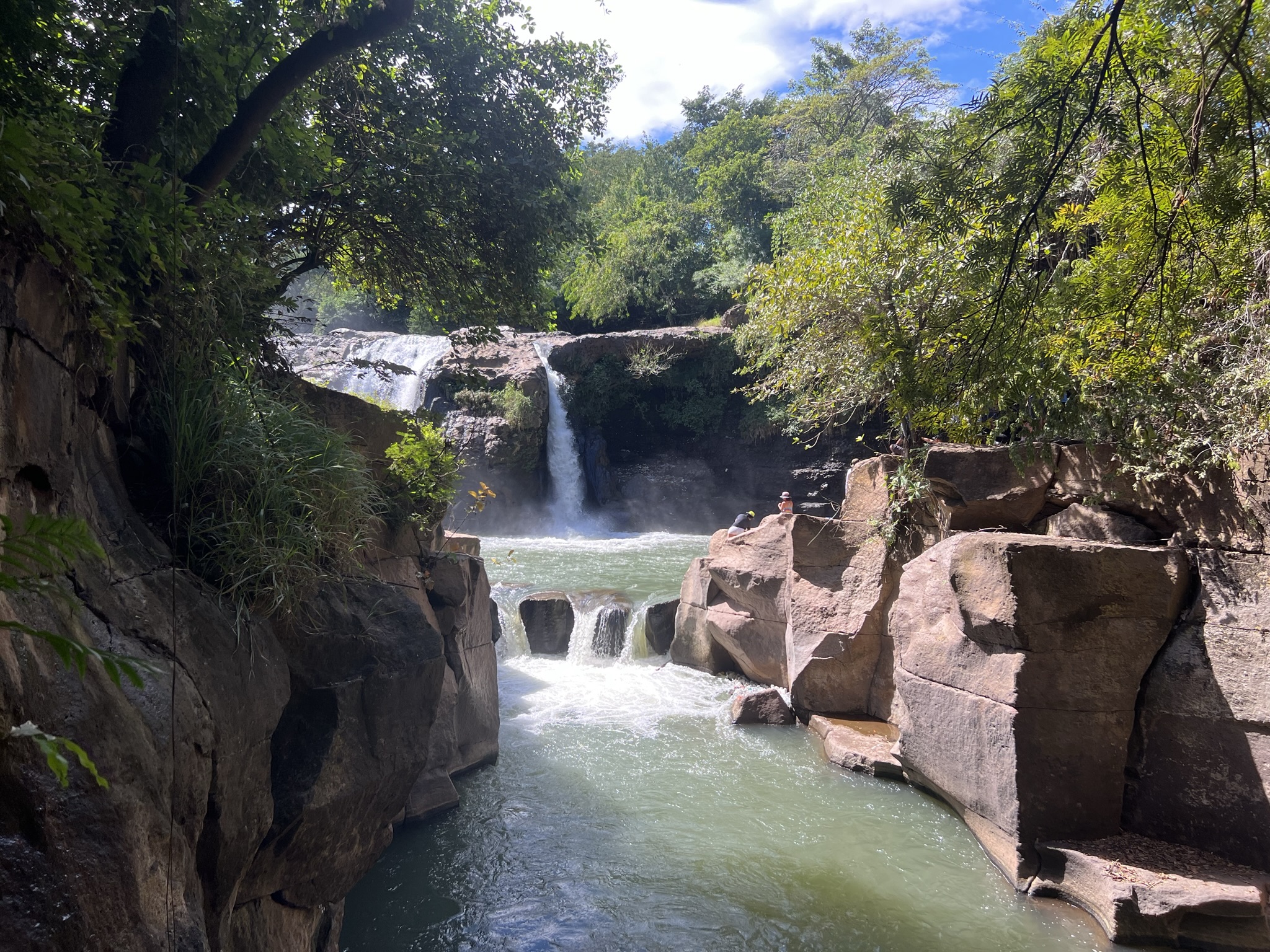
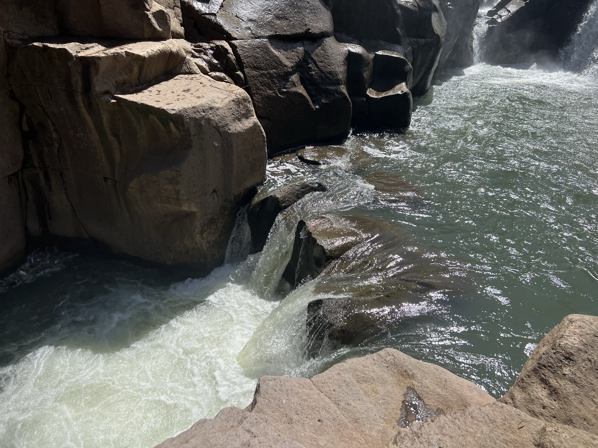
He explained that we’d be stopping by three villages, with two of the ones I wanted to see the most not on the list. I expressed my disappointment, which did nothing apart from encouraging him to add something else – the waterfalls of Malacatiupán – a hot spring waterfall naturally heated by the volcanic chain near Santa Ana. I guess that could be a compromise, I figured. I didn’t have my swimming trunks with me, but it was nice of him to add it to our route free of charge!
The road to get there was closed, with traffic wardens redirecting us through some fields instead. He looked at me with the most concerned face: “I don’t think my car can make it through this… Do you think my car will make it through this?” This was an extra thing I could do in my spare time in Santa Ana, so I assured him he didn’t need to go through with it. Hell, I wouldn’t have driven my 2003 Polo that was practically falling to pieces on such a road! All defeated, he agreed to turn around and, whilst doing a U-turn, just goes, “¡Vamos!”. Wonder of wonders – the car first got stuck in the mud and then, after finally getting it unstuck, he ran over a giant boulder and burst a tyre.
My facial expression looked exactly like Ditto’s, as he stared at me with a helpless look on his face. Thirty minutes and a gallon of sweat later, we were once again on the road again. The one good thing about the trip was getting to see a couple of torogoz – turquoise-browed motmots – the national bird of El Salvador. Truly a beautiful creature, with green, orange and light blue plumage and a racketed tail that hangs beneath its body like a blue-black pendulum. ¡Muy chivo!
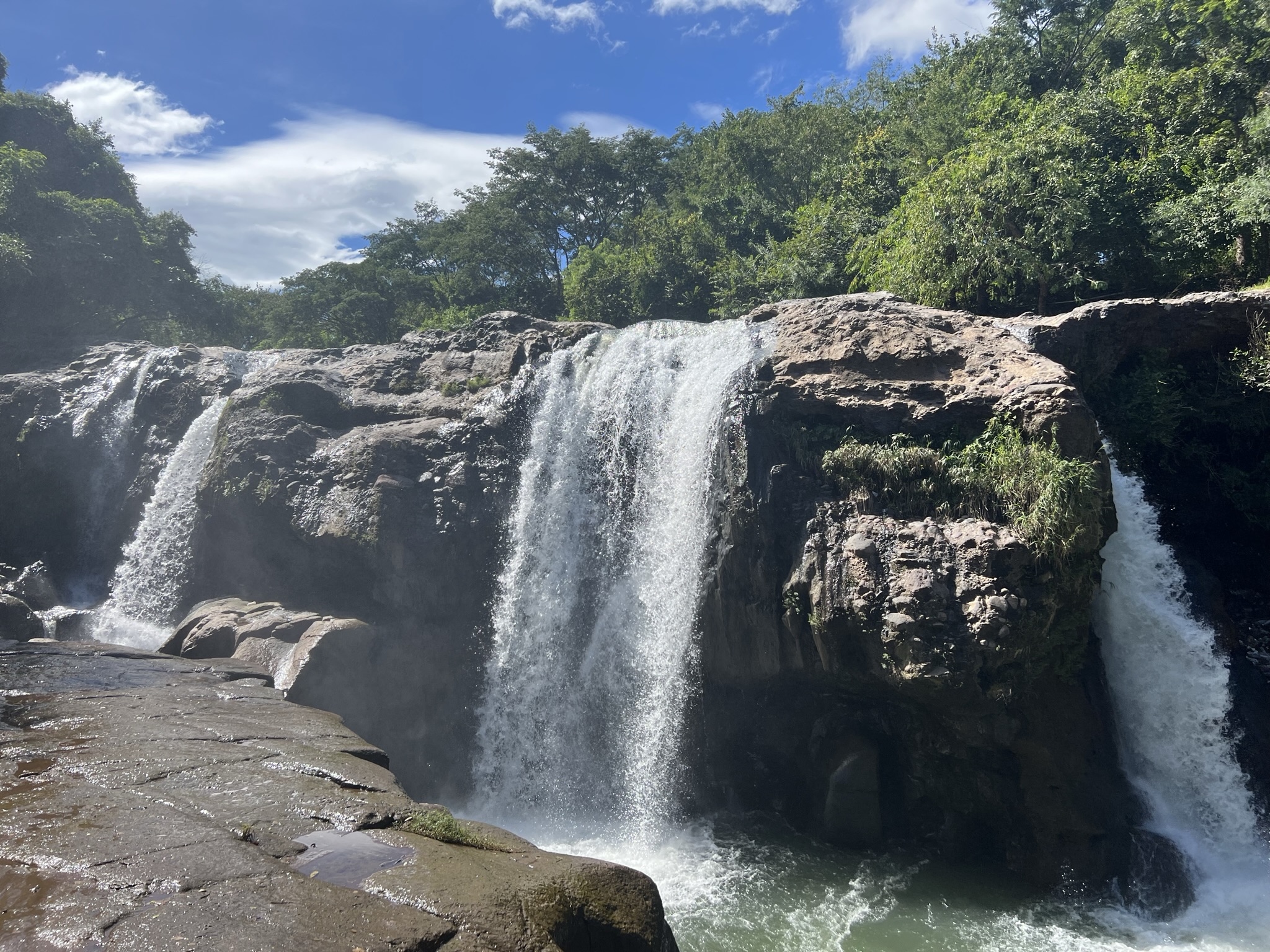
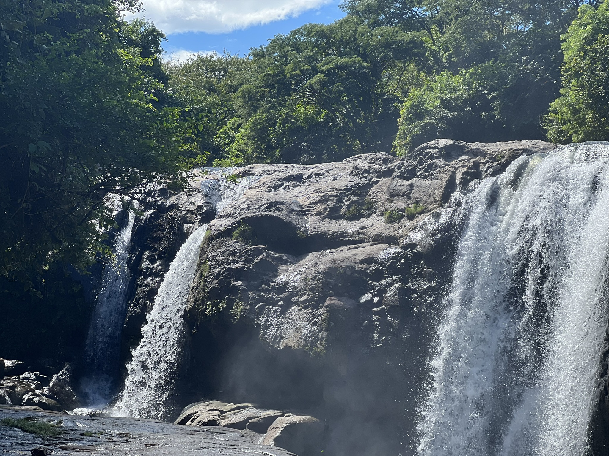
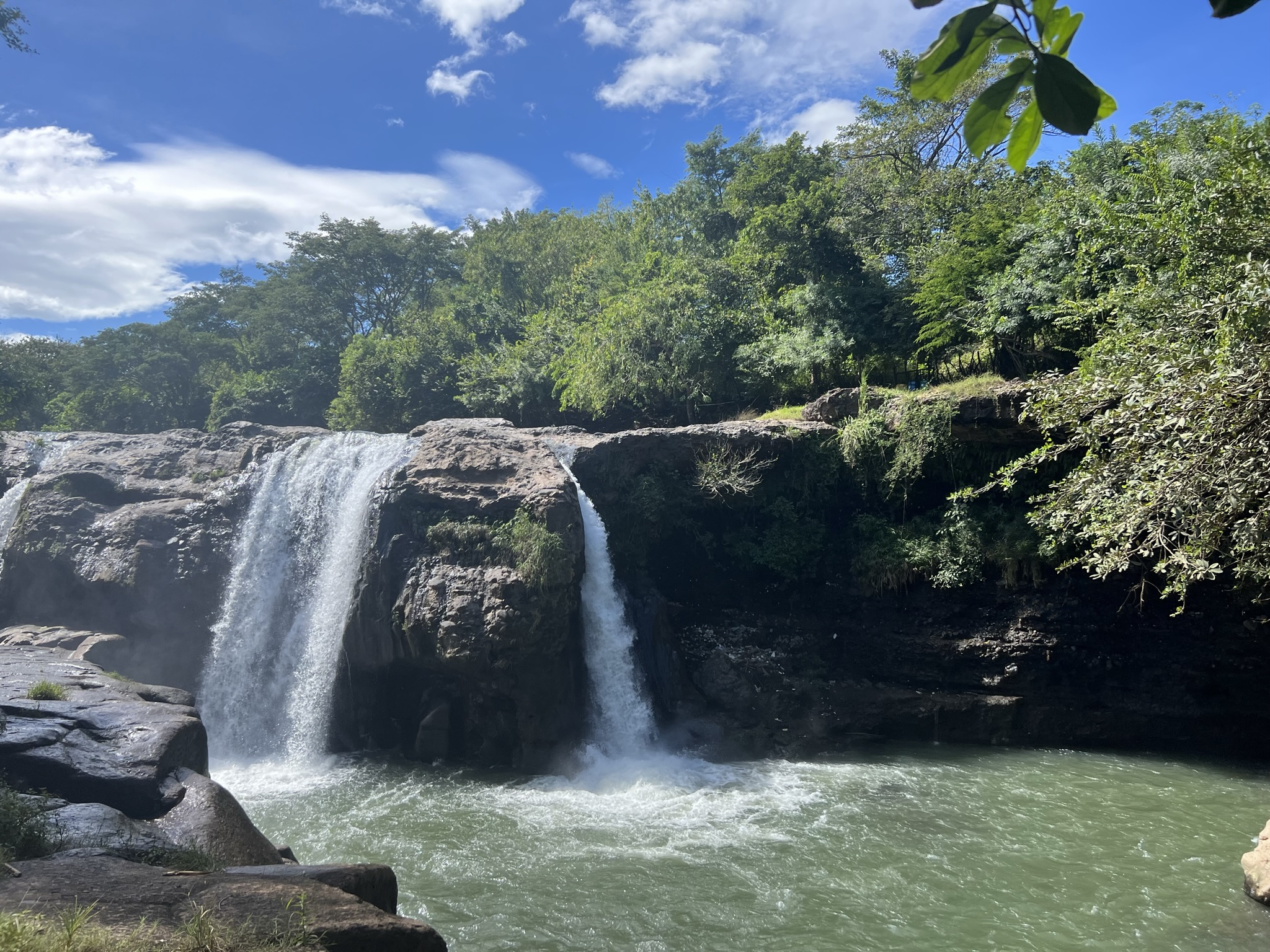
The second I saw the falls, I quickly forgot all about our journey getting there. From the nature park’s entrance, we had to jump over the hot springs to get to the other side and below the falls, where the most impressive vista was waiting. The huge waterfall wasn’t unlike others I’d seen, but the spray crashing down onto the rocks and pools below was joined by water vapour and a giant rainbow that looked like it had been painted with acrylics right then and there. It was truly beautiful and truly worth the detour! Some locals were already making good use of the hot springs, bathing in the natural pools full of gloriously hot water. Of course, I knew nothing about this, so I didn’t have my swimming trunks with me – and let’s just say the underwear I had on that day weren’t the most… presentable.
Kevin looked at the thing with pure adoration. Weirdly, it felt like it was his first time there. “Can you take a photo for me?” he asked, further proving my suspicion. Assuming he’s an influencer of some sort, he had me take an additional twenty-something photos to capture the true essence of the waterfall and his corpus. When it was finally my turn to ask for one, he nudged me on, saying we’d have to rush if we were to see the rest of the Ruta. Again, Ditto face.
La Ruta de las Flores
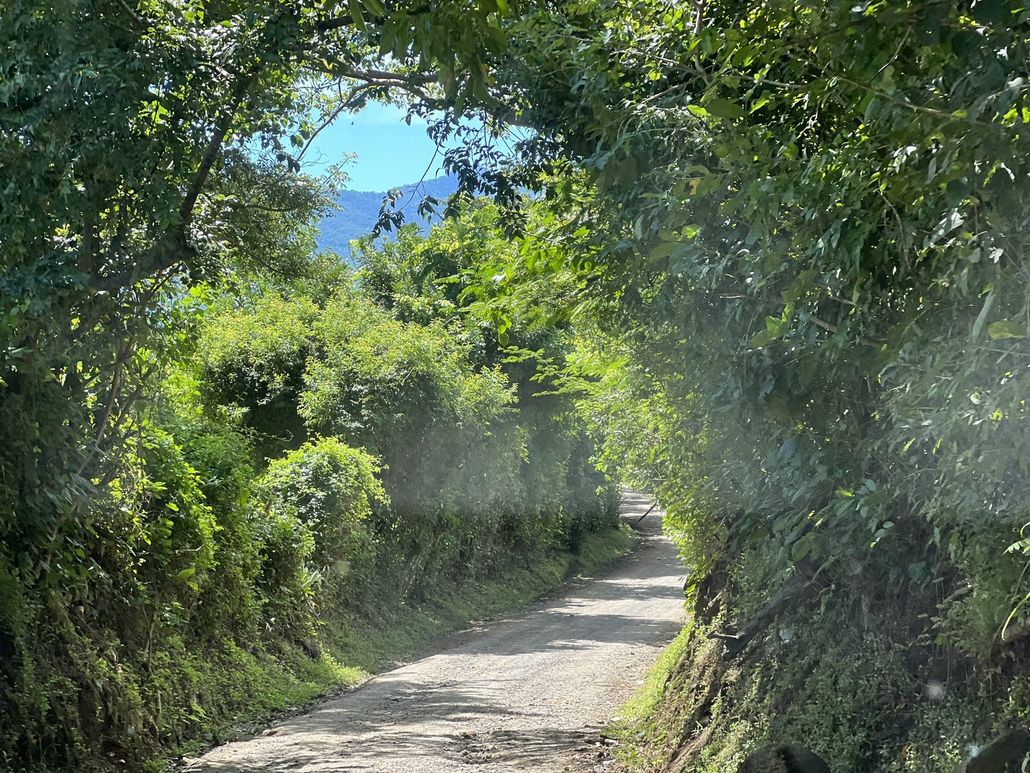
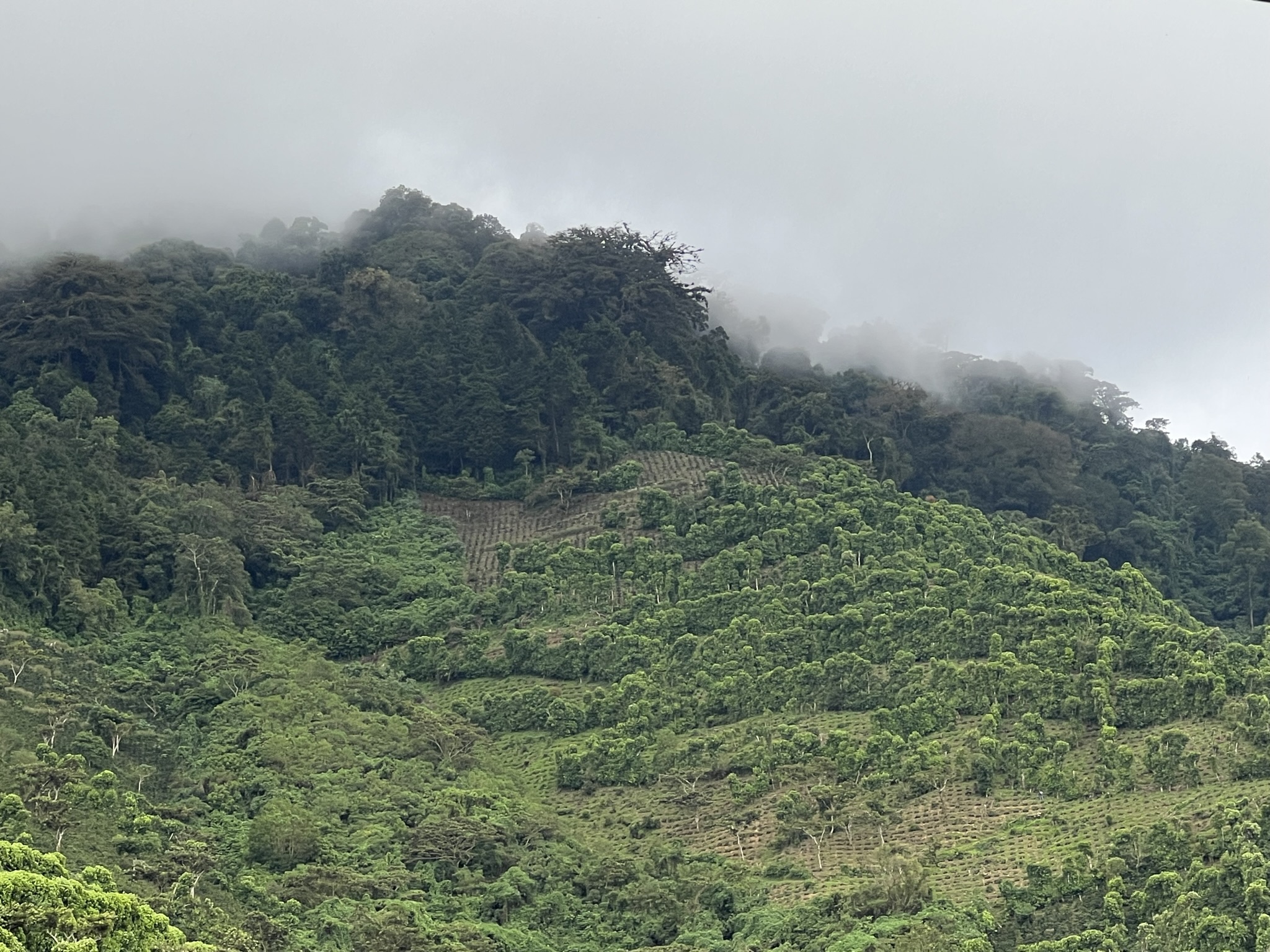
From the falls, we then drove through a busy market road in the town of Ahuachapán – our entryway into the Ruta de las Flores. While it made for a really pleasant drive, with dense green foliage on either side and hills and volcanoes ahead, I could count more flowers in my hospital’s gift shop than I did there.
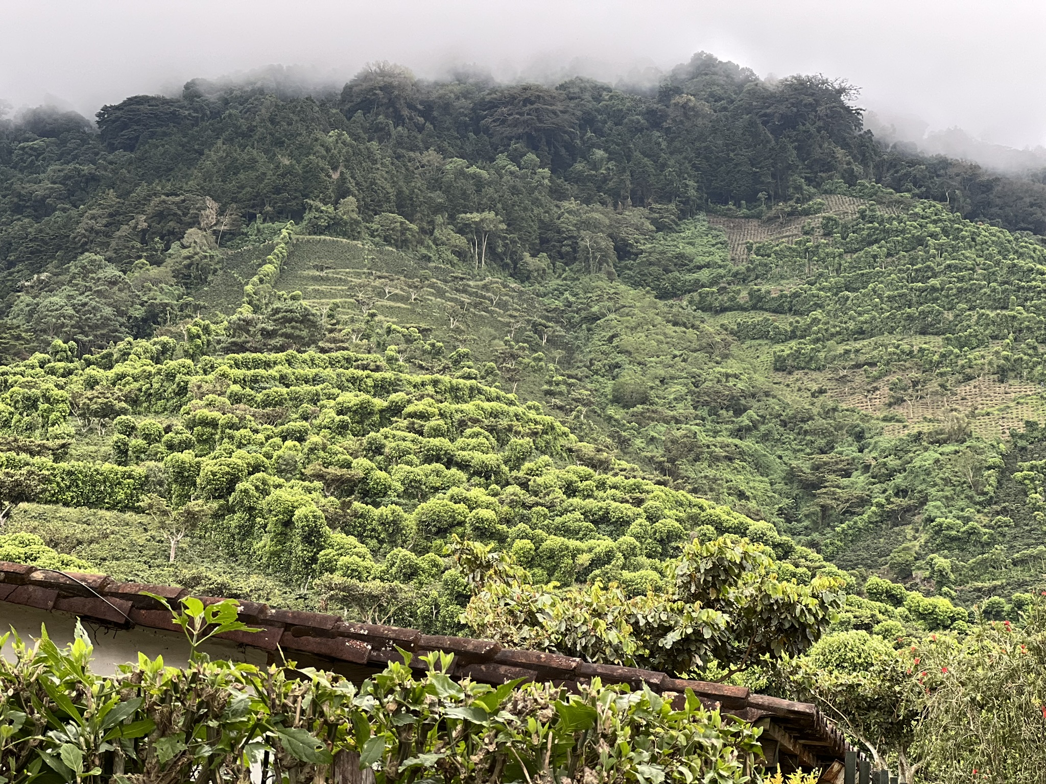
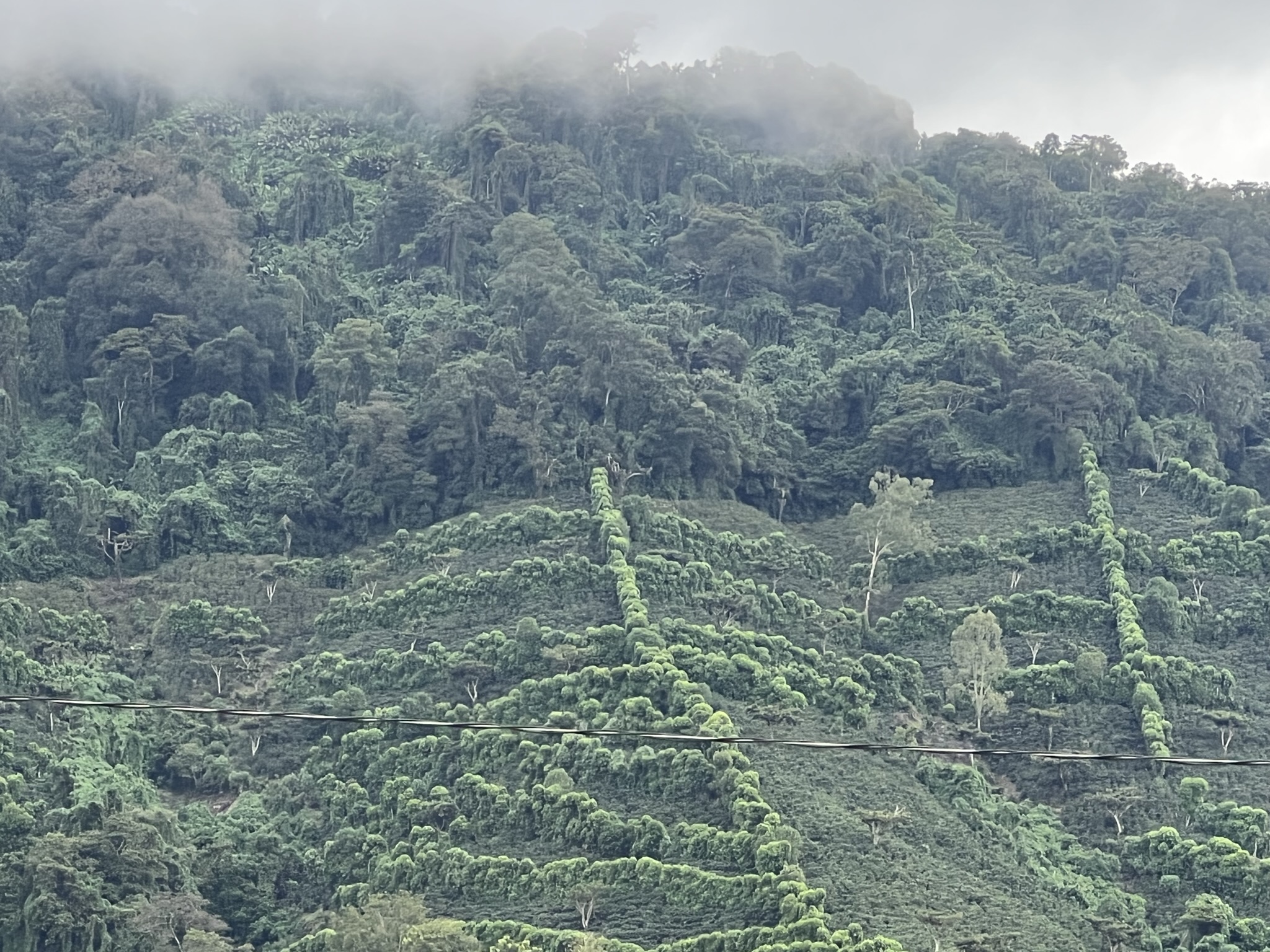
Kevin told me it would take a few more weeks for it to turn into the flowery heaven advertised in travel brochures – and even then, it’s not as lush. The surroundings made up for the lack of flowers, though. On the hillside were hundreds upon hundreds of fields, all enclosed within square-shaped hedges. These, he explained were coffee plantations, with the hedges protecting the coffee plants from the wind which can at times be strong enough to damage them. He added that he used to be a coffee farmer himself, a job he left behind as the money is quite scant.
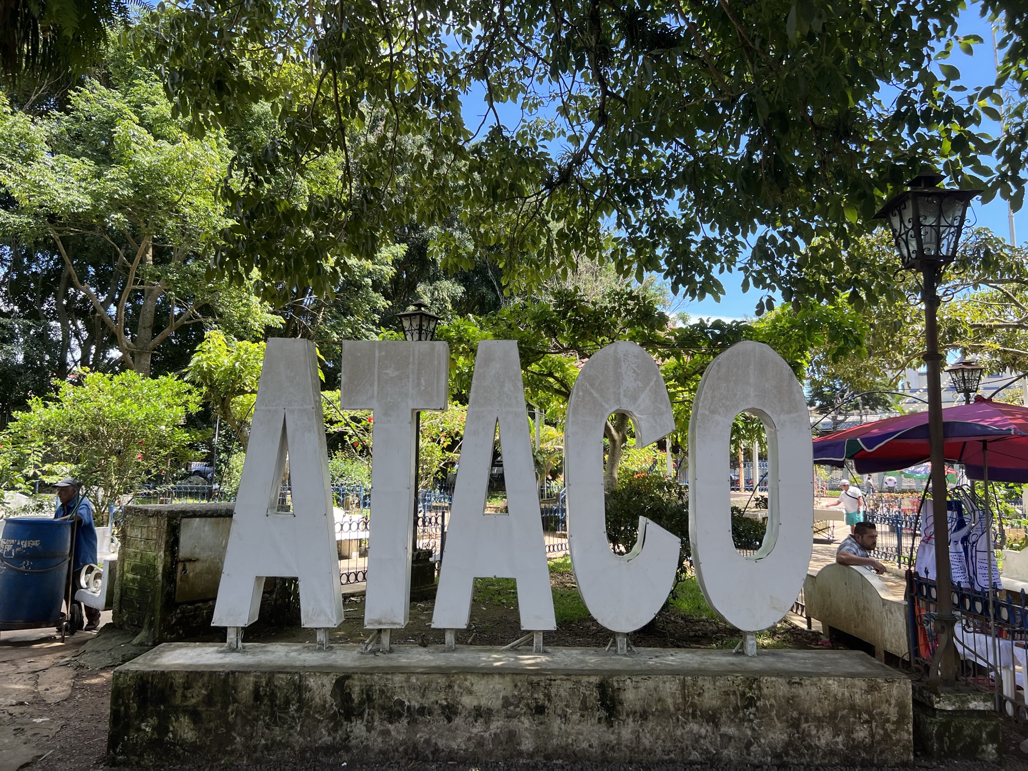
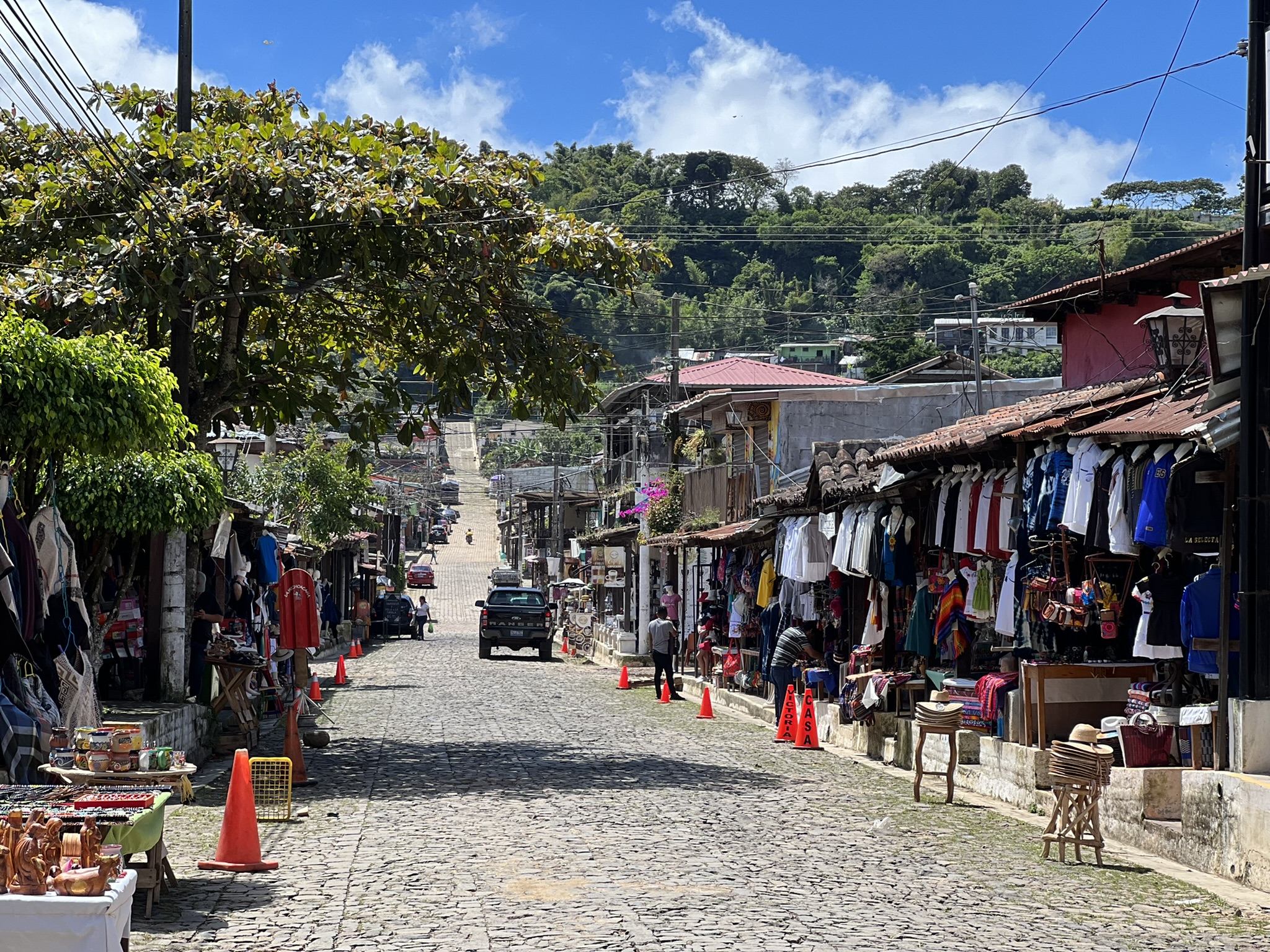
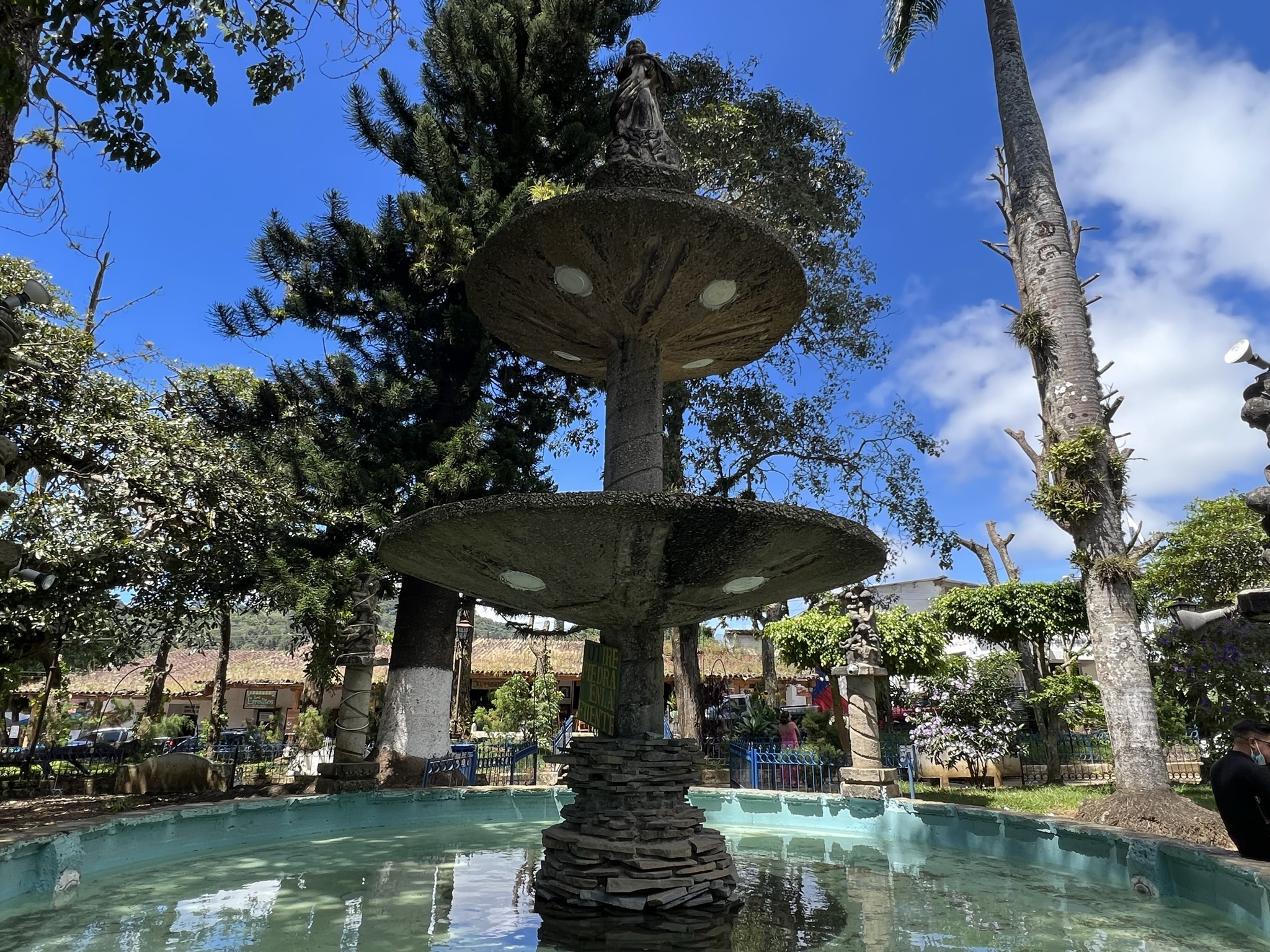
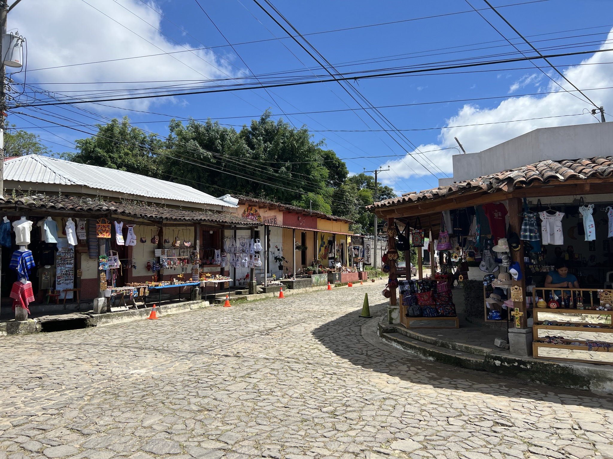
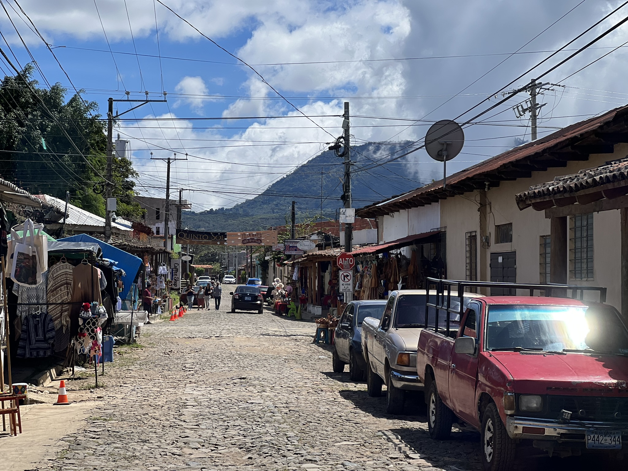
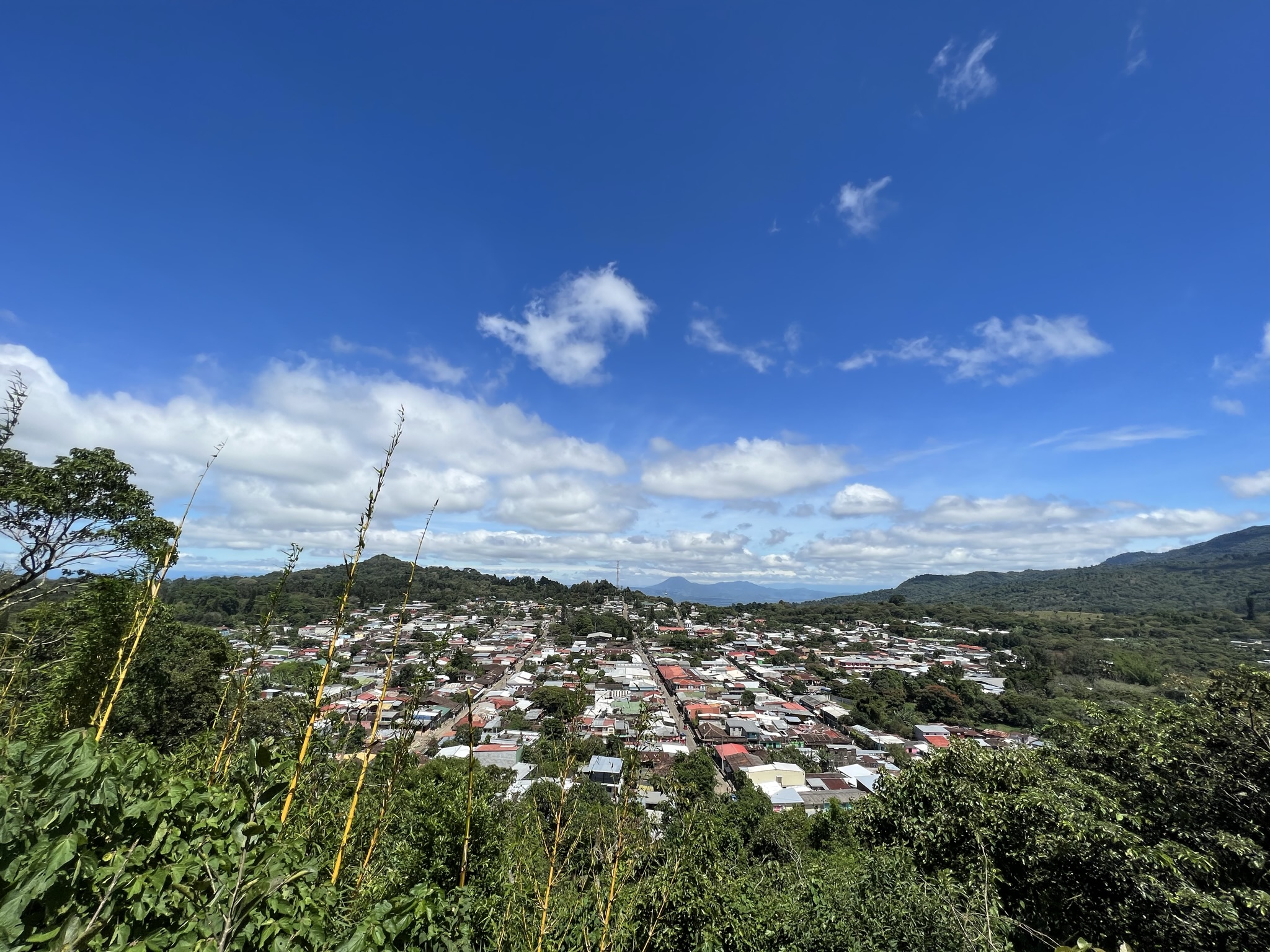
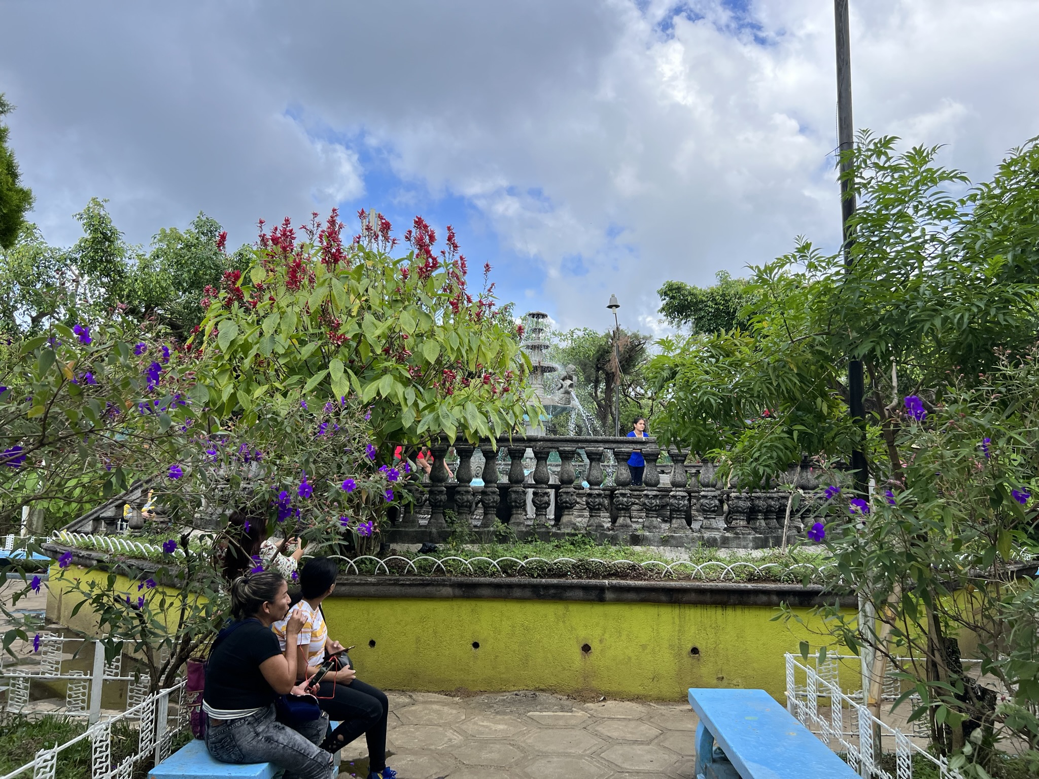
Pretty soon, we were at our first real stop – the town of Concepción de Ataco, which, in Nahuatl, means “high place of springs”. The town is vibrant and full of life, as are its people, with vendors in street markets, souvenir stalls and textile shops drawing in all kinds of tourists with their charm and beautiful artisanal products. I guess what takes the cake here are the murals covering most of the colonial buildings, with my favourite one showing the town itself and another featuring two colourful cats surrounded by flowers with the sunset behind.
I’d ask Kevin one question after the other, to which he’d invariably reply with a sheepish “¡No sé!”, meaning he didn’t know. Granted, he’d ask a local standing by – something I could’ve easily done myself – so by the end I’d still get the answer. After visiting the town centre, I recommended we visit a viewpoint located a few minutes away – something I had previously seen on a map and Kevin had no idea about.
The way up was a bit steep and we had to stop every two minutes for him to catch his breath, effectively doubling our walking time. When we eventually got there, it was time for yet another photoshoot – for him, of course. He also thanked me for showing him around. I bit my tongue cause we still had plenty of stops to make… but boy was he testing me.
A Few More Stops
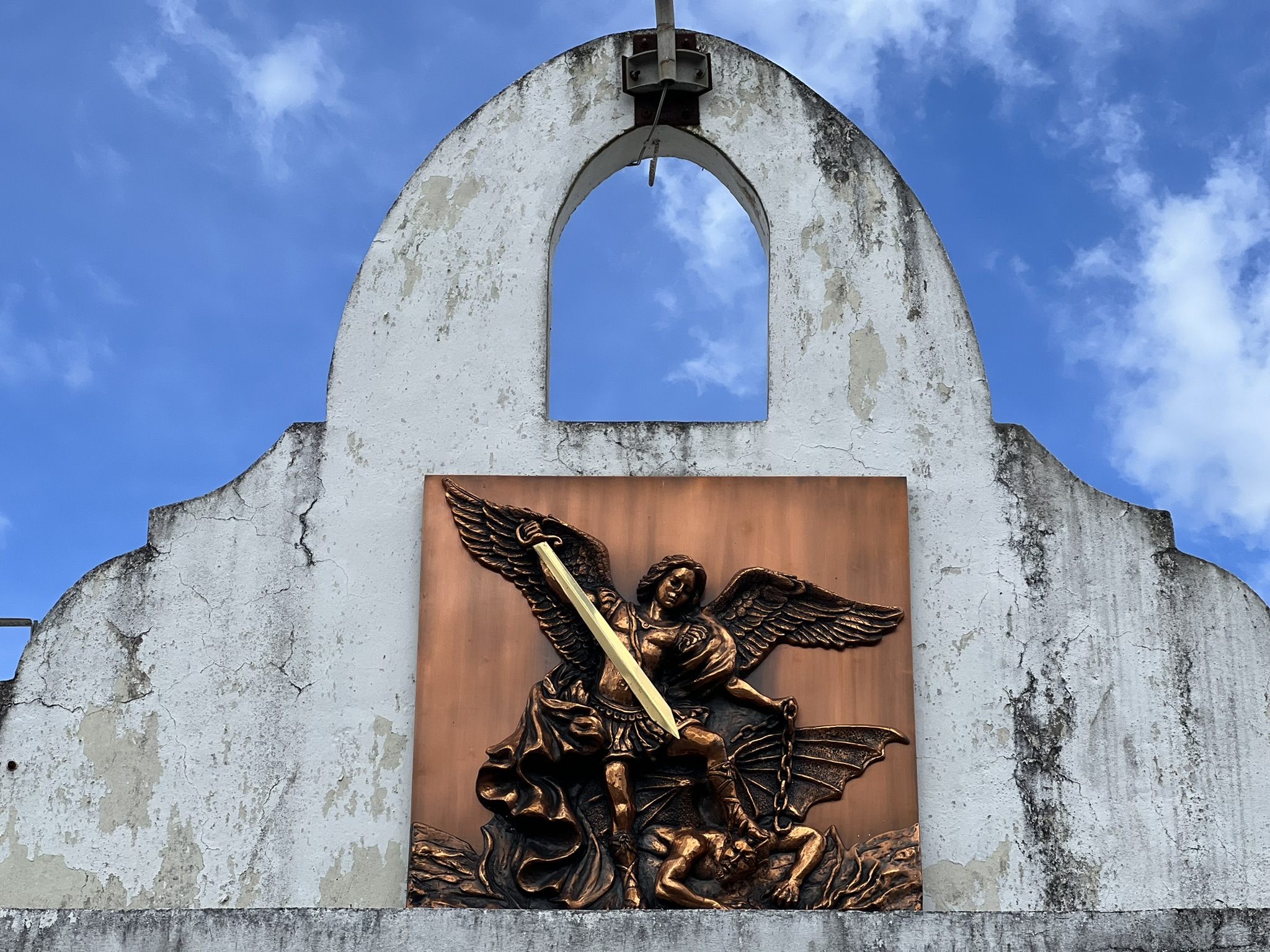
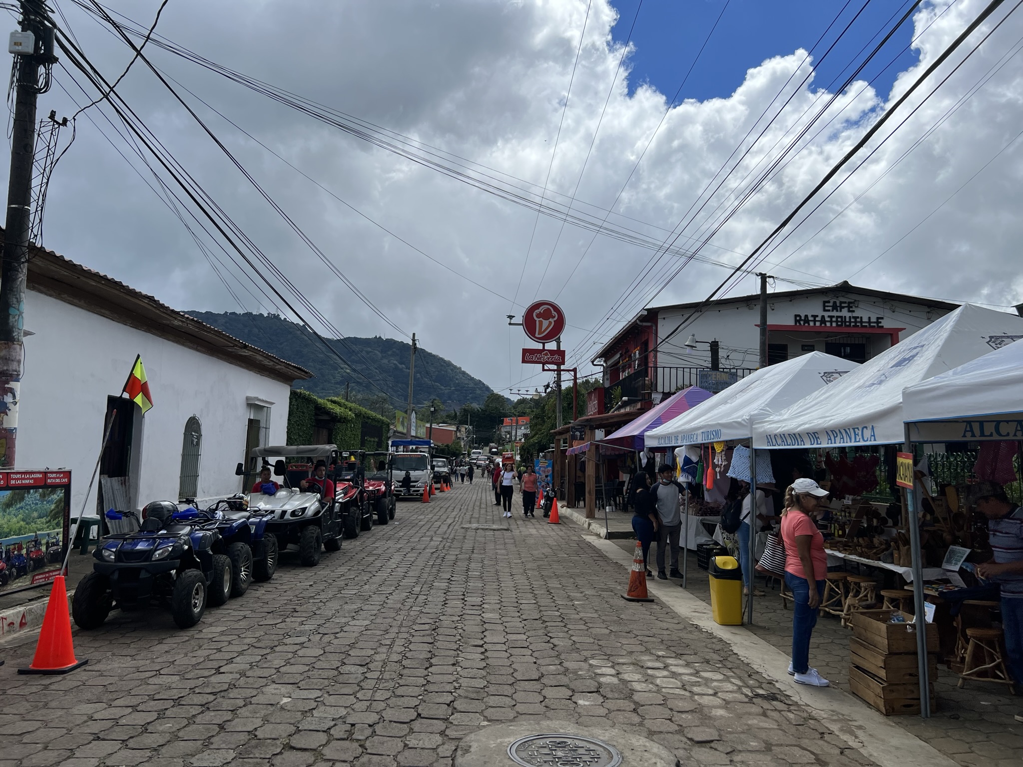
Then it was the town of Apaneca – a town which, according to Kevin but no other reliable source, was built over a cemetery. Here we made a short stop to walk around the central park, a church, and the municipal market where he showed me some artisanal shops.
He pointed out a statuette of the Cipitío – a legendary Salvadoran figure said to be the bastard son of the Siguanaba (a beautiful woman who, when approached by men, turns into an old hag with saggy breasts, leading them into danger) and Lucifer (yeah, that guy). When Siguanaba’s husband found out about their affair and child, he condemned the Cipitío to live forever as a young kid, with a potbelly and backwards-facing feet, always wearing a conical hat and eating ashes. This creature was said to fool farmers by leaving backwards footprints into the bushes, throw pebbles at young ladies, and even teleport. While this might sound like an evil being, most people see this impish creature as innocent and possibly a sign of good luck.
At the same market, we also got to try some local street food – the atole de elote, a deliciously thick, sweet corn-based soup with cinnamon and milk, and the elote loco – a grilled corn cob topped with mayo, mustard, Worcestershire sauce and cheese.
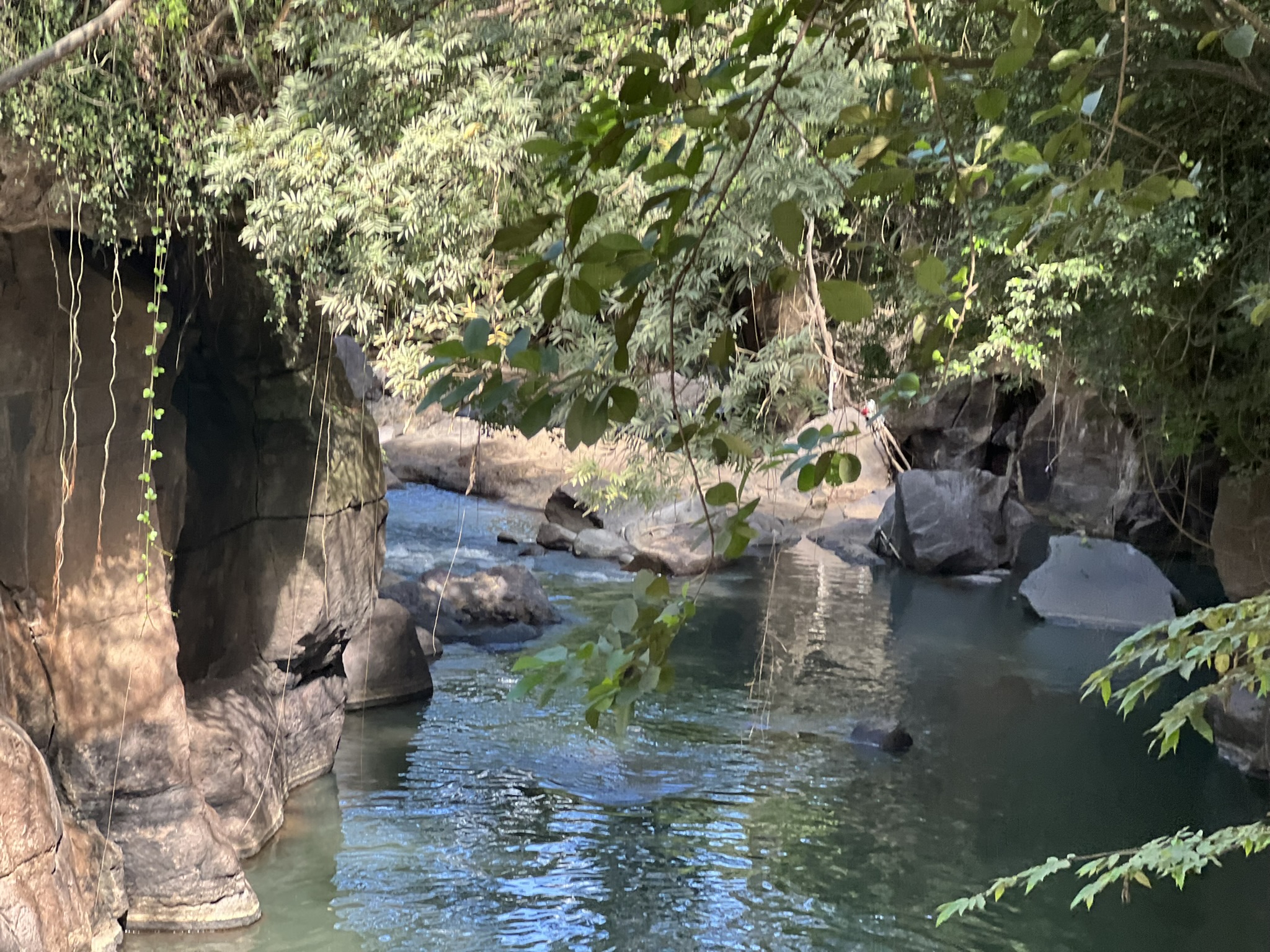
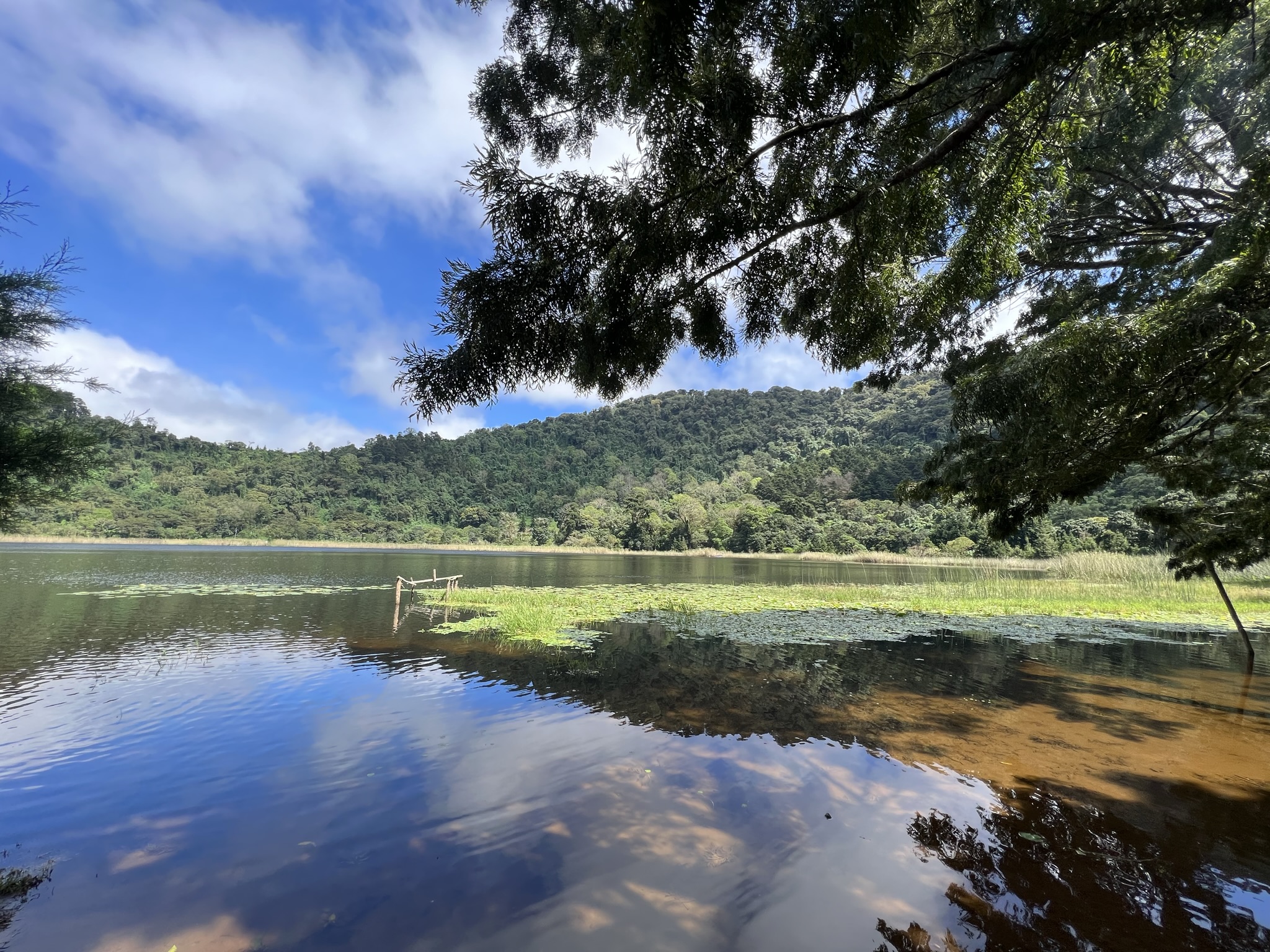
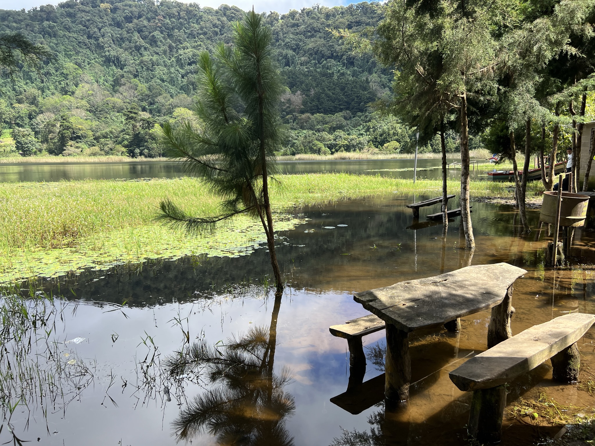
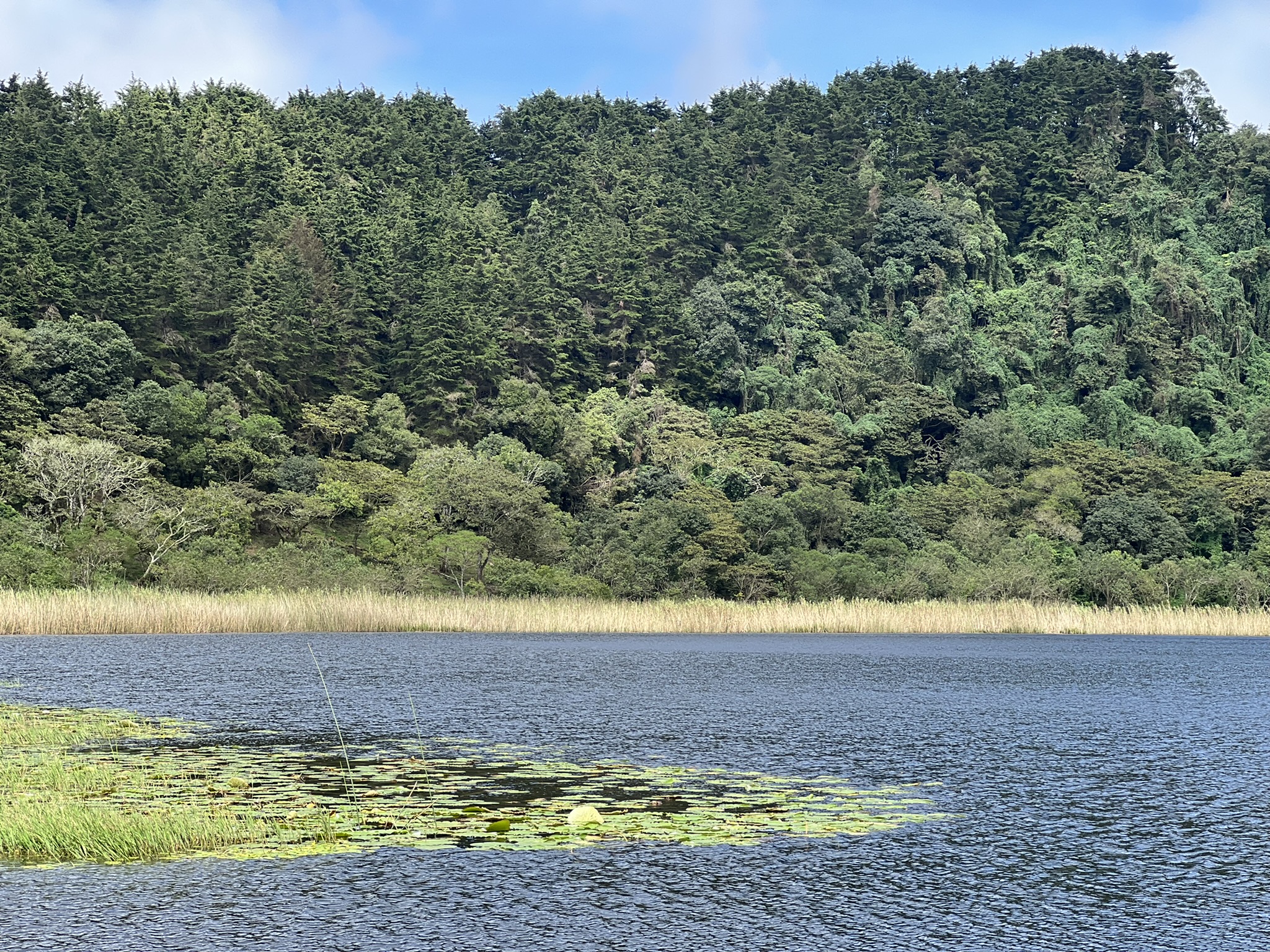
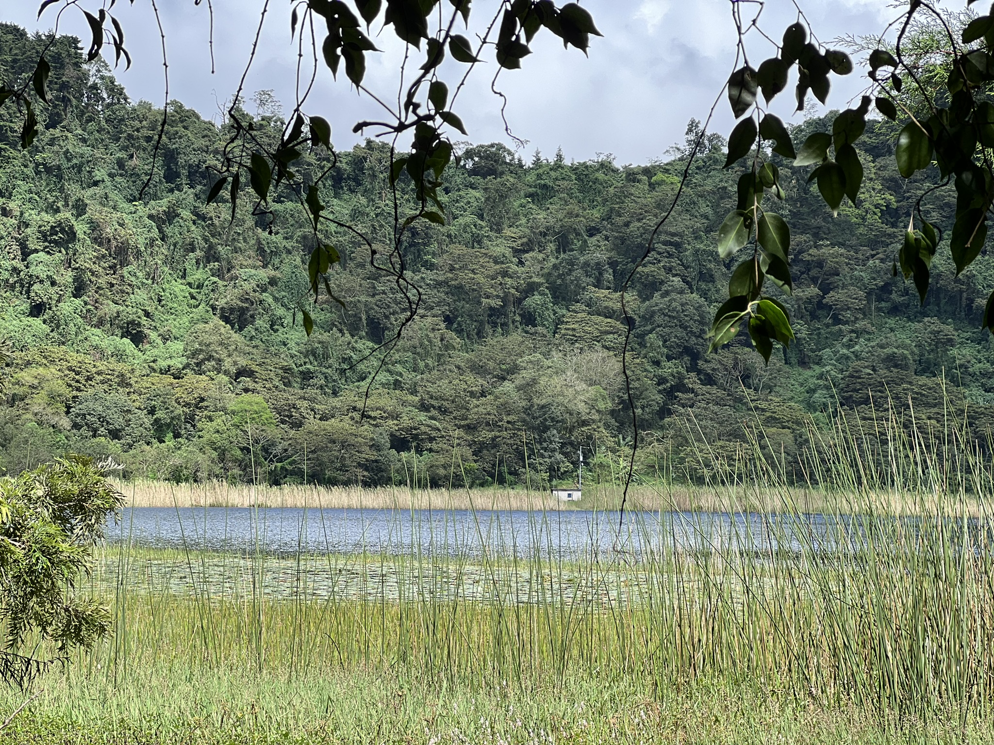
On the way to the next city, Kevin decided to add yet another stop – the Laguna Verde – which was well worth the detour. The small, round lake is found inside the crater of the Ahuachapán volcano, surrounded by trees on all sides. After a long day of going around towns and cities, it was definitely a welcome sight, with a sense of peace and serenity permeating the entire area.
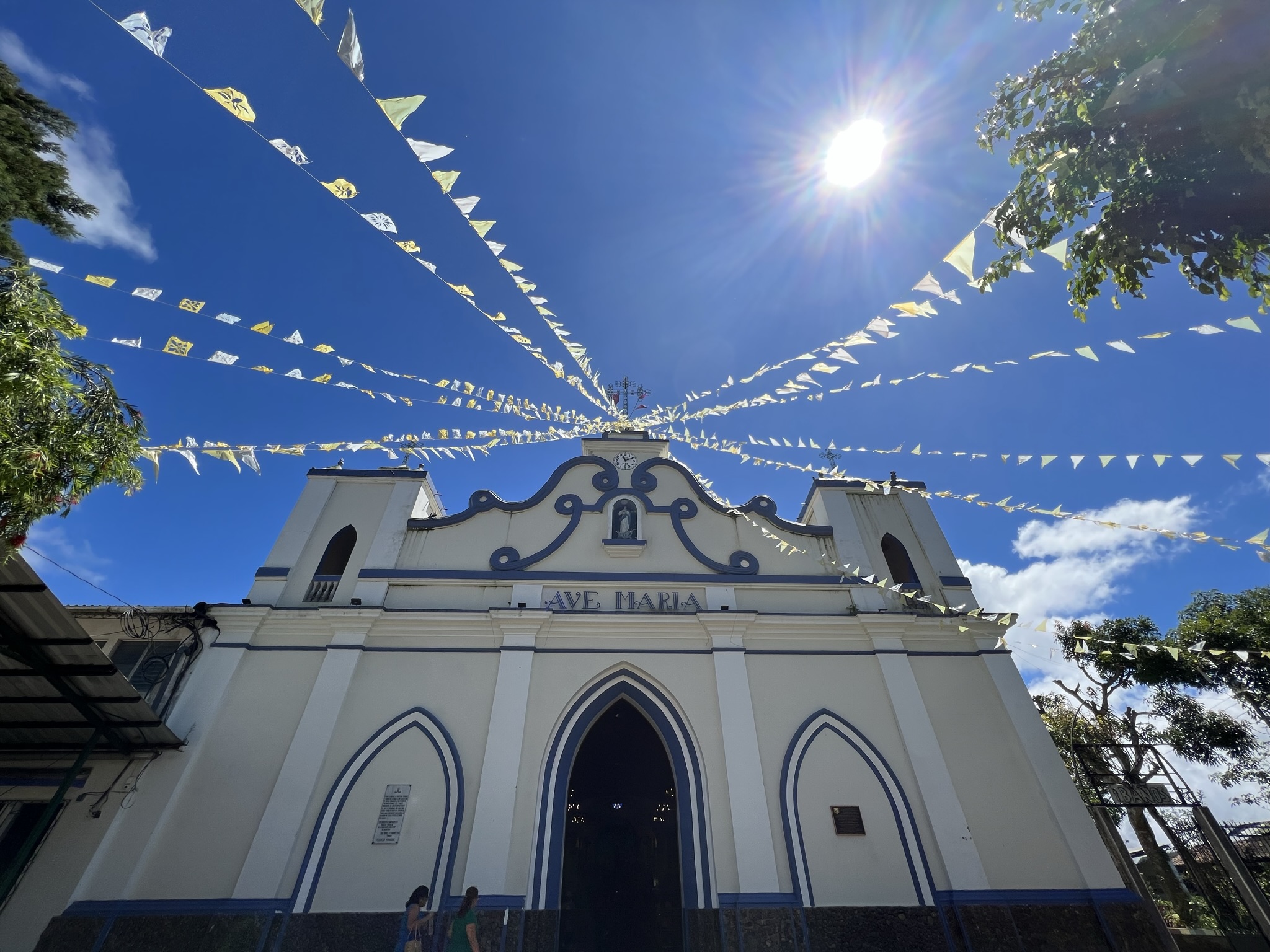
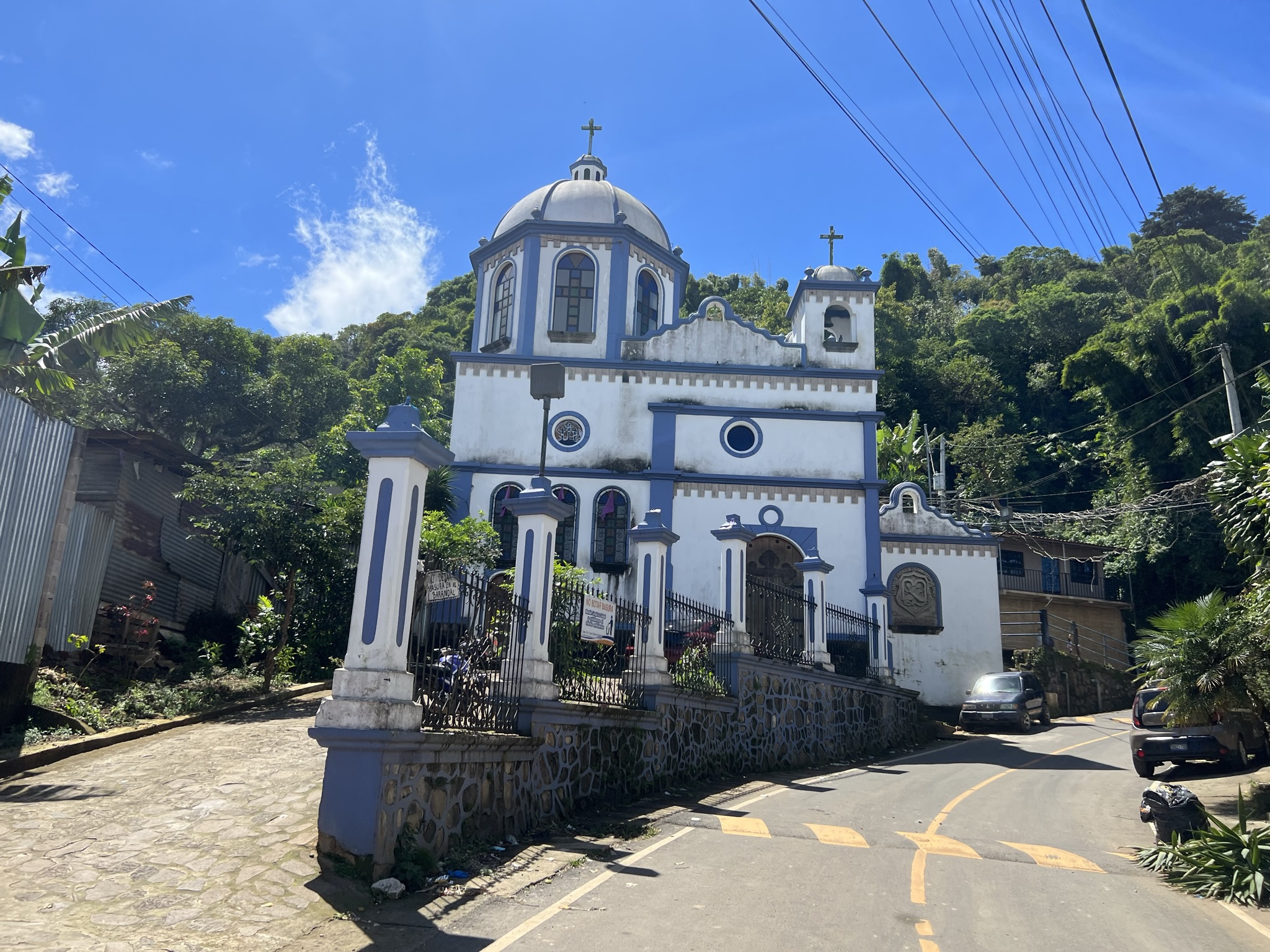
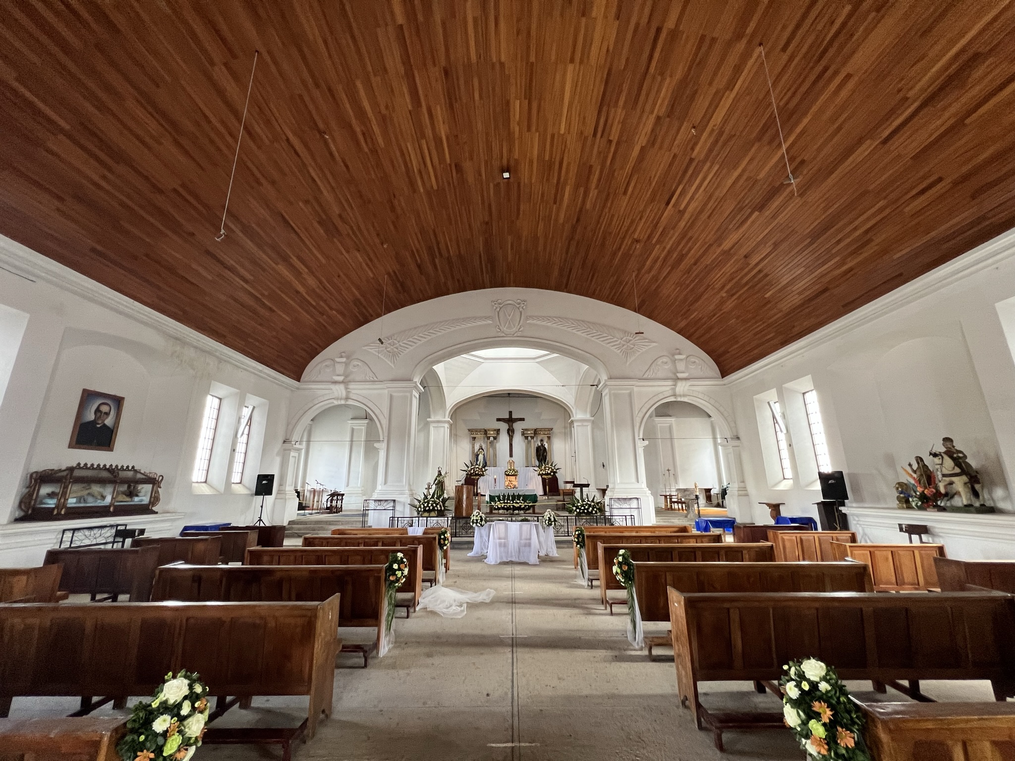
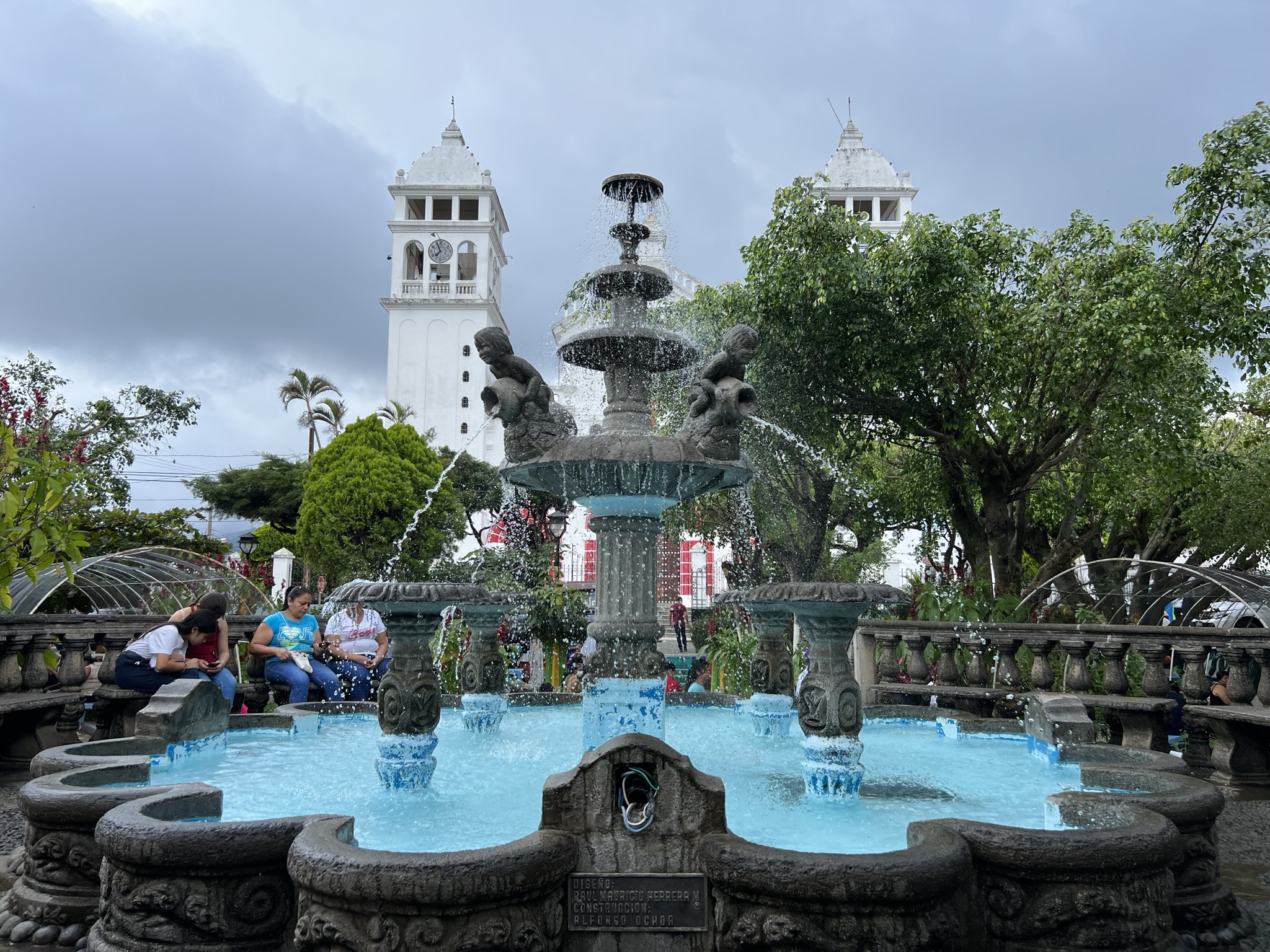
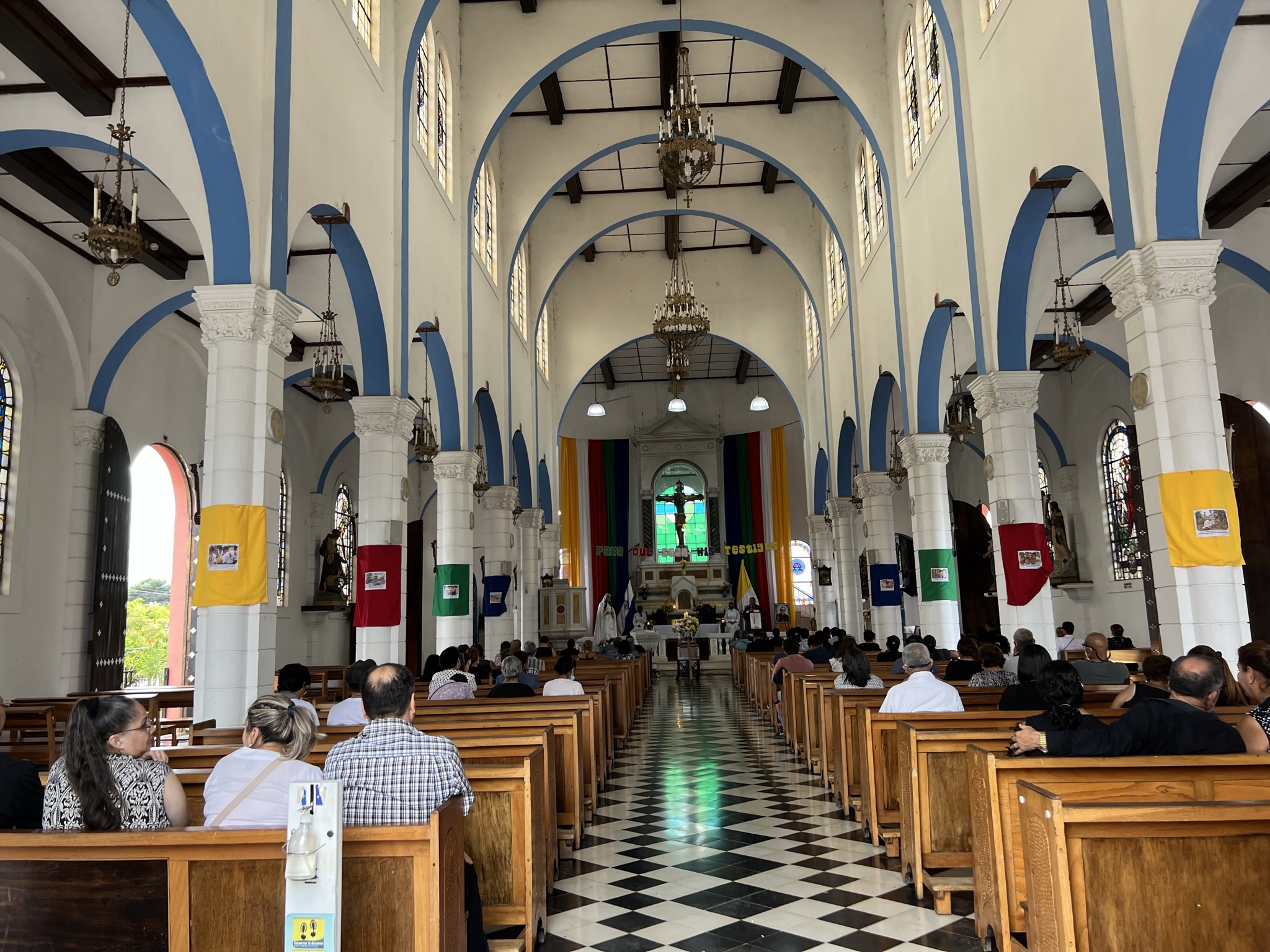
Our final stop would be the town of Juayúa. Much like the others, the city centre’s main attraction is the central park, with the beautiful church of Santa Lucía and its red and white façade. Here, I realised that all the churches we had visited had the same feature – a portrait of a priest. This, Kevin told me (he actually knew this one!) was Don Óscar Romero, an Archbishop of San Salvador who spoke out against injustice and violence during the Salvadoran Civil War, and who was ultimately assassinated during mass by the right-wing party. TO this day, he remains a symbol of peace, justice and non-violent resistance.
What attracts both locals and tourists alike to Juayúa is the fantastic street food market in the centre, with all kinds of food served right there and then. Apart from being home to some of the most delicious food I’d had the chance to try on my journey so far, I can also say it was the cheapest. Of course, my budgeting goals were axed as Kevin invited himself for a free meal. What is it with guides expecting free food, huh?
I’d say I enjoyed my rib-eye, only he kept on showing me the photos I took of him – which, he told me, he’d be using to promote his own touring company once he branched out. On our way back to Santa Ana, he also asked me if I thought he was a good guide – my answer being stark silence. I guess by the end he did confirm he was nothing more than a chauffeur. Way to go, Kevin.


